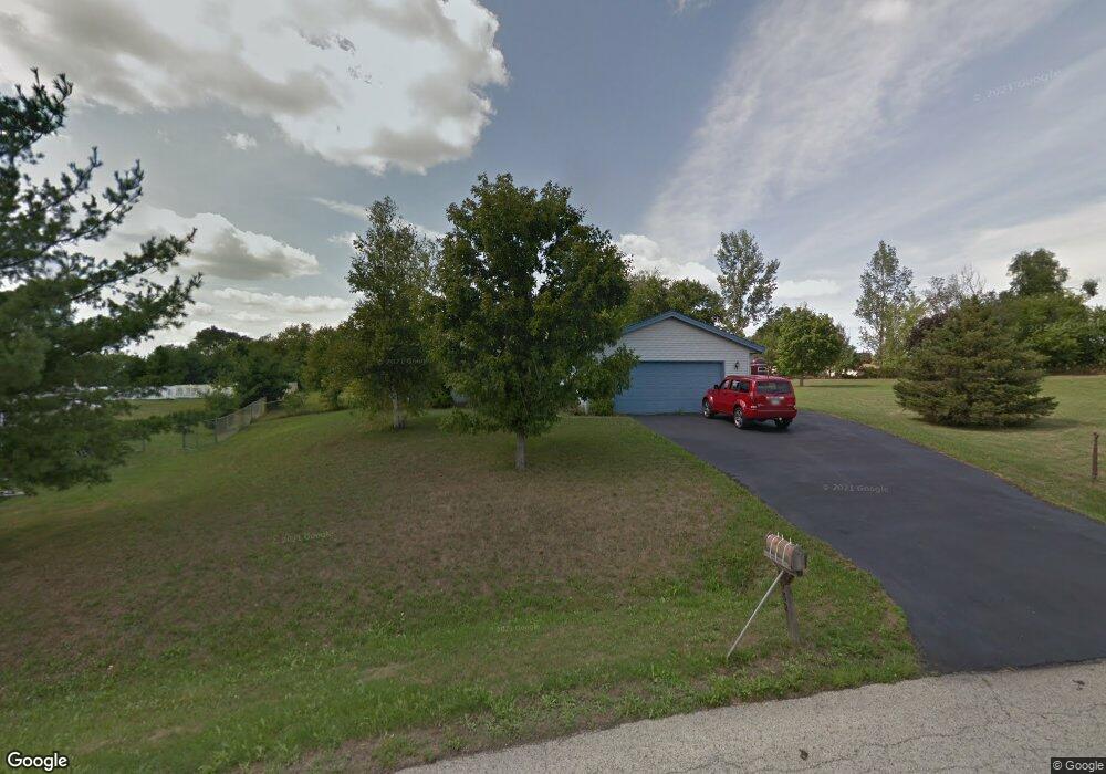
9932 Flint Ct Roscoe, IL 61073
Estimated Value: $274,444 - $291,000
3
Beds
2
Baths
1,728
Sq Ft
$165/Sq Ft
Est. Value
About This Home
This home is located at 9932 Flint Ct, Roscoe, IL 61073 and is currently estimated at $285,361, approximately $165 per square foot. 9932 Flint Ct is a home located in Winnebago County with nearby schools including Olson Park Elementary School, Harlem Middle School, and Harlem High School.
Ownership History
Date
Name
Owned For
Owner Type
Purchase Details
Closed on
Aug 20, 2016
Sold by
Trust 1989
Bought by
Follis Gerald L and Follis Jill K
Current Estimated Value
Home Financials for this Owner
Home Financials are based on the most recent Mortgage that was taken out on this home.
Original Mortgage
$80,100
Interest Rate
5%
Mortgage Type
New Conventional
Purchase Details
Closed on
Jul 28, 1995
Bought by
Follis Gerald L and Follis Jill K
Create a Home Valuation Report for This Property
The Home Valuation Report is an in-depth analysis detailing your home's value as well as a comparison with similar homes in the area
Home Values in the Area
Average Home Value in this Area
Purchase History
| Date | Buyer | Sale Price | Title Company |
|---|---|---|---|
| Follis Gerald L | $96,000 | -- | |
| Follis Gerald L | $96,000 | -- |
Source: Public Records
Mortgage History
| Date | Status | Borrower | Loan Amount |
|---|---|---|---|
| Closed | Follis Gerald L | $80,100 | |
| Closed | Follis Gerald L | $55,750 |
Source: Public Records
Tax History
| Year | Tax Paid | Tax Assessment Tax Assessment Total Assessment is a certain percentage of the fair market value that is determined by local assessors to be the total taxable value of land and additions on the property. | Land | Improvement |
|---|---|---|---|---|
| 2024 | $4,996 | $69,869 | $13,383 | $56,486 |
| 2022 | $4,536 | $56,594 | $10,840 | $45,754 |
| 2021 | $4,233 | $52,636 | $10,082 | $42,554 |
| 2020 | $3,869 | $50,139 | $9,604 | $40,535 |
| 2019 | $3,933 | $48,026 | $9,199 | $38,827 |
| 2018 | $4,346 | $46,451 | $8,897 | $37,554 |
| 2017 | $4,061 | $45,177 | $8,653 | $36,524 |
| 2016 | $4,573 | $44,278 | $8,481 | $35,797 |
| 2015 | $4,536 | $43,504 | $8,333 | $35,171 |
| 2014 | $4,653 | $44,990 | $4,943 | $40,047 |
Source: Public Records
Map
Nearby Homes
- 6395 Greystone
- 7334 Hawthorne Ridge
- 9208 Sheringham Dr
- 5652 Karakul Terrace
- 0000 Joncey Dr
- 7822 Burr Oak Rd
- 10582 Atwood Rd
- 8089 Mc Michael Rd
- 5488 Mahogany Ln
- 8535 Springwood Ct
- 5476 Ebonywood Ln
- 11738 Southgate Rd
- 5383 Mahogany Ln
- 5421 Ebonywood Ln
- 5343 Mahogany Ln
- 5447 Autumnash Ln
- 10821 Keokuk Trail
- 8511 Fig Tree Ln
- 5371 Heartwood Ln
- 5644 Buttercup Ln
Your Personal Tour Guide
Ask me questions while you tour the home.