9932 Flint Ct Roscoe, IL 61073
Estimated Value: $282,456 - $308,000
About This Home
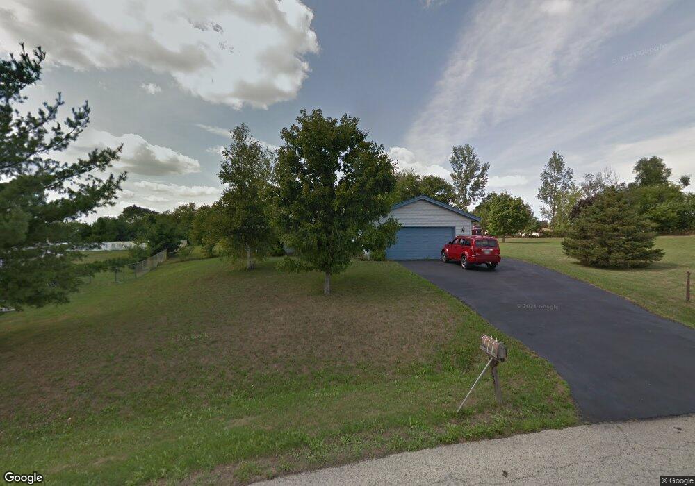
This home is located at 9932 Flint Ct, Roscoe, IL 61073 and is currently estimated at $301,114, approximately $174 per square foot. 9932 Flint Ct is a home located in Winnebago County with nearby schools including Olson Park Elementary School, Harlem Middle School, and Harlem High School.
Ownership History
We collect this data history from publicly available records. To have your information removed, we recommend requesting removal directly through your county’s website.
Purchase Details
Home Financials for this Owner
Home Financials are based on the most recent Mortgage that was taken out on this home.Purchase Details
Home Values in the Area
Average Home Value in this Area
Purchase History
We collect this data history from publicly available records. To have your information removed, we recommend requesting removal directly through your county’s website.
| Date | Buyer | Sale Price | Title Company |
|---|---|---|---|
| $96,000 | -- | ||
| $96,000 | -- |
Mortgage History
We collect this data history from publicly available records. To have your information removed, we recommend requesting removal directly through your county’s website.
| Date | Status | Borrower | Loan Amount |
|---|---|---|---|
| Closed | $80,100 | ||
| Closed | $55,750 |
Tax History
We collect this data history from publicly available records. To have your information removed, we recommend requesting removal directly through your county’s website.
| Year | Tax Paid | Tax Assessment Tax Assessment Total Assessment is a certain percentage of the fair market value that is determined by local assessors to be the total taxable value of land and additions on the property. | Land | Improvement |
|---|---|---|---|---|
| 2024 | $4,996 | $69,869 | $13,383 | $56,486 |
| 2022 | $4,536 | $56,594 | $10,840 | $45,754 |
| 2021 | $4,233 | $52,636 | $10,082 | $42,554 |
| 2020 | $3,869 | $50,139 | $9,604 | $40,535 |
| 2019 | $3,933 | $48,026 | $9,199 | $38,827 |
| 2018 | $4,346 | $46,451 | $8,897 | $37,554 |
| 2017 | $4,061 | $45,177 | $8,653 | $36,524 |
| 2016 | $4,573 | $44,278 | $8,481 | $35,797 |
| 2015 | $4,536 | $43,504 | $8,333 | $35,171 |
| 2014 | $4,653 | $44,990 | $4,943 | $40,047 |
Map
- 6179 Silver Hawk Ct
- 9974 Tybow Trail
- 7593 Grace Dr
- 9690 Merino Run
- 9208 Sheringham Dr
- 10589 Harrison Ct
- 9960 Bitterroot Rd
- 9415 Corriedale Run
- 7758 Ray Ct
- 5538 McDonald Rd
- 9219 Corriedale Run
- 11307 Ridgecrest Dr
- 7946 Louella Dr
- 10107 Atwood Rd
- 5828 Fry Dr
- 9690 N 2nd St
- 9127 Leicester Way
- 10062 Jesters Row
- 11335 Bayberry Dr
- 11497 Ridgecrest Dr
Ask me questions while you tour the home.