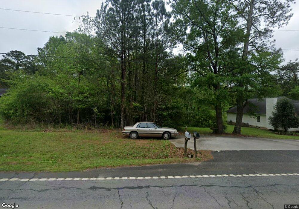
9932 Highway 18 W Concord, GA 30206
Estimated Value: $233,000 - $321,000
--
Bed
2
Baths
1,404
Sq Ft
$192/Sq Ft
Est. Value
About This Home
This home is located at 9932 Highway 18 W, Concord, GA 30206 and is currently estimated at $268,995, approximately $191 per square foot. 9932 Highway 18 W is a home located in Pike County with nearby schools including Pike County Primary School, Pike County Elementary School, and Pike County Middle School.
Ownership History
Date
Name
Owned For
Owner Type
Purchase Details
Closed on
Sep 13, 2021
Sold by
Hsia Jason Yung Haw
Bought by
Hsia Jason Yung Haw and Hsia Josephine K
Current Estimated Value
Purchase Details
Closed on
Aug 31, 2006
Sold by
Davis Carl
Bought by
Hsia Jason Yung Haw
Purchase Details
Closed on
Oct 29, 2004
Sold by
Gene James Construction In
Bought by
Potts Mona H
Purchase Details
Closed on
Mar 22, 2004
Sold by
Strickland John and Bledsoe Charles
Bought by
Davis Carl Etal
Purchase Details
Closed on
Mar 15, 2003
Sold by
Strickland Patricia
Bought by
Strickland John and Bledsoe Charles
Create a Home Valuation Report for This Property
The Home Valuation Report is an in-depth analysis detailing your home's value as well as a comparison with similar homes in the area
Home Values in the Area
Average Home Value in this Area
Purchase History
| Date | Buyer | Sale Price | Title Company |
|---|---|---|---|
| Hsia Jason Yung Haw | -- | -- | |
| Hsia Jason Yung Haw | $94,500 | -- | |
| Potts Mona H | $95,400 | -- | |
| Davis Carl Etal | $30,000 | -- | |
| Strickland John | $20,000 | -- |
Source: Public Records
Tax History Compared to Growth
Tax History
| Year | Tax Paid | Tax Assessment Tax Assessment Total Assessment is a certain percentage of the fair market value that is determined by local assessors to be the total taxable value of land and additions on the property. | Land | Improvement |
|---|---|---|---|---|
| 2024 | $2,377 | $80,460 | $6,732 | $73,728 |
| 2023 | $2,819 | $80,460 | $6,732 | $73,728 |
| 2022 | $1,662 | $57,266 | $6,732 | $50,534 |
| 2021 | $1,720 | $57,266 | $6,732 | $50,534 |
| 2020 | $1,740 | $57,266 | $6,732 | $50,534 |
| 2019 | $1,369 | $39,648 | $1,632 | $38,016 |
| 2018 | $1,370 | $39,648 | $1,632 | $38,016 |
| 2017 | $1,359 | $39,648 | $1,632 | $38,016 |
| 2016 | $1,261 | $39,648 | $1,632 | $38,016 |
| 2015 | $1,201 | $39,648 | $1,632 | $38,016 |
| 2014 | $1,218 | $39,648 | $1,632 | $38,016 |
| 2013 | -- | $39,648 | $1,632 | $38,016 |
Source: Public Records
Map
Nearby Homes
- 10000 Highway 18 W
- 1337 Green St
- L-8 Strickland Rd
- LOT 12 Flint Farms Dr
- LOT 11 Flint Farms Dr
- TRACT 5 Bates Rd (13 98acs)
- 184 Flint Farms Dr
- 243 Flint Farms Dr
- 126 Flint Farms Dr
- TRACT 2 Bates Rd (56 99acs)
- 0 West Rd Unit 10536330
- 0 West Rd Unit 10541322
- TRACT 1 Bates Rd (14 05acs)
- 0 W Fossett Rd Unit 10629253
- 2246 Concord Rd
- 0 Green St Unit 20083878
- 3.39 ACRES Caldwell Bridge Rd
- 764 Bates Rd (228 96acs)
- TRACT 6 & 7 Bates Rd (47 4acs)
- 2505 Plan at Ashley Glen
- 9930 Highway 18 W
- 9976 Highway 18 W
- 9930 Georgia 18
- 2306 Green St
- 2278 Green St
- 2250 Green St
- 2250 Green St Unit 16
- 2315 Green St Unit 1,2,3
- 2315 Green St
- 2291 Green St
- 2238 Green St
- 2289 Green St
- 10022 Georgia 18
- 2227 Green St
- 10022 Highway 18 W
- 2200 Green St
- 18 Green St
- 2251 Green St
- 00 Green St
- 2379 Green St