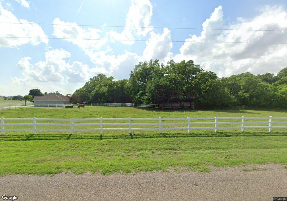
9937 N 2430 Rd Weatherford, OK 73096
Estimated Value: $364,000 - $466,539
3
Beds
3
Baths
2,542
Sq Ft
$155/Sq Ft
Est. Value
About This Home
This home is located at 9937 N 2430 Rd, Weatherford, OK 73096 and is currently estimated at $393,385, approximately $154 per square foot. 9937 N 2430 Rd is a home located in Custer County with nearby schools including Burcham Elementary School, Lt. General Thomas P. Stafford Elementary School, and Weatherford West Elementary School.
Ownership History
Date
Name
Owned For
Owner Type
Purchase Details
Closed on
Jun 8, 2005
Sold by
Christina M Hill Trust
Bought by
Larry W Kibbe
Current Estimated Value
Purchase Details
Closed on
May 20, 2003
Sold by
Hill Trust C/O Lloyd Hill
Bought by
Christina M Hill
Purchase Details
Closed on
Dec 8, 1999
Sold by
Lloyd A Hill
Bought by
Hill Trust C/O Lloyd Hill
Purchase Details
Closed on
Feb 27, 1998
Sold by
Lamar Crall R
Bought by
Lloyd A Hill
Create a Home Valuation Report for This Property
The Home Valuation Report is an in-depth analysis detailing your home's value as well as a comparison with similar homes in the area
Home Values in the Area
Average Home Value in this Area
Purchase History
| Date | Buyer | Sale Price | Title Company |
|---|---|---|---|
| Larry W Kibbe | $260,000 | -- | |
| Christina M Hill | -- | -- | |
| Hill Trust C/O Lloyd Hill | -- | -- | |
| Lloyd A Hill | $50,000 | -- |
Source: Public Records
Tax History Compared to Growth
Tax History
| Year | Tax Paid | Tax Assessment Tax Assessment Total Assessment is a certain percentage of the fair market value that is determined by local assessors to be the total taxable value of land and additions on the property. | Land | Improvement |
|---|---|---|---|---|
| 2024 | $3,483 | $36,316 | $2,263 | $34,053 |
| 2023 | $3,483 | $35,258 | $2,263 | $32,995 |
| 2022 | $3,296 | $35,258 | $2,263 | $32,995 |
| 2021 | $3,277 | $34,793 | $2,263 | $32,530 |
| 2020 | $3,303 | $33,779 | $2,263 | $31,516 |
| 2019 | $3,574 | $36,104 | $2,080 | $34,024 |
| 2018 | $3,151 | $35,052 | $2,111 | $32,941 |
| 2017 | $3,113 | $34,033 | $2,027 | $32,006 |
| 2016 | $3,048 | $33,042 | $1,946 | $31,096 |
| 2015 | $3,000 | $32,079 | $1,952 | $30,127 |
| 2014 | $2,903 | $31,144 | $2,300 | $28,844 |
Source: Public Records
Map
Nearby Homes
- 0 N 2425 Rd
- 9919 N 2436 Rd
- 0 White Tail Rd Unit 1103102
- 0 White Tail Rd Unit 1103108
- 0 White Tail Rd Unit 1103106
- 0 White Tail Rd Unit 1103105
- 0 White Tail Rd Unit 1103098
- 0 White Tail Rd Unit 1103113
- 0 White Tail Rd Unit 1103112
- 0 White Tail Rd Unit 1103110
- 0 White Tail Rd Unit 1103109
- 0 White Tail Rd Unit 1103711
- 0 Buck Ln Unit 1103089
- 0 Buck Ln Unit 1103094
- 0 Buck Ln Unit 1103079
- 24191 E 996 Rd
- 24174 E 998 Rd
- 2003 Mickelson Dr
- 2005 Mickelson Dr
- 2001 Mickelson Dr
- 9939 N 2430 Rd
- 24283 E 995 Rd
- 24281 E 995 Rd
- 24279 E 995 Rd
- 24316 E 990 Rd
- 24250 E 990 Rd
- 9943 N 2436 Rd
- 9910 N 2430 Rd
- 24267 E 995 Rd
- 24310 E 990 Rd
- 9935 N 2436
- 9938 N 2436 Rd
- 9965 N 2426 Rd
- 9976 N 2426 Rd
- 24309 E Rural Wford Rd
- 9987 N 2426 Rd
- 9975 N 2426 Rd
- 9981 N 2426 Rd
- 9988 N 2430 Rd
- 9975 N Triple H (2426 Rd) Rd