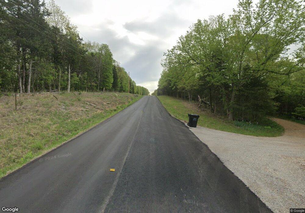
9937 Route N Centertown, MO 65023
Estimated Value: $320,000 - $331,139
2
Beds
2
Baths
1,300
Sq Ft
$251/Sq Ft
Est. Value
About This Home
This home is located at 9937 Route N, Centertown, MO 65023 and is currently estimated at $326,380, approximately $251 per square foot. 9937 Route N is a home located in Cole County with nearby schools including Jamestown C-I Elementary School and Jamestown C-1 High School.
Ownership History
Date
Name
Owned For
Owner Type
Purchase Details
Closed on
Nov 28, 2022
Sold by
Schubert Aaron
Bought by
Renken William G and Delgado Eutimio
Current Estimated Value
Home Financials for this Owner
Home Financials are based on the most recent Mortgage that was taken out on this home.
Original Mortgage
$171,000
Outstanding Balance
$165,869
Interest Rate
6.95%
Mortgage Type
New Conventional
Estimated Equity
$160,511
Purchase Details
Closed on
Nov 15, 2022
Sold by
Barnett Amanda
Bought by
Schubert Aaron
Home Financials for this Owner
Home Financials are based on the most recent Mortgage that was taken out on this home.
Original Mortgage
$171,000
Outstanding Balance
$165,869
Interest Rate
6.95%
Mortgage Type
New Conventional
Estimated Equity
$160,511
Create a Home Valuation Report for This Property
The Home Valuation Report is an in-depth analysis detailing your home's value as well as a comparison with similar homes in the area
Home Values in the Area
Average Home Value in this Area
Purchase History
| Date | Buyer | Sale Price | Title Company |
|---|---|---|---|
| Renken William G | -- | -- | |
| Schubert Aaron | -- | -- |
Source: Public Records
Mortgage History
| Date | Status | Borrower | Loan Amount |
|---|---|---|---|
| Open | Renken William G | $171,000 |
Source: Public Records
Tax History Compared to Growth
Tax History
| Year | Tax Paid | Tax Assessment Tax Assessment Total Assessment is a certain percentage of the fair market value that is determined by local assessors to be the total taxable value of land and additions on the property. | Land | Improvement |
|---|---|---|---|---|
| 2025 | $1,784 | $32,510 | $3,330 | $29,180 |
| 2024 | $1,784 | $32,170 | $3,330 | $28,840 |
| 2023 | $1,783 | $32,170 | $3,330 | $28,840 |
| 2022 | $1,278 | $22,990 | $0 | $22,990 |
| 2021 | $1,275 | $22,990 | $0 | $22,990 |
| 2020 | $1,290 | $24,871 | $3,325 | $21,546 |
| 2019 | $1,291 | $24,909 | $3,325 | $21,584 |
| 2018 | $1,276 | $23,522 | $3,325 | $20,197 |
| 2017 | $1,291 | $22,990 | $3,325 | $19,665 |
| 2016 | $1,175 | $21,052 | $3,325 | $17,727 |
| 2015 | $1,112 | $0 | $0 | $0 |
| 2014 | $1,112 | $21,052 | $3,363 | $17,689 |
Source: Public Records
Map
Nearby Homes
- 11328 Hunziker Rd
- 0
- 20200 S Jemerson Creek Rd
- 0 Route Nn
- 3705 Widgeonwood Way
- LOT 3 E Cedar Tree Ln
- 20560 S Route A
- 0 S 40 Acres M L Jemerson Creek Rd Unit 416447
- 3111 E West Snowy Hills Ln
- 3 Hwy M Hwy
- 52968 W Railroad Rd
- 16055 S J D Sapp Rd
- 0 State Route N
- 112 Dixie Gardens
- 1300 E Fox Hollow Rd
- 16000 S J D Sapp Rd
- 223 Route U
- 23258 Cedar Ridge Dr
- 18185 S Old Route A
- 12614 Lookout Trail
- 10109 Route N
- 9913 Route N
- 9906 Route N
- 6906 Highway 179
- 6725 Highway 179
- 6912 Missouri 179
- 6703 Highway 179
- 6912 Highway 179
- 6916 Highway 179
- 6726 Highway 179
- 10011 Lafarge Rd
- 7002 Highway 179
- 10407 Route N
- 10618 Route N
- 6314 Highway 179
- 10605 Route N
- 7324 Highway 179
- 6207 17 Hwy
- 6207 Missouri 179
- 6207 Highway 179
