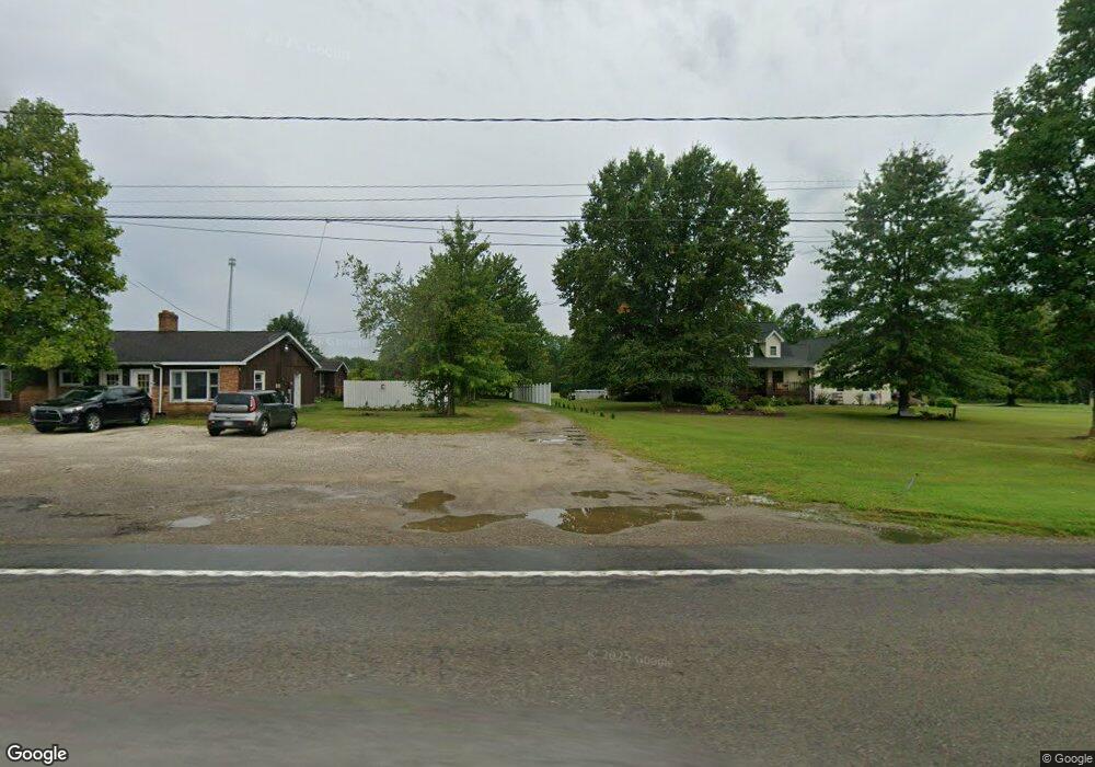
9941 Route 6n Albion, PA 16401
Estimated Value: $318,000 - $443,000
4
Beds
4
Baths
2,831
Sq Ft
$132/Sq Ft
Est. Value
About This Home
This home is located at 9941 Route 6n, Albion, PA 16401 and is currently estimated at $374,698, approximately $132 per square foot. 9941 Route 6n is a home located in Erie County with nearby schools including Northwestern Senior High School and Cranesville Christian Academy.
Ownership History
Date
Name
Owned For
Owner Type
Purchase Details
Closed on
Jul 14, 2008
Sold by
Sutter Robert K and Young Tonya
Bought by
Randall David L and Randall Shannon A
Current Estimated Value
Home Financials for this Owner
Home Financials are based on the most recent Mortgage that was taken out on this home.
Original Mortgage
$34,500
Outstanding Balance
$22,325
Interest Rate
6.13%
Mortgage Type
Unknown
Estimated Equity
$352,373
Purchase Details
Closed on
Jul 13, 2005
Sold by
Tychan Terri M and Tychan John P
Bought by
Sutter Robert K
Home Financials for this Owner
Home Financials are based on the most recent Mortgage that was taken out on this home.
Original Mortgage
$160,000
Interest Rate
5.67%
Mortgage Type
New Conventional
Create a Home Valuation Report for This Property
The Home Valuation Report is an in-depth analysis detailing your home's value as well as a comparison with similar homes in the area
Home Values in the Area
Average Home Value in this Area
Purchase History
| Date | Buyer | Sale Price | Title Company |
|---|---|---|---|
| Randall David L | $230,000 | None Available | |
| Sutter Robert K | $160,000 | -- |
Source: Public Records
Mortgage History
| Date | Status | Borrower | Loan Amount |
|---|---|---|---|
| Open | Randall David L | $34,500 | |
| Open | Randall David L | $184,000 | |
| Previous Owner | Sutter Robert K | $160,000 |
Source: Public Records
Tax History Compared to Growth
Tax History
| Year | Tax Paid | Tax Assessment Tax Assessment Total Assessment is a certain percentage of the fair market value that is determined by local assessors to be the total taxable value of land and additions on the property. | Land | Improvement |
|---|---|---|---|---|
| 2025 | $5,954 | $251,700 | $29,800 | $221,900 |
| 2024 | $5,752 | $251,700 | $29,800 | $221,900 |
| 2023 | $5,238 | $251,700 | $29,800 | $221,900 |
| 2022 | $5,169 | $251,700 | $29,800 | $221,900 |
| 2021 | $4,946 | $251,700 | $29,800 | $221,900 |
| 2020 | $4,883 | $251,700 | $29,800 | $221,900 |
| 2019 | $4,795 | $251,700 | $29,800 | $221,900 |
| 2018 | $4,631 | $251,700 | $29,800 | $221,900 |
| 2017 | $4,631 | $251,700 | $29,800 | $221,900 |
| 2016 | $5,402 | $251,700 | $29,800 | $221,900 |
| 2015 | $5,339 | $251,700 | $29,800 | $221,900 |
| 2014 | $3,073 | $251,700 | $29,800 | $221,900 |
Source: Public Records
Map
Nearby Homes
- 10023 Reservoir Rd
- 0 Winchester Dr Unit 178085
- 0 Winchester Dr Unit 178083
- 11120 West Rd
- Lot3 West Rd
- Lot1 West Rd
- 95 3rd Ave
- 16 Highland Ave
- 9958 Bateman Ave
- 60 Park Ave
- 86 S Main St
- 9840 Bateman Ave
- 9834 Bateman Ave
- 0 Route 6n
- 22 Cherry St
- 9749 9801 Moses Rd
- 8350 Carbury Rd
- 10650 Bowmantown Rd
- 8574 Kinsey Rd
- 10210 Knapp Rd