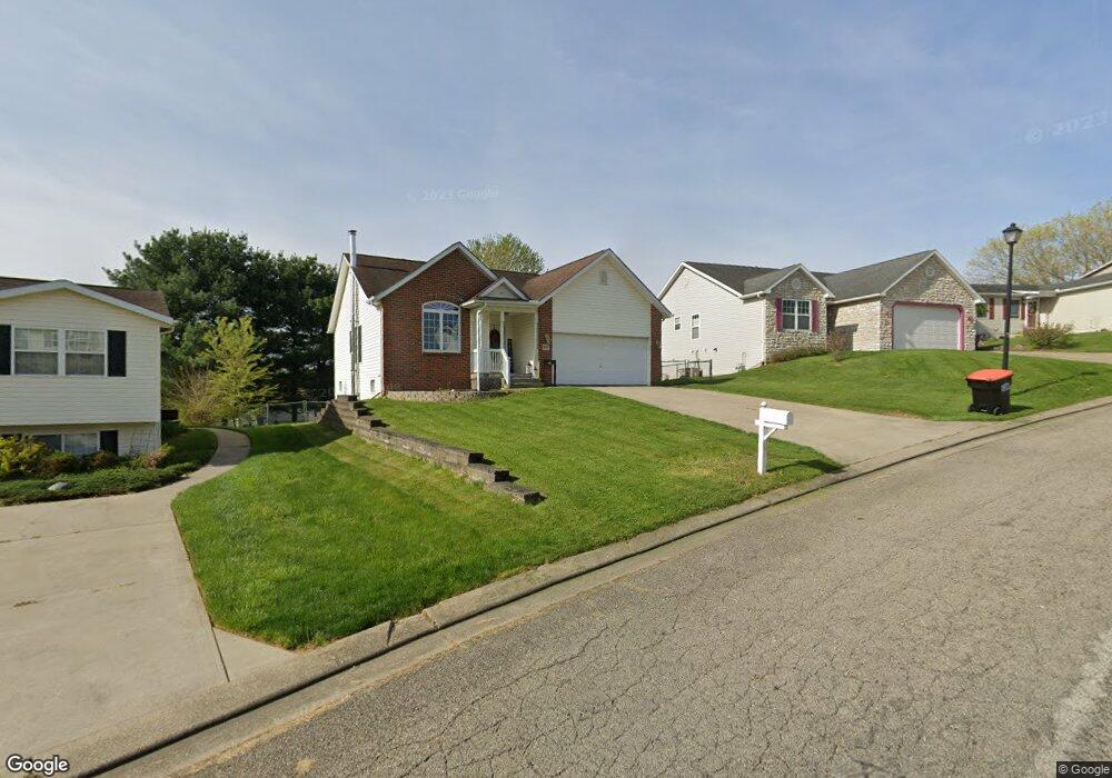
995 Blueberry Ct Newark, OH 43055
Estimated Value: $249,171 - $293,000
3
Beds
3
Baths
2,109
Sq Ft
$127/Sq Ft
Est. Value
About This Home
This home is located at 995 Blueberry Ct, Newark, OH 43055 and is currently estimated at $267,293, approximately $126 per square foot. 995 Blueberry Ct is a home located in Licking County with nearby schools including Carson Elementary School, Heritage Middle School, and Newark High School.
Ownership History
Date
Name
Owned For
Owner Type
Purchase Details
Closed on
Apr 15, 2005
Sold by
Wickline Timothy R and Wickline Deborah E
Bought by
Freas Samuel and Freas Erin
Current Estimated Value
Home Financials for this Owner
Home Financials are based on the most recent Mortgage that was taken out on this home.
Original Mortgage
$143,318
Outstanding Balance
$74,438
Interest Rate
5.88%
Mortgage Type
FHA
Estimated Equity
$192,855
Purchase Details
Closed on
Oct 3, 2001
Sold by
Hotchkiss Jeffrey A
Bought by
Wickline Deborah E and Wickline Timothy R
Purchase Details
Closed on
Sep 22, 2000
Sold by
Anderson Layman Co
Bought by
Hotchkiss Jeffrey A
Create a Home Valuation Report for This Property
The Home Valuation Report is an in-depth analysis detailing your home's value as well as a comparison with similar homes in the area
Home Values in the Area
Average Home Value in this Area
Purchase History
| Date | Buyer | Sale Price | Title Company |
|---|---|---|---|
| Freas Samuel | $144,500 | -- | |
| Wickline Deborah E | $124,900 | -- | |
| Hotchkiss Jeffrey A | $19,000 | -- |
Source: Public Records
Mortgage History
| Date | Status | Borrower | Loan Amount |
|---|---|---|---|
| Open | Freas Samuel | $143,318 | |
| Closed | Wickline Deborah E | -- |
Source: Public Records
Tax History Compared to Growth
Tax History
| Year | Tax Paid | Tax Assessment Tax Assessment Total Assessment is a certain percentage of the fair market value that is determined by local assessors to be the total taxable value of land and additions on the property. | Land | Improvement |
|---|---|---|---|---|
| 2024 | $2,249 | $62,900 | $17,750 | $45,150 |
| 2023 | $2,245 | $62,900 | $17,750 | $45,150 |
| 2022 | $2,055 | $51,240 | $10,360 | $40,880 |
| 2021 | $2,155 | $51,240 | $10,360 | $40,880 |
| 2020 | $2,204 | $51,240 | $10,360 | $40,880 |
| 2019 | $2,009 | $44,980 | $9,420 | $35,560 |
| 2018 | $2,010 | $0 | $0 | $0 |
| 2017 | $1,925 | $0 | $0 | $0 |
| 2016 | $407 | $0 | $0 | $0 |
| 2015 | $416 | $0 | $0 | $0 |
| 2014 | $532 | $0 | $0 | $0 |
| 2013 | $399 | $0 | $0 | $0 |
Source: Public Records
Map
Nearby Homes
- 934 Garfield Ave
- 87 Liberty Ave
- 952 Emerson St
- 688 Russell Ave
- 554 Garfield Ave
- 0 Swans Rd NE
- 491 Garfield Ave
- 240 N Wing St
- 506 Lexington Ave
- 483 Allston Ave
- 460 Allston Ave
- 424 Ridge Ave
- 76 Oakwood Ave
- 167 Essex St
- 160 N Cedar St
- 430 E Main St
- 452 Walnut Ln
- 1791 Staddens Bridge Rd SE
- 51 Mill St
- 232 Rosehill Ave
- 989 Blueberry Ct
- 1003 Blueberry Ct
- 983 Blueberry Ct
- 996 Garfield Ave
- 1004 Garfield Ave
- 988 Garfield Ave
- 1000 Blueberry Ct
- 980 Garfield Ave
- 986 Blueberry Ct
- 977 Blueberry Ct
- 212 Alcon Dr
- 220 Alcon Dr
- 204 Alcon Dr
- 393 Alcon Dr
- 400 Alcon Dr
- 0 Alcon Dr
- 972 Garfield Ave
- 971 Blueberry Ct
- 978 Blueberry Ct
- 226 Alcon Dr