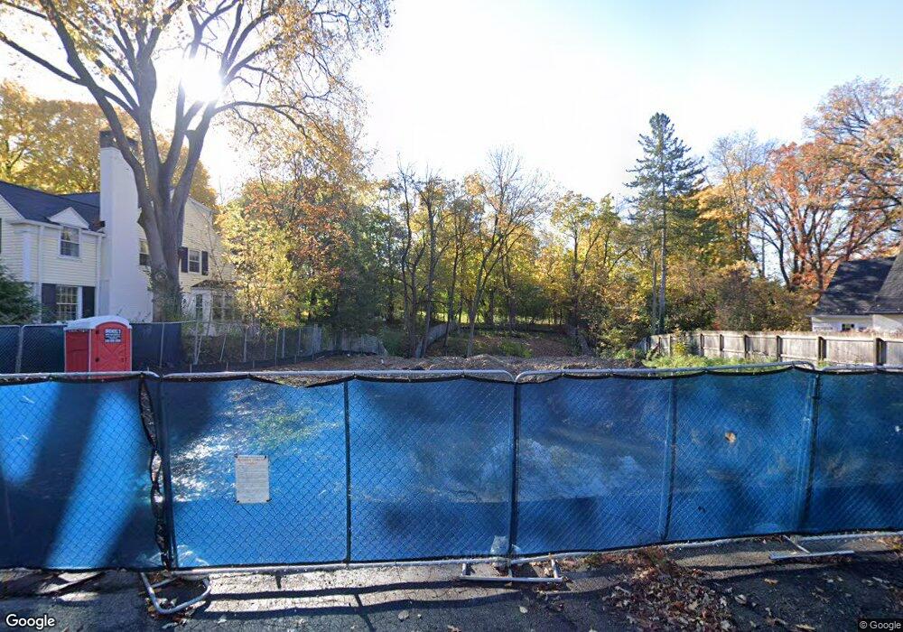
995 Gordon Ln Unit Bldg-Unit Birmingham, MI 48009
Estimated Value: $1,085,000 - $2,715,000
3
Beds
5
Baths
4,044
Sq Ft
$485/Sq Ft
Est. Value
About This Home
This home is located at 995 Gordon Ln Unit Bldg-Unit, Birmingham, MI 48009 and is currently estimated at $1,959,323, approximately $484 per square foot. 995 Gordon Ln Unit Bldg-Unit is a home located in Oakland County with nearby schools including Pierce Elementary School, Derby Middle School, and Ernest W. Seaholm High School.
Ownership History
Date
Name
Owned For
Owner Type
Purchase Details
Closed on
Nov 19, 2019
Sold by
Przekop Jerome T and Jerome T Przekop Trust
Bought by
Przekop Jerome T and Przekop Laura Ann
Current Estimated Value
Purchase Details
Closed on
Feb 23, 2018
Sold by
Ryan J Douglas and Joseph M Ryan Trust
Bought by
Jerome T Przekop Trust and Laura Ann Przekop Trust
Purchase Details
Closed on
May 24, 2004
Sold by
Ryan Nancy M
Bought by
Ryan Nancy M and Nancy M Ryan Trust
Purchase Details
Closed on
Apr 29, 2004
Sold by
Ryan Joseph M and Ryan Nancy M
Bought by
Ryan Nancy M and Ryan Joseph M
Create a Home Valuation Report for This Property
The Home Valuation Report is an in-depth analysis detailing your home's value as well as a comparison with similar homes in the area
Home Values in the Area
Average Home Value in this Area
Purchase History
| Date | Buyer | Sale Price | Title Company |
|---|---|---|---|
| Przekop Jerome T | -- | None Available | |
| Jerome T Przekop Trust | $540,000 | Devon Title Agency | |
| Ryan Nancy M | -- | -- | |
| Ryan Joseph M | -- | -- | |
| Ryan Nancy M | -- | -- |
Source: Public Records
Tax History Compared to Growth
Tax History
| Year | Tax Paid | Tax Assessment Tax Assessment Total Assessment is a certain percentage of the fair market value that is determined by local assessors to be the total taxable value of land and additions on the property. | Land | Improvement |
|---|---|---|---|---|
| 2024 | $34,298 | $1,054,500 | $0 | $0 |
| 2023 | $32,866 | $1,002,140 | $0 | $0 |
| 2022 | $28,636 | $659,940 | $0 | $0 |
| 2021 | $9,969 | $212,670 | $0 | $0 |
| 2020 | $12,893 | $315,290 | $0 | $0 |
| 2019 | $15,973 | $303,030 | $0 | $0 |
| 2018 | $9,686 | $307,250 | $0 | $0 |
| 2017 | $9,670 | $299,180 | $0 | $0 |
| 2016 | $9,688 | $289,180 | $0 | $0 |
| 2015 | -- | $270,620 | $0 | $0 |
| 2014 | -- | $239,660 | $0 | $0 |
| 2011 | -- | $266,870 | $0 | $0 |
Source: Public Records
Map
Nearby Homes
- 834 Southfield Rd
- 633 Hawthorne St
- 730 Wallace St
- 1053 Canterbury St
- 1057 Arlington St
- 650 Hanna St
- 591 Wallace St
- 583 Southfield Rd
- 1300 Northlawn Blvd
- 532 Wallace St
- 1345 Fairway Dr
- 329 Linden Rd
- 611 Watkins St
- 480 Southfield Rd
- 1541 Shipman Blvd
- 608 Stanley Blvd
- 1395 Northlawn Blvd
- 999 Pleasant Ave
- 572 Stanley Blvd
- 200 Woodland Villa Ct
- 995 Gordon Ln
- 977 Gordon Ln
- 1040 Gordon Ln
- 959 Gordon Ln
- 935 Gordon Ln
- 988 Gordon Ln
- 952 Southfield Rd
- 986 W Lincoln St
- 1010 W Lincoln St
- 1030 W Lincoln St
- 920 Gordon Ln
- 891 Gordon Ln
- 950 W Lincoln St
- 1048 Southfield Rd
- 1052 W Lincoln St
- 1100 W Lincoln St
- 872 Gordon Ln
- 1150 W Lincoln St
- 967 Southfield Rd
- 794 Southfield Rd
