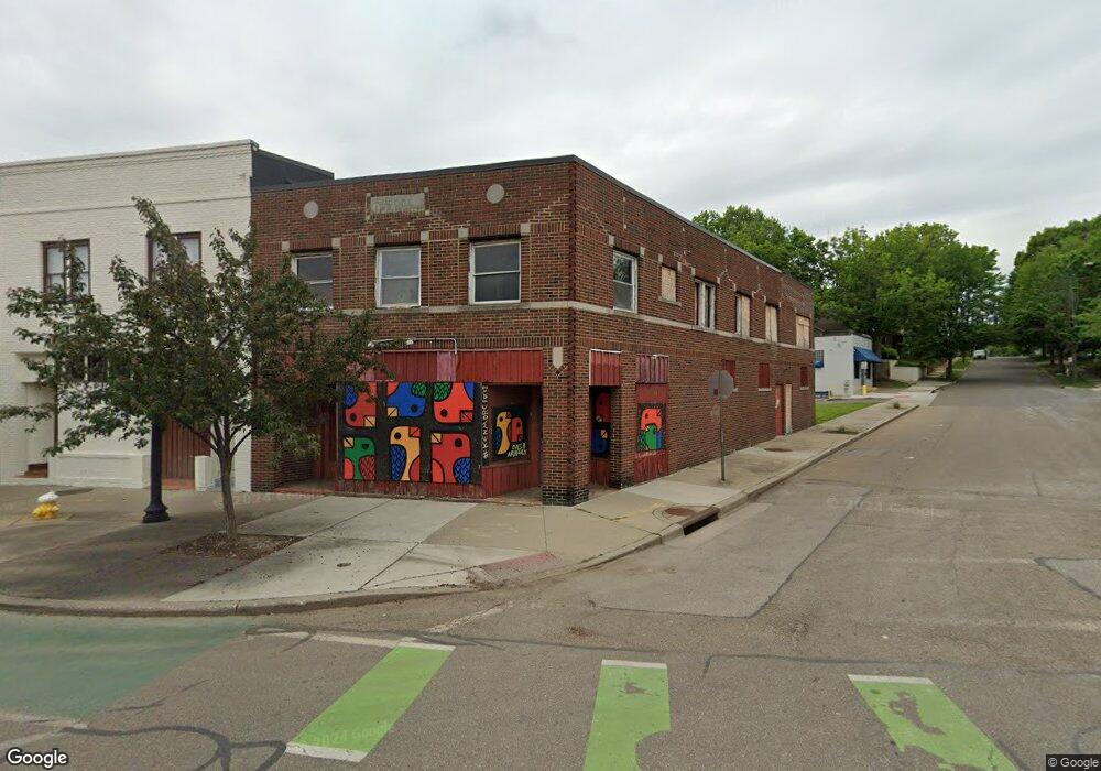
995 Kenmore Blvd Akron, OH 44314
Kenmore NeighborhoodEstimated Value: $151,722
--
Bed
3
Baths
6,676
Sq Ft
$23/Sq Ft
Est. Value
About This Home
This home is located at 995 Kenmore Blvd, Akron, OH 44314 and is currently estimated at $151,722, approximately $22 per square foot. 995 Kenmore Blvd is a home located in Summit County with nearby schools including Pfeiffer Elementary School, Kenmore Garfield Community Learning Center, and Emmanuel Christian Academy.
Ownership History
Date
Name
Owned For
Owner Type
Purchase Details
Closed on
Jun 24, 2021
Sold by
Summit County Land Reutilization Corp
Bought by
Alliance Kenmore Neighborhood
Current Estimated Value
Home Financials for this Owner
Home Financials are based on the most recent Mortgage that was taken out on this home.
Original Mortgage
$150,000
Outstanding Balance
$135,510
Interest Rate
2.9%
Mortgage Type
Purchase Money Mortgage
Estimated Equity
$16,212
Purchase Details
Closed on
May 13, 2021
Sold by
Radcliffe Todd and Scalise Kristen M
Bought by
Summit County Land Reutilization Corp
Home Financials for this Owner
Home Financials are based on the most recent Mortgage that was taken out on this home.
Original Mortgage
$150,000
Outstanding Balance
$135,510
Interest Rate
2.9%
Mortgage Type
Purchase Money Mortgage
Estimated Equity
$16,212
Purchase Details
Closed on
Jul 12, 2004
Sold by
Strickland Timothy K
Bought by
Radcliffe Todd and Radcliffe Kimberly L
Home Financials for this Owner
Home Financials are based on the most recent Mortgage that was taken out on this home.
Original Mortgage
$66,000
Interest Rate
6.34%
Mortgage Type
Commercial
Purchase Details
Closed on
May 19, 2004
Sold by
Strickland Timothy K
Bought by
Radcliffe Todd
Home Financials for this Owner
Home Financials are based on the most recent Mortgage that was taken out on this home.
Original Mortgage
$66,000
Interest Rate
6.34%
Mortgage Type
Commercial
Purchase Details
Closed on
Nov 29, 2003
Sold by
Strickland Timothy K and Strickland Tina
Bought by
Radcliffe Todd
Home Financials for this Owner
Home Financials are based on the most recent Mortgage that was taken out on this home.
Original Mortgage
$84,320
Interest Rate
6%
Mortgage Type
Seller Take Back
Purchase Details
Closed on
Jun 23, 2003
Sold by
Strickland Timothy K and Strickland Tina
Bought by
Strickland Timothy K and Timothy K Strickland Revocable Living Tr
Purchase Details
Closed on
Feb 6, 1995
Sold by
L J R Co
Bought by
Strickland Timothy K and Strickland Tina
Home Financials for this Owner
Home Financials are based on the most recent Mortgage that was taken out on this home.
Original Mortgage
$43,000
Interest Rate
9.24%
Mortgage Type
Commercial
Create a Home Valuation Report for This Property
The Home Valuation Report is an in-depth analysis detailing your home's value as well as a comparison with similar homes in the area
Home Values in the Area
Average Home Value in this Area
Purchase History
| Date | Buyer | Sale Price | Title Company |
|---|---|---|---|
| Alliance Kenmore Neighborhood | -- | Minnesota Title Box | |
| Summit County Land Reutilization Corp | -- | None Available | |
| Radcliffe Todd | $86,320 | Chicago Title Insurance Co | |
| Radcliffe Todd | $86,320 | Chicago Title Insurance Co | |
| Radcliffe Todd | $86,320 | Chicago Title Insurance Comp | |
| Strickland Timothy K | -- | C & J Title Agency Inc | |
| Strickland Timothy K | $48,000 | -- |
Source: Public Records
Mortgage History
| Date | Status | Borrower | Loan Amount |
|---|---|---|---|
| Open | Alliance Kenmore Neighborhood | $150,000 | |
| Previous Owner | Radcliffe Todd | $66,000 | |
| Previous Owner | Radcliffe Todd | $84,320 | |
| Previous Owner | Radcliffe Todd | $84,320 | |
| Previous Owner | Strickland Timothy K | $43,000 | |
| Closed | Radcliffe Todd | $60,000 |
Source: Public Records
Tax History Compared to Growth
Tax History
| Year | Tax Paid | Tax Assessment Tax Assessment Total Assessment is a certain percentage of the fair market value that is determined by local assessors to be the total taxable value of land and additions on the property. | Land | Improvement |
|---|---|---|---|---|
| 2025 | $1,292 | $5,691 | $3,094 | $2,597 |
| 2024 | $1,292 | $5,691 | $3,094 | $2,597 |
| 2023 | $1,251 | $5,691 | $3,094 | $2,597 |
| 2022 | $1,251 | $5,691 | $3,094 | $2,597 |
| 2021 | $1,164 | $5,691 | $3,094 | $2,597 |
| 2020 | $1,895 | $5,690 | $3,090 | $2,600 |
| 2019 | $3,015 | $7,200 | $2,940 | $4,260 |
| 2018 | $2,019 | $7,200 | $2,940 | $4,260 |
| 2017 | $4,135 | $28,330 | $2,940 | $25,390 |
| 2016 | $4,135 | $29,810 | $3,090 | $26,720 |
| 2015 | $4,135 | $29,810 | $3,090 | $26,720 |
| 2014 | $4,120 | $29,810 | $3,090 | $26,720 |
| 2013 | $3,895 | $25,350 | $2,630 | $22,720 |
Source: Public Records
Map
Nearby Homes
- 2189 15th St SW
- 2227 18th St SW
- 2304 14th St SW
- 2171 12th St SW
- 2232 19th St SW
- 2140 18th St SW
- 2137 12th St SW
- 2278 11th St SW
- 2346 16th St SW
- 2086 13th St SW
- 2311 19th St SW
- 2104 11th St SW
- 773 Montana Ave
- 2323 11th St SW
- 2078 18th St SW
- 898 Iona Ave
- 2041 13th St SW
- 955 Iona Ave
- 2016 13th St SW
- 2205 Kimball Ct
- 999 Kenmore Blvd
- 991 Kenmore Blvd
- 992 Kenmore Blvd
- 985 Kenmore Blvd
- 987 Kenmore Blvd
- 1015 Kenmore Blvd
- 984 988 Kenmore Blvd
- 984 Kenmore Blvd
- 2200 15th St SW
- 1000 Kenmore Blvd
- 1002 Kenmore Blvd
- 2207 16th St SW
- 2194 15th St SW
- 973 Kenmore Blvd
- 971 973 Kenmore Blvd
- 966 Kenmore Blvd
- 2190 15th St SW
- 971 Kenmore Blvd
- 1014 Kenmore Blvd
- 2195 16th St SW