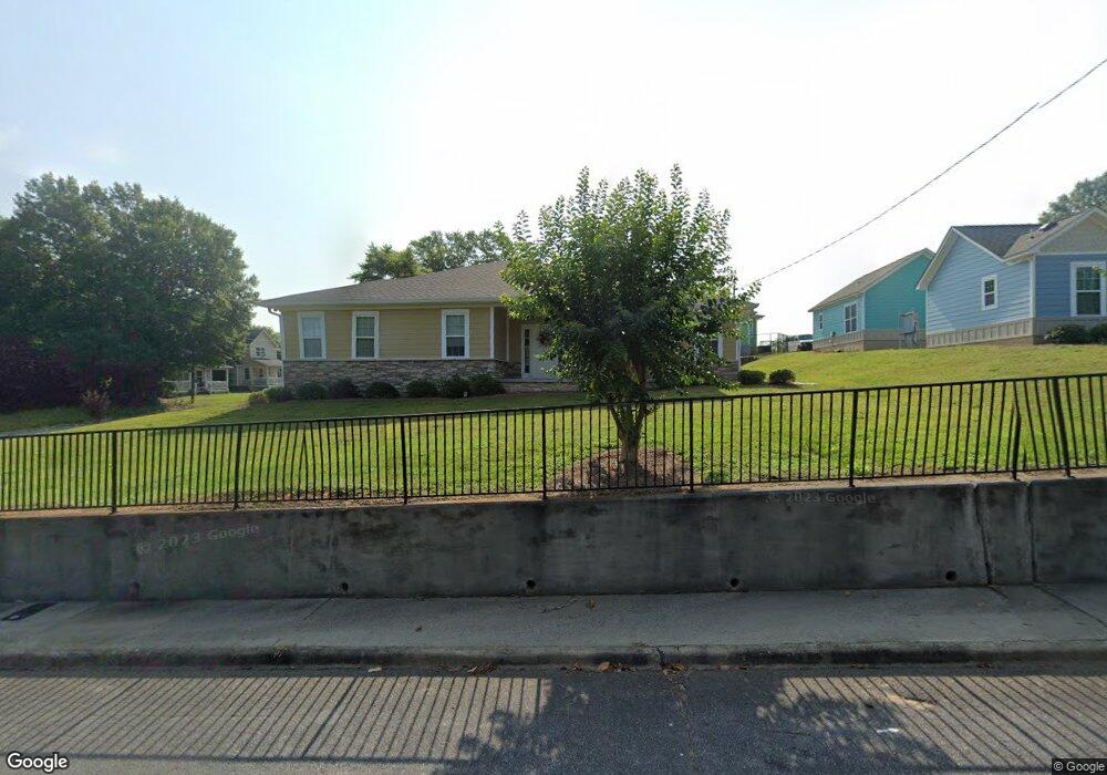
995 Maynard St Macon, GA 31217
Fort Hill Historic District NeighborhoodEstimated Value: $86,000 - $207,329
4
Beds
2
Baths
2,100
Sq Ft
$74/Sq Ft
Est. Value
About This Home
This home is located at 995 Maynard St, Macon, GA 31217 and is currently estimated at $154,776, approximately $73 per square foot. 995 Maynard St is a home located in Bibb County with nearby schools including Burdell Elementary School, Appling Middle School, and Northeast High School.
Ownership History
Date
Name
Owned For
Owner Type
Purchase Details
Closed on
Mar 7, 2014
Sold by
Georgia Behavioral Health Services Inc
Bought by
Georgia Disability Possibilites Inc
Current Estimated Value
Purchase Details
Closed on
Dec 4, 2013
Sold by
Ralphie Properties Llc
Bought by
Georgia Behavioral Health Services
Purchase Details
Closed on
Mar 8, 2013
Sold by
Hardeman Ruth R
Bought by
Ralpie Properties Llc
Purchase Details
Closed on
May 13, 1970
Sold by
William Gardiner Hardeman By Extrx
Bought by
Hardeman Ruth R
Create a Home Valuation Report for This Property
The Home Valuation Report is an in-depth analysis detailing your home's value as well as a comparison with similar homes in the area
Home Values in the Area
Average Home Value in this Area
Purchase History
| Date | Buyer | Sale Price | Title Company |
|---|---|---|---|
| Georgia Disability Possibilites Inc | -- | None Available | |
| Georgia Behavioral Health Services | -- | None Available | |
| Ralpie Properties Llc | -- | -- | |
| Hardeman Ruth R | -- | -- |
Source: Public Records
Tax History Compared to Growth
Tax History
| Year | Tax Paid | Tax Assessment Tax Assessment Total Assessment is a certain percentage of the fair market value that is determined by local assessors to be the total taxable value of land and additions on the property. | Land | Improvement |
|---|---|---|---|---|
| 2025 | $2,215 | $90,123 | $3,674 | $86,449 |
| 2024 | $2,068 | $81,428 | $3,624 | $77,804 |
| 2023 | $2,034 | $80,104 | $2,300 | $77,804 |
| 2022 | $1,717 | $49,593 | $4,844 | $44,749 |
| 2021 | $1,284 | $33,780 | $1,816 | $31,964 |
| 2020 | $1,187 | $30,583 | $1,816 | $28,767 |
| 2019 | $1,072 | $27,387 | $1,816 | $25,571 |
| 2018 | $1,988 | $27,158 | $1,587 | $25,571 |
| 2017 | $1,018 | $27,158 | $1,587 | $25,571 |
| 2016 | $940 | $27,158 | $1,587 | $25,571 |
| 2015 | $401 | $8,183 | $2,793 | $5,390 |
| 2014 | $708 | $12,578 | $2,979 | $9,599 |
Source: Public Records
Map
Nearby Homes
- 751 Mitchell St
- 725 Schaeffer Place
- 722 Mitchell St
- 857 Mitchell St
- 972 Norris St
- 774 Maynard St
- 760 Cowan St
- 845 Norris St
- 768 Maynard St
- 658 Pringle St
- 735 Maynard St
- 734 Fort Hill St
- 1024 Clarks Ln
- 970 Center St
- 990 Center St
- 866 Stewart St
- 856 Center St
- 808 Center St
- 1392 Fort Hill St
- 661 Coleman Ln
- 971 Maynard St
- 984 Maynard St
- 945 Maynard St
- 972 Maynard St
- 840 Mitchell St
- 715 Schaeffer Place
- 960 Maynard St
- 846 Mitchell St
- 937 Maynard St
- 1015 Maynard St
- 942 Maynard St
- 850 Mitchell St
- 1016 Maynard St
- 925 Maynard St
- 750 Mitchell St
- 947 Schaeffer Place
- 860 Mitchell St
- 1020 Maynard St
- 1042 Mitchell St
- 1032 Mitchell St