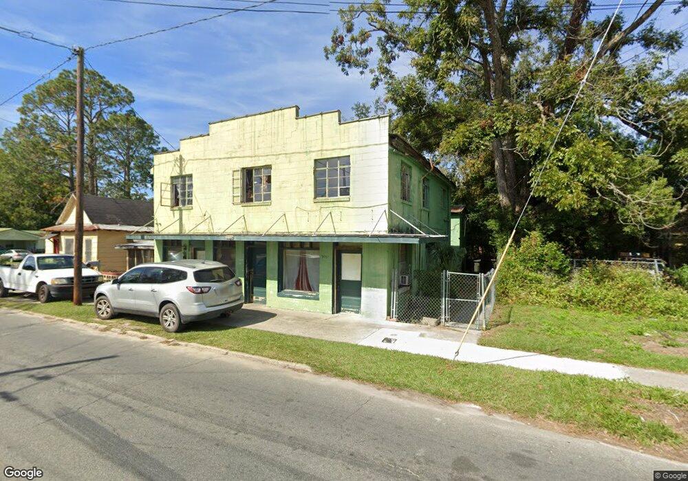
995 McDonald St Waycross, GA 31501
Estimated Value: $51,000 - $115,000
2
Beds
1
Bath
330
Sq Ft
$216/Sq Ft
Est. Value
About This Home
This home is located at 995 McDonald St, Waycross, GA 31501 and is currently estimated at $71,246, approximately $215 per square foot. 995 McDonald St is a home located in Ware County with nearby schools including Wacona Elementary School, Ware County Middle School, and Ware County High School.
Ownership History
Date
Name
Owned For
Owner Type
Purchase Details
Closed on
Jul 1, 2016
Sold by
William L
Bought by
Release Associates Inc
Current Estimated Value
Home Financials for this Owner
Home Financials are based on the most recent Mortgage that was taken out on this home.
Original Mortgage
$18,000
Interest Rate
3.66%
Mortgage Type
New Conventional
Purchase Details
Closed on
Jul 1, 2011
Sold by
Halman William L
Bought by
Halman William L and Pope Elizabeth D
Purchase Details
Closed on
Aug 27, 2007
Sold by
Halman William
Bought by
Halman William
Create a Home Valuation Report for This Property
The Home Valuation Report is an in-depth analysis detailing your home's value as well as a comparison with similar homes in the area
Home Values in the Area
Average Home Value in this Area
Purchase History
| Date | Buyer | Sale Price | Title Company |
|---|---|---|---|
| Release Associates Inc | $20,000 | -- | |
| Halman William L | -- | -- | |
| Halman William | -- | -- |
Source: Public Records
Mortgage History
| Date | Status | Borrower | Loan Amount |
|---|---|---|---|
| Closed | Release Associates Inc | $18,000 |
Source: Public Records
Tax History Compared to Growth
Tax History
| Year | Tax Paid | Tax Assessment Tax Assessment Total Assessment is a certain percentage of the fair market value that is determined by local assessors to be the total taxable value of land and additions on the property. | Land | Improvement |
|---|---|---|---|---|
| 2024 | $707 | $20,112 | $720 | $19,392 |
| 2023 | $694 | $17,089 | $262 | $16,827 |
| 2022 | $681 | $17,089 | $262 | $16,827 |
| 2021 | $563 | $13,022 | $262 | $12,760 |
| 2020 | $557 | $12,774 | $262 | $12,512 |
| 2019 | $559 | $12,650 | $262 | $12,388 |
| 2018 | $549 | $12,298 | $262 | $12,036 |
| 2017 | $536 | $12,298 | $262 | $12,036 |
| 2016 | $536 | $12,298 | $262 | $12,036 |
| 2015 | $540 | $12,297 | $262 | $12,036 |
| 2014 | $599 | $13,651 | $262 | $13,389 |
| 2013 | -- | $13,650 | $261 | $13,389 |
Source: Public Records
Map
Nearby Homes
- 812 Effie St
- 1027 Robert St
- 629 Remshart St
- 511 Riverside Dr
- 310 Butler St
- 1006 Roosevelt St
- 516 Folks St
- 1212 Martin Luther King Dr
- 301 Riverside Dr
- 1504 Habersham Dr
- 601 N Nicholls St
- 506 McDonald St
- 1405 Grove Ave
- 1003 Carswell Ave
- 505 N Nicholls St
- 605 Walker St
- 503 N Nicholls St
- 1219 Clough St
- 00 Roosevelt St
- 803 Elizabeth St
- 993 McDonald St
- 806 Effie St
- 827 State St
- 979 McDonald St
- 807 Effie St
- 809 Effie St
- 990 McDonald St
- 822 Effie St
- 802 Jones St
- 804 Jones St
- 770 Ossie Davis Pkwy
- 850 Ossie Davis Pkwy
- 808 Jones St
- 770 Ossie Davis Pkwy
- 970 McDonald
- 814 Jones St
- 1023 McDonald St
- 811 Pittman St
- 885 State St
- 727 Pittman St