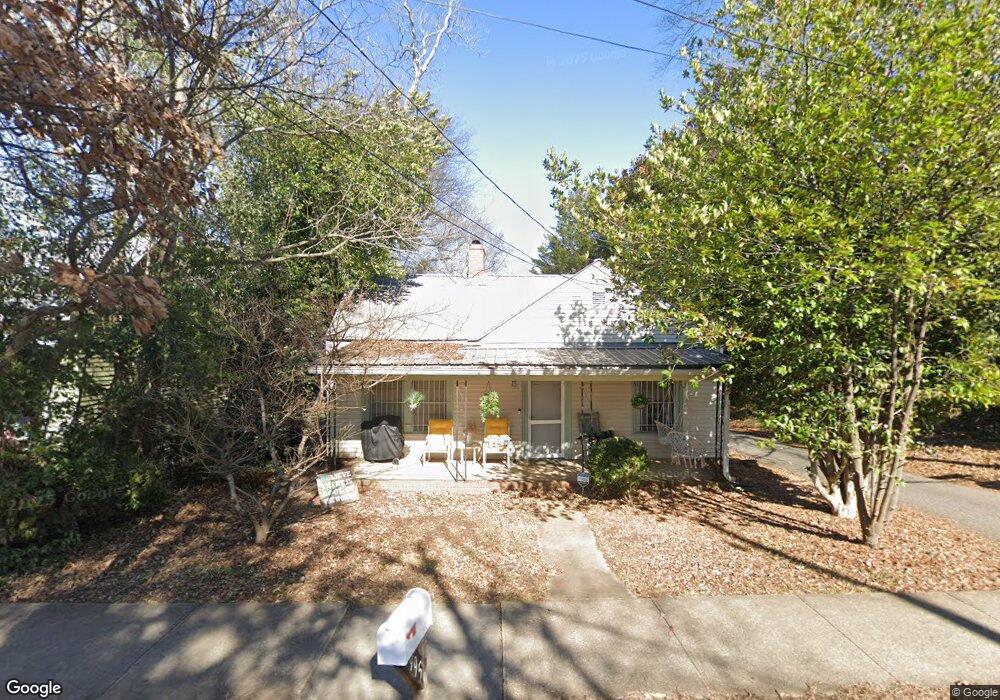
995 Oconee St Athens, GA 30605
Carrs Hill NeighborhoodEstimated Value: $264,455 - $294,000
--
Bed
--
Bath
1,123
Sq Ft
$254/Sq Ft
Est. Value
About This Home
This home is located at 995 Oconee St, Athens, GA 30605 and is currently estimated at $284,864, approximately $253 per square foot. 995 Oconee St is a home located in Clarke County with nearby schools including Gaines Elementary School, Hilsman Middle School, and Cedar Shoals High School.
Ownership History
Date
Name
Owned For
Owner Type
Purchase Details
Closed on
Mar 17, 2022
Sold by
Moody Michael T
Bought by
Witcher Wing Llc
Current Estimated Value
Purchase Details
Closed on
Aug 20, 2014
Sold by
Moody Michael T
Bought by
Moody Michael T and Moody Christie Stratton
Purchase Details
Closed on
Sep 2, 1998
Sold by
Dekle Drew
Bought by
Moody Michael T
Purchase Details
Closed on
Jun 19, 1998
Sold by
Johnson Elaine L and Johnson Bruce L
Bought by
Dekle Drew
Create a Home Valuation Report for This Property
The Home Valuation Report is an in-depth analysis detailing your home's value as well as a comparison with similar homes in the area
Home Values in the Area
Average Home Value in this Area
Purchase History
| Date | Buyer | Sale Price | Title Company |
|---|---|---|---|
| Witcher Wing Llc | -- | -- | |
| Moody Michael T | -- | -- | |
| Moody Michael T | $63,000 | -- | |
| Dekle Drew | $57,500 | -- |
Source: Public Records
Tax History Compared to Growth
Tax History
| Year | Tax Paid | Tax Assessment Tax Assessment Total Assessment is a certain percentage of the fair market value that is determined by local assessors to be the total taxable value of land and additions on the property. | Land | Improvement |
|---|---|---|---|---|
| 2025 | $3,179 | $102,397 | $22,000 | $80,397 |
| 2024 | $3,179 | $89,202 | $22,000 | $67,202 |
| 2023 | $2,788 | $77,616 | $16,000 | $61,616 |
| 2022 | $2,060 | $64,573 | $14,000 | $50,573 |
| 2021 | $1,771 | $52,553 | $12,000 | $40,553 |
| 2020 | $1,579 | $46,846 | $12,000 | $34,846 |
| 2019 | $1,555 | $45,794 | $12,000 | $33,794 |
| 2018 | $1,458 | $42,940 | $12,000 | $30,940 |
| 2017 | $1,376 | $40,537 | $12,000 | $28,537 |
| 2016 | $1,244 | $36,632 | $12,000 | $24,632 |
| 2015 | $1,230 | $36,181 | $12,000 | $24,181 |
| 2014 | $1,181 | $34,680 | $12,000 | $22,680 |
Source: Public Records
Map
Nearby Homes
- 250 Little St Unit A105
- 250 Little St Unit A209
- 250 Little St Unit A 105
- 250 Little St Unit D205
- 250 Little St Unit D205
- 210 Appleby Dr Unit 225
- 210 Appleby Dr Unit 208
- 210 Appleby Dr Unit 211
- 290 Appleby Dr Unit 268
- 357 S Peter St
- 225 Oak St Unit LOT 103
- 225 Oak St Unit 104
- 225 Oak St Unit 108
- 170 Royal Ct
- 704 Branch St
- 1480 E Broad St
- 126 S Poplar St
- 190 Derby St
- 132 N Poplar St