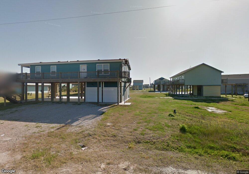
995 S Redfish Unit "A FLOOD ZONE" Most Port Bolivar, TX 77650
Crystal Beach NeighborhoodEstimated Value: $443,000 - $551,000
3
Beds
3
Baths
1,620
Sq Ft
$299/Sq Ft
Est. Value
About This Home
This home is located at 995 S Redfish Unit "A FLOOD ZONE" Most, Port Bolivar, TX 77650 and is currently estimated at $483,832, approximately $298 per square foot. 995 S Redfish Unit "A FLOOD ZONE" Most is a home located in Galveston County with nearby schools including Morgan Elementary Magnet School, Burnet STREAM Magnet School, and Parker Elementary School.
Ownership History
Date
Name
Owned For
Owner Type
Purchase Details
Closed on
May 21, 2018
Sold by
Curtice Steven Michael
Bought by
Chauvin Alvin K and Chauvin Karen
Current Estimated Value
Home Financials for this Owner
Home Financials are based on the most recent Mortgage that was taken out on this home.
Original Mortgage
$220,000
Outstanding Balance
$189,427
Interest Rate
4.4%
Mortgage Type
VA
Estimated Equity
$294,405
Create a Home Valuation Report for This Property
The Home Valuation Report is an in-depth analysis detailing your home's value as well as a comparison with similar homes in the area
Home Values in the Area
Average Home Value in this Area
Purchase History
| Date | Buyer | Sale Price | Title Company |
|---|---|---|---|
| Chauvin Alvin K | -- | South Land Title Llc |
Source: Public Records
Mortgage History
| Date | Status | Borrower | Loan Amount |
|---|---|---|---|
| Open | Chauvin Alvin K | $220,000 |
Source: Public Records
Tax History Compared to Growth
Tax History
| Year | Tax Paid | Tax Assessment Tax Assessment Total Assessment is a certain percentage of the fair market value that is determined by local assessors to be the total taxable value of land and additions on the property. | Land | Improvement |
|---|---|---|---|---|
| 2025 | $5,546 | $412,000 | $98,700 | $313,300 |
| 2024 | $5,546 | $409,000 | $98,700 | $310,300 |
| 2023 | $5,546 | $415,000 | $27,540 | $387,460 |
| 2022 | $5,672 | $352,000 | $27,540 | $324,460 |
| 2021 | $5,387 | $308,800 | $27,540 | $281,260 |
| 2020 | $5,340 | $287,710 | $27,540 | $260,170 |
| 2019 | $4,741 | $243,670 | $27,540 | $216,130 |
| 2018 | $5,584 | $285,330 | $27,540 | $257,790 |
| 2017 | $5,434 | $285,330 | $27,540 | $257,790 |
| 2016 | $4,940 | $285,350 | $27,540 | $257,810 |
| 2015 | $1,634 | $269,230 | $27,540 | $241,690 |
| 2014 | $1,733 | $208,710 | $18,000 | $190,710 |
Source: Public Records
Map
Nearby Homes
- 997 S Redfish
- 999 S Redfish
- 982 S Redfish St
- 972 S Redfish
- 976 Nassau Dr
- 1001 S Stingaree Dr
- 989 Biscayne
- 956 Biscayne Dr
- 975 Fisherman Dr S
- 975 S Cove Dr
- 970 S Redfish
- 983 S Redfish St
- 976 Bahama Dr
- 972 Bahama Dr
- abst 65 B franks sur S Stingaree Dr
- 1012 S Stingaree Dr
- 984 S Stingaree Dr
- 2895 Laguna Dr
- 981 S Gateway Rd
- 942 Palm Ridge Dr
- 995 S Redfish
- 995 N Redfish St
- LOT 5-6 S Redfish
- 994 Nassau Dr Unit 64 &1/2 63
- 994 Nassau Dr
- 986 Nassau Dr Unit 62&1/2 63&
- 986 Nassau Dr
- 993 1/2 S Redfish St
- 986 Nassau Ln
- 2998 Hwy 87
- 2950 Hwy 87
- 994 Nassau Dr
- 982 Nassau Dr
- 980 Nassau Dr
- 997 Nassau Dr
- 988 S Redfish St
- 988 S Redfish
- 984 Redfish St S
- 985 Nassau Dr
- 978 Nassau Dr Unit 58