995 State Hwy Eastham, MA 02642
Estimated Value: $460,000 - $538,000
2
Beds
1
Bath
720
Sq Ft
$682/Sq Ft
Est. Value
About This Home
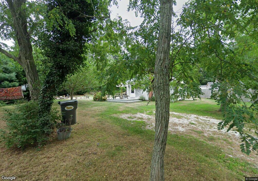
This home is located at 995 State Hwy, Eastham, MA 02642 and is currently estimated at $490,990, approximately $681 per square foot. 995 State Hwy is a home located in Barnstable County with nearby schools including Eastham Elementary School, Nauset Regional Middle School, and Nauset Regional High School.
Ownership History
Date
Name
Owned For
Owner Type
Purchase Details
Closed on
Nov 8, 2004
Sold by
Deane Kimberley A
Bought by
Deane Kimberley A and Deane Mark E
Current Estimated Value
Home Financials for this Owner
Home Financials are based on the most recent Mortgage that was taken out on this home.
Original Mortgage
$221,300
Outstanding Balance
$109,920
Interest Rate
5.71%
Mortgage Type
Purchase Money Mortgage
Estimated Equity
$381,070
Purchase Details
Closed on
Sep 2, 2003
Sold by
Daugherty Stephen C and Daugherty Janet L
Bought by
Deane Mark E and Deane Kimberly A
Home Financials for this Owner
Home Financials are based on the most recent Mortgage that was taken out on this home.
Original Mortgage
$136,000
Interest Rate
5.69%
Mortgage Type
Purchase Money Mortgage
Purchase Details
Closed on
May 14, 1999
Sold by
Intonti Donald F
Bought by
Daugherty Stephen C and Daugherty Janet L
Create a Home Valuation Report for This Property
The Home Valuation Report is an in-depth analysis detailing your home's value as well as a comparison with similar homes in the area
Home Values in the Area
Average Home Value in this Area
Purchase History
| Date | Buyer | Sale Price | Title Company |
|---|---|---|---|
| Deane Kimberley A | -- | -- | |
| Deane Mark E | $170,000 | -- | |
| Daugherty Stephen C | $120,000 | -- |
Source: Public Records
Mortgage History
| Date | Status | Borrower | Loan Amount |
|---|---|---|---|
| Open | Deane Kimberley A | $221,300 | |
| Previous Owner | Daugherty Stephen C | $54,000 | |
| Previous Owner | Daugherty Stephen C | $136,000 | |
| Previous Owner | Daugherty Stephen C | $34,000 |
Source: Public Records
Tax History Compared to Growth
Tax History
| Year | Tax Paid | Tax Assessment Tax Assessment Total Assessment is a certain percentage of the fair market value that is determined by local assessors to be the total taxable value of land and additions on the property. | Land | Improvement |
|---|---|---|---|---|
| 2025 | $2,526 | $327,600 | $184,500 | $143,100 |
| 2024 | $2,233 | $318,600 | $179,100 | $139,500 |
| 2023 | $2,057 | $284,100 | $165,800 | $118,300 |
| 2022 | $1,966 | $229,100 | $148,100 | $81,000 |
| 2021 | $1,920 | $209,100 | $134,600 | $74,500 |
| 2020 | $1,812 | $207,800 | $137,400 | $70,400 |
| 2019 | $0 | $202,000 | $133,400 | $68,600 |
| 2018 | $1,622 | $194,200 | $129,500 | $64,700 |
| 2017 | $1,420 | $179,800 | $126,900 | $52,900 |
| 2016 | $1,736 | $233,300 | $181,300 | $52,000 |
| 2015 | $1,622 | $228,400 | $177,800 | $50,600 |
Source: Public Records
Map
Nearby Homes
- 993 Intonti Way
- 995 Intonti Way
- 1061 State Hwy Unit 4
- 785 State Hwy Unit 9
- 20 Kittiwake Ln
- 25 Twin Rocks Dr
- 30 Cove Rd
- 330 Hay Rd
- 60 Smith Heights Way
- 20 White Pines Dr
- 6 Snow Way
- 320 State Hwy
- 46 Freeman Ln
- 180 Country Ln
- 1875 State Hwy
- 150 Old State Hwy Unit Compound
- 1975 State Hwy Unit 3
- 1975 State Hwy Unit 5
- 3 Bramblewood Ln
- 385 Bridge Rd
- 1079 State Hwy
- 1079 State Hwy Unit 14
- 1055 Mid-Cape Hwy Unit 1&2
- 985 Intonti Way
- 983 Intonti Way
- 975 Intonti Way
- 963 Intonti Way
- 965 Intonti Way
- 973 Intonti Way
- 1061 Mid-Cape Hwy Unit 4
- 20 Eastwind Dr
- 973R State Hwy Unit 973
- 1075 State Hwy
- 1075 State Hwy Unit 11
- 973 State Hwy Unit 3
- 973 State Hwy Unit C & D
- 973 State Hwy
- 985 State Hwy Unit 2
- 985 State Hwy Unit B
- 985 State Hwy