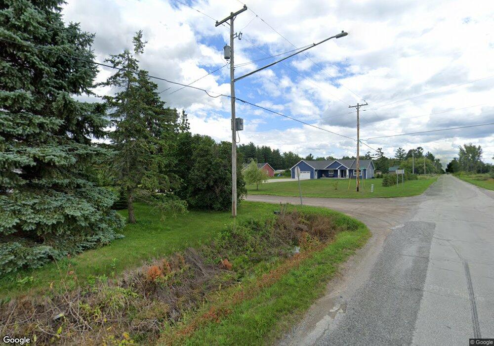
9955 Laduke Rd Freeland, MI 48623
Estimated Value: $449,308 - $507,000
3
Beds
3
Baths
1,996
Sq Ft
$239/Sq Ft
Est. Value
About This Home
This home is located at 9955 Laduke Rd, Freeland, MI 48623 and is currently estimated at $476,827, approximately $238 per square foot. 9955 Laduke Rd is a home located in Saginaw County with nearby schools including Freeland Learning Center, Freeland Elementary School, and Freeland Middle/High School.
Ownership History
Date
Name
Owned For
Owner Type
Purchase Details
Closed on
Jul 30, 2021
Sold by
Mulvaney Brandon and Mulvaney Shari
Bought by
Dotson A Marle A and Dotson Kurtis
Current Estimated Value
Purchase Details
Closed on
Nov 8, 2016
Sold by
Smillie Michael P
Bought by
Mulvaney Brandon and Mulvaney Shari
Home Financials for this Owner
Home Financials are based on the most recent Mortgage that was taken out on this home.
Original Mortgage
$186,200
Interest Rate
3.47%
Mortgage Type
New Conventional
Create a Home Valuation Report for This Property
The Home Valuation Report is an in-depth analysis detailing your home's value as well as a comparison with similar homes in the area
Purchase History
| Date | Buyer | Sale Price | Title Company |
|---|---|---|---|
| Dotson A Marle A | $319,000 | Title Resource Agency | |
| Mulvaney Brandon | $196,000 | Saginaw Bay Area Title Agenc |
Source: Public Records
Mortgage History
| Date | Status | Borrower | Loan Amount |
|---|---|---|---|
| Previous Owner | Mulvaney Brandon | $186,200 |
Source: Public Records
Tax History
| Year | Tax Paid | Tax Assessment Tax Assessment Total Assessment is a certain percentage of the fair market value that is determined by local assessors to be the total taxable value of land and additions on the property. | Land | Improvement |
|---|---|---|---|---|
| 2025 | $1,825 | $218,100 | $0 | $0 |
| 2024 | $1,770 | $191,300 | $0 | $0 |
| 2023 | $1,685 | $165,900 | $0 | $0 |
| 2022 | $4,935 | $146,500 | $0 | $0 |
| 2021 | $3,920 | $133,300 | $0 | $0 |
| 2020 | $3,616 | $124,300 | $0 | $0 |
| 2019 | $3,522 | $122,000 | $0 | $0 |
| 2018 | $1,271 | $115,900 | $0 | $0 |
| 2017 | $3,169 | $115,300 | $0 | $0 |
| 2016 | $78 | $7,800 | $0 | $0 |
Source: Public Records
Map
Nearby Homes
- 10224 Sarle Rd
- 10585 Prairie View Ct
- 9924 Garner Ln
- 8674 Oakhill Dr
- 10138 Scott Rd
- 8657 Foxtail Trail
- 8535 Summer Ridge Dr
- 8426 Waxwing Dr
- 8442 Oakhill Dr
- 8884 Copper Ct
- 8314 Goldfinch Dr
- 8483 N River Rock River Rock Unit 8487
- 8981 Highland Dr
- 10123 Hawk Dr
- 9160 Brook Hollow Ln
- 226 S 7th St
- 10832 Carter Rd
- 315 S 2nd St
- 611 E Dawn Dr
- 5749 11 Mile Rd
- 9955 Laduke Rd
- 9929 Laduke Rd
- 9989 Laduke Rd
- 9530 Webster Rd
- V/L Webster
- 9893 Laduke Rd
- 9393 Webster Rd
- 9446 Webster Rd
- 9924 Laduke Rd
- 9396 Webster Rd
- 9390 Webster Rd
- 9879 Laduke Rd
- 9445 Webster Rd
- 9533 Webster Rd
- 9849 Laduke Rd
- 9856 Laduke Rd
- 9340 Webster Rd
- 9602 Webster Rd
- 9328 Webster Rd
- 9575 Webster Rd
Your Personal Tour Guide
Ask me questions while you tour the home.