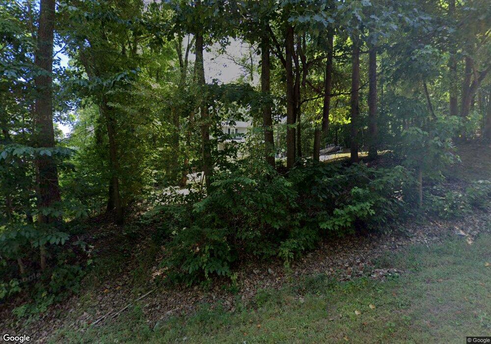
996 Freedom Trail Asheboro, NC 27205
Estimated Value: $191,402 - $268,000
--
Bed
2
Baths
1,248
Sq Ft
$192/Sq Ft
Est. Value
About This Home
This home is located at 996 Freedom Trail, Asheboro, NC 27205 and is currently estimated at $240,101, approximately $192 per square foot. 996 Freedom Trail is a home located in Randolph County with nearby schools including Sycamore Elementary School, Southmont Elementary School, and Southwestern Randolph Middle School.
Ownership History
Date
Name
Owned For
Owner Type
Purchase Details
Closed on
Jan 31, 1997
Bought by
Mesa Michael W Mesa Tammy R
Current Estimated Value
Purchase Details
Closed on
Feb 5, 1991
Bought by
Mesa Michael W Mesa Tammy R
Purchase Details
Closed on
Aug 16, 1990
Bought by
Mesa Michael W Mesa Tammy R
Purchase Details
Closed on
Jul 15, 1988
Bought by
Mesa Michael W Mesa Tammy R
Create a Home Valuation Report for This Property
The Home Valuation Report is an in-depth analysis detailing your home's value as well as a comparison with similar homes in the area
Home Values in the Area
Average Home Value in this Area
Purchase History
| Date | Buyer | Sale Price | Title Company |
|---|---|---|---|
| Mesa Michael W Mesa Tammy R | $75,000 | -- | |
| Mesa Michael W Mesa Tammy R | $47,900 | -- | |
| Mesa Michael W Mesa Tammy R | $43,900 | -- | |
| Mesa Michael W Mesa Tammy R | $6,000 | -- |
Source: Public Records
Tax History Compared to Growth
Tax History
| Year | Tax Paid | Tax Assessment Tax Assessment Total Assessment is a certain percentage of the fair market value that is determined by local assessors to be the total taxable value of land and additions on the property. | Land | Improvement |
|---|---|---|---|---|
| 2025 | $824 | $132,950 | $33,210 | $99,740 |
| 2024 | $824 | $132,950 | $33,210 | $99,740 |
| 2023 | $824 | $132,950 | $33,210 | $99,740 |
| 2022 | $689 | $91,490 | $20,010 | $71,480 |
| 2021 | $689 | $91,490 | $20,010 | $71,480 |
| 2020 | $661 | $91,490 | $20,010 | $71,480 |
| 2019 | $661 | $91,490 | $20,010 | $71,480 |
| 2018 | $658 | $88,560 | $17,030 | $71,530 |
| 2016 | $640 | $88,559 | $17,030 | $71,529 |
| 2015 | $642 | $88,559 | $17,030 | $71,529 |
| 2014 | -- | $88,559 | $17,030 | $71,529 |
Source: Public Records
Map
Nearby Homes
- 3828 Zoo Pkwy
- 916 S Creek Ct
- 2473 Zoo Pkwy
- 4263 Zoo Pkwy
- 947 Rockcliff Terrace
- 1201 Lindale Dr
- 897 Bray Blvd
- 3359 US Highway 220 Bus S
- 3359 U S 220 Business
- 888 Newbern Ave
- 0 Bray Blvd
- 248 CrooMcRest Rd
- 431 Newbern Ave
- 240 CrooMcRest Rd
- 353 Auman Ave
- 0 Sykes Farm Rd
- 261 Charles Ave
- 287 Eldorado Rd
- 228 Anchor Dr
- 424 Northampton Dr
- 0 Freedom Trail
- 1011 Freedom Trail
- 1026 Freedom Trail
- 1547 Liberty Circle Extension
- 1031 Freedom Trail
- 892 Freedom Trail
- Lot 1 Liberty Circle Extension
- 885 Freedom Trail
- 885 Liberty Cir
- 1605 Red Wolf Ln
- 1605 Staleys Farm Rd
- 0 Liberty Circle Extension
- 1573 Red Wolf Ln
- 890 Liberty Cir
- 1635 Staleys Farm Rd
- Lot 1 Liberty Cir
- 0 Liberty Cir
- 00 Staleys Farm Rd
- 00 Liberty Cir
- 1604 Staleys Farm Rd
