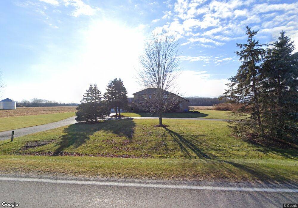
9961 Dolan Rd Columbus, MI 48063
Estimated Value: $567,000 - $758,000
--
Bed
1
Bath
3,747
Sq Ft
$167/Sq Ft
Est. Value
About This Home
This home is located at 9961 Dolan Rd, Columbus, MI 48063 and is currently estimated at $625,011, approximately $166 per square foot. 9961 Dolan Rd is a home located in St. Clair County with nearby schools including Will L. Lee School, Richmond Middle School, and Richmond Community High School.
Ownership History
Date
Name
Owned For
Owner Type
Purchase Details
Closed on
Aug 26, 2014
Sold by
Matich Kathryn M and Peace Kathryn M
Bought by
Peace Charles G and Peace Kathryn M
Current Estimated Value
Home Financials for this Owner
Home Financials are based on the most recent Mortgage that was taken out on this home.
Original Mortgage
$103,000
Interest Rate
4.15%
Mortgage Type
New Conventional
Create a Home Valuation Report for This Property
The Home Valuation Report is an in-depth analysis detailing your home's value as well as a comparison with similar homes in the area
Home Values in the Area
Average Home Value in this Area
Purchase History
| Date | Buyer | Sale Price | Title Company |
|---|---|---|---|
| Peace Charles G | -- | None Available |
Source: Public Records
Mortgage History
| Date | Status | Borrower | Loan Amount |
|---|---|---|---|
| Closed | Peace Charles G | $103,000 |
Source: Public Records
Tax History Compared to Growth
Tax History
| Year | Tax Paid | Tax Assessment Tax Assessment Total Assessment is a certain percentage of the fair market value that is determined by local assessors to be the total taxable value of land and additions on the property. | Land | Improvement |
|---|---|---|---|---|
| 2025 | $4,041 | $331,100 | $0 | $0 |
| 2024 | $2,535 | $291,000 | $0 | $0 |
| 2023 | $2,448 | $272,600 | $0 | $0 |
| 2022 | $3,687 | $243,500 | $0 | $0 |
| 2021 | $3,403 | $221,000 | $0 | $0 |
| 2020 | $3,403 | $210,600 | $210,600 | $0 |
| 2019 | $2,965 | $199,600 | $0 | $0 |
| 2018 | $2,919 | $189,100 | $0 | $0 |
| 2017 | $2,507 | $184,700 | $0 | $0 |
| 2016 | $2,931 | $184,700 | $0 | $0 |
| 2015 | -- | $146,400 | $146,400 | $0 |
| 2014 | -- | $145,300 | $145,300 | $0 |
| 2013 | -- | $104,100 | $0 | $0 |
Source: Public Records
Map
Nearby Homes
- 0 Bauman Rd Unit 50090600
- 575 Stoddard Rd
- 370 Wales Ridge Rd
- 0 00 Weber Rd 4001-100 Parcel 11 Rd
- 0 00 Weber Rd 4001 - 090 Parcel 10 Rd
- 0 00 Weber Rd 4001 - 080 Parcel 9 Rd
- 0 00 Weber Rd 4001-001 Parcel 1 Rd Unit 50159551
- 00 Weber Rd
- 0 00 Kroner 4001 - 020 Parcel 3 Rd Unit 50159555
- 00 Kroner Rd 4001 - 010 Parcel 2 Roads
- 00-D Wales Ridge Rd
- 0 00 Kroner Rd 4001 - 040 Parcel 5 Rd Unit 50159557
- 9227 Yager Rd
- 0 00 Kroner Rd 4001 - 060 Parcel 7 Rd Unit 50159560
- 0 00 Meskill Rd 4001 - 070 Parcel 8 & 1001-000 Rd Unit 50159561
- 9224 Weber Rd
- 35356 Potter St
- 0000 Wales Center Rd
- 00 Memphis Ridge Rd
- 9777 Lambs Rd