9969 N 600 W Decatur, IN 46733
Estimated Value: $374,000 - $554,446
4
Beds
2
Baths
2,936
Sq Ft
$155/Sq Ft
Est. Value
About This Home
This home is located at 9969 N 600 W, Decatur, IN 46733 and is currently estimated at $456,149, approximately $155 per square foot. 9969 N 600 W is a home located in Adams County with nearby schools including Southeast Elementary School, Bellmont Elementary School, and Bellmont Middle School.
Create a Home Valuation Report for This Property
The Home Valuation Report is an in-depth analysis detailing your home's value as well as a comparison with similar homes in the area
Home Values in the Area
Average Home Value in this Area
Tax History Compared to Growth
Tax History
| Year | Tax Paid | Tax Assessment Tax Assessment Total Assessment is a certain percentage of the fair market value that is determined by local assessors to be the total taxable value of land and additions on the property. | Land | Improvement |
|---|---|---|---|---|
| 2024 | $4,944 | $402,500 | $177,800 | $224,700 |
| 2023 | $4,690 | $363,300 | $152,500 | $210,800 |
| 2022 | $3,991 | $326,700 | $125,700 | $201,000 |
| 2021 | $3,629 | $292,100 | $109,300 | $182,800 |
| 2020 | $3,483 | $285,000 | $108,700 | $176,300 |
| 2019 | $3,509 | $290,600 | $127,400 | $163,200 |
| 2018 | $3,739 | $288,600 | $130,800 | $157,800 |
| 2017 | $3,992 | $302,200 | $145,900 | $156,300 |
| 2016 | $3,953 | $307,300 | $153,200 | $154,100 |
| 2014 | $3,669 | $306,400 | $159,300 | $147,100 |
| 2013 | $3,761 | $286,700 | $139,800 | $146,900 |
Source: Public Records
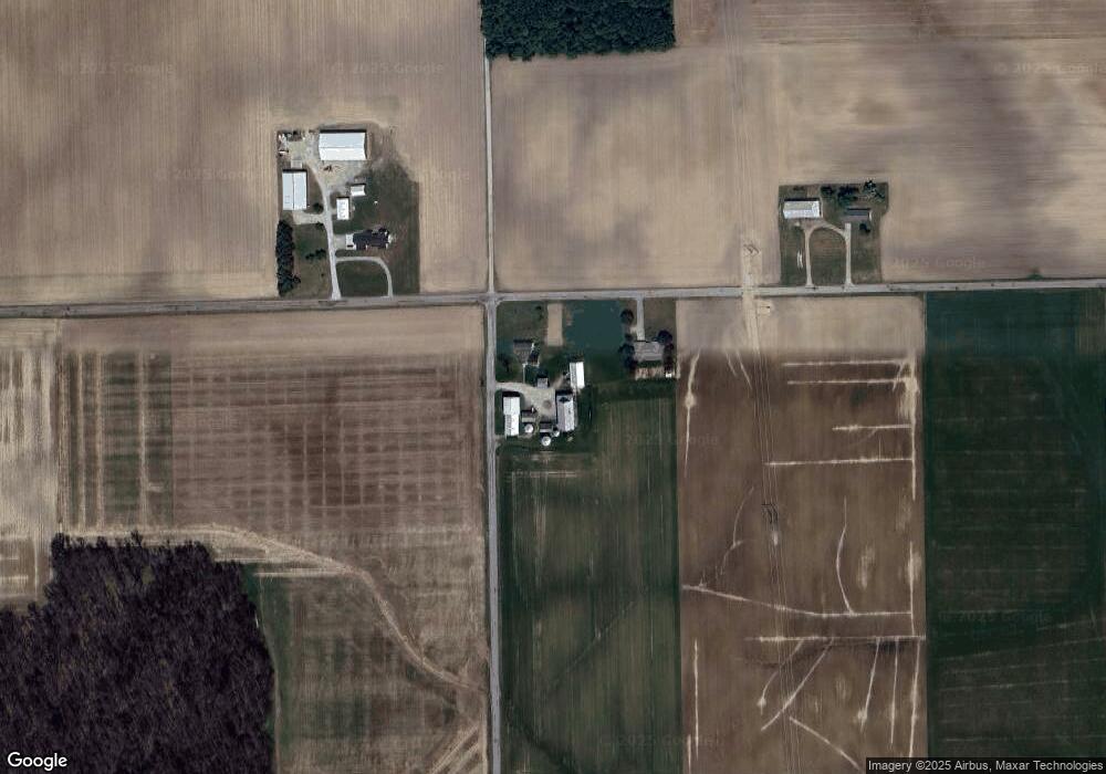
Map
Nearby Homes
- 11063 N 700 E
- 16205 Winchester Rd
- 7805 N 600 E
- 5933 Hoagland Rd
- 6010 N 600 W
- 5144 E 1200 N-90 Unit 90
- 8618 Hoagland Rd
- 3803 U S 224
- 6068 N West St
- 10225 N 100 W
- 10975 English St
- 3703 E 1000 N
- 11040 English St
- 305 Piper Ct
- 3667 E 1000 N
- Harmony Plan at Crosswind Lakes
- Chatham Plan at Crosswind Lakes
- 406 Piper Ct
- 410 Piper Ct
- 4035 E 800 N