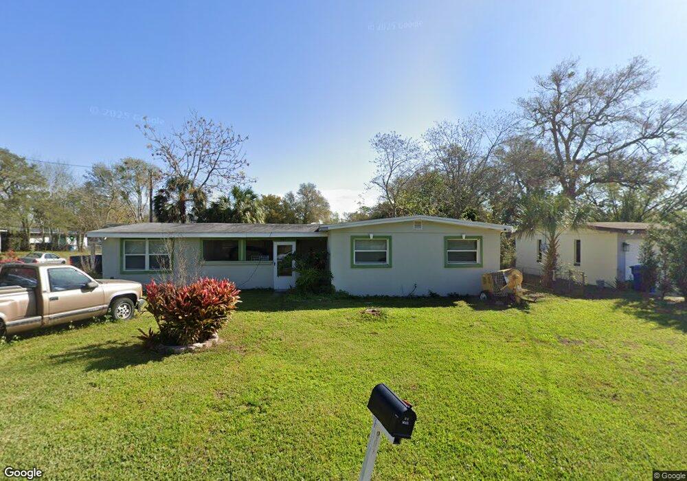
997 Bobbie Lee Dr Daytona Beach, FL 32117
Neighborhood K NeighborhoodEstimated Value: $170,377 - $230,000
3
Beds
2
Baths
1,317
Sq Ft
$150/Sq Ft
Est. Value
About This Home
This home is located at 997 Bobbie Lee Dr, Daytona Beach, FL 32117 and is currently estimated at $198,094, approximately $150 per square foot. 997 Bobbie Lee Dr is a home located in Volusia County with nearby schools including Westside Elementary School, Campbell Middle School, and Mainland High School.
Ownership History
Date
Name
Owned For
Owner Type
Purchase Details
Closed on
Jan 28, 2005
Sold by
Mottern Virginia Ann and Marzinko Virginia B
Bought by
Taylor Chesalon C and Taylor Nicole
Current Estimated Value
Home Financials for this Owner
Home Financials are based on the most recent Mortgage that was taken out on this home.
Original Mortgage
$106,000
Outstanding Balance
$53,559
Interest Rate
5.66%
Mortgage Type
Purchase Money Mortgage
Estimated Equity
$144,535
Create a Home Valuation Report for This Property
The Home Valuation Report is an in-depth analysis detailing your home's value as well as a comparison with similar homes in the area
Home Values in the Area
Average Home Value in this Area
Purchase History
| Date | Buyer | Sale Price | Title Company |
|---|---|---|---|
| Taylor Chesalon C | $112,000 | Southern Title Hldg Co Llc |
Source: Public Records
Mortgage History
| Date | Status | Borrower | Loan Amount |
|---|---|---|---|
| Open | Taylor Chesalon C | $106,000 |
Source: Public Records
Tax History Compared to Growth
Tax History
| Year | Tax Paid | Tax Assessment Tax Assessment Total Assessment is a certain percentage of the fair market value that is determined by local assessors to be the total taxable value of land and additions on the property. | Land | Improvement |
|---|---|---|---|---|
| 2025 | $844 | $56,906 | -- | -- |
| 2024 | $844 | $55,303 | -- | -- |
| 2023 | $844 | $53,693 | $0 | $0 |
| 2022 | $818 | $52,129 | $0 | $0 |
| 2021 | $840 | $50,611 | $0 | $0 |
| 2020 | $827 | $49,912 | $0 | $0 |
| 2019 | $813 | $48,790 | $0 | $0 |
| 2018 | $789 | $47,880 | $0 | $0 |
| 2017 | $755 | $46,895 | $0 | $0 |
| 2016 | $731 | $45,930 | $0 | $0 |
| 2015 | $739 | $45,611 | $0 | $0 |
| 2014 | $798 | $48,679 | $0 | $0 |
Source: Public Records
Map
Nearby Homes
- 1290 9th St Unit 604
- 1290 9th St Unit 507
- 1233 Linda Ln
- 1224 10th St
- 1201 10th St
- 9 Stuart Dr
- 1219 David Dr
- 1195 10th St
- 1480 Vine St
- 0 8th St Unit MFRV4944143
- 0 8th St Unit 1216500
- 0000 8th St
- 00 8th St
- 911 Shady Park Terrace
- 0 Derbyshire Rd
- 10th Derbyshire Rd
- 841 W Colonial Cir
- 1231 Leon Ln
- 1212 Leon Ln
- 813 W Colonial Cir