997 County Road 1111 Decatur, TX 76234
Estimated Value: $619,046 - $900,000
3
Beds
3
Baths
3,048
Sq Ft
$251/Sq Ft
Est. Value
About This Home
This home is located at 997 County Road 1111, Decatur, TX 76234 and is currently estimated at $764,012, approximately $250 per square foot. 997 County Road 1111 is a home located in Wise County with nearby schools including Decatur High School.
Ownership History
Date
Name
Owned For
Owner Type
Purchase Details
Closed on
Jun 25, 2025
Sold by
J Wesley And Felicia M Putnam Revocable and Putnam James Wesley
Bought by
Putnam James Wesley and Putnam Felicia Ann
Current Estimated Value
Purchase Details
Closed on
Aug 13, 2019
Sold by
White Douglas D and White Margaret L
Bought by
Putnam James Wesley and Putnam Felicia Ann
Home Financials for this Owner
Home Financials are based on the most recent Mortgage that was taken out on this home.
Original Mortgage
$362,218
Interest Rate
3.73%
Mortgage Type
New Conventional
Create a Home Valuation Report for This Property
The Home Valuation Report is an in-depth analysis detailing your home's value as well as a comparison with similar homes in the area
Home Values in the Area
Average Home Value in this Area
Purchase History
| Date | Buyer | Sale Price | Title Company |
|---|---|---|---|
| Putnam James Wesley | -- | None Listed On Document | |
| Putnam James Wesley | -- | Title Resource |
Source: Public Records
Mortgage History
| Date | Status | Borrower | Loan Amount |
|---|---|---|---|
| Previous Owner | Putnam James Wesley | $362,218 |
Source: Public Records
Tax History Compared to Growth
Tax History
| Year | Tax Paid | Tax Assessment Tax Assessment Total Assessment is a certain percentage of the fair market value that is determined by local assessors to be the total taxable value of land and additions on the property. | Land | Improvement |
|---|---|---|---|---|
| 2025 | $5,400 | $443,363 | $33,256 | $410,107 |
| 2024 | $5,400 | $443,357 | $33,250 | $410,107 |
| 2023 | $5,410 | $447,811 | $0 | $0 |
| 2022 | $5,327 | $347,163 | $0 | $0 |
| 2021 | $5,013 | $463,030 | $171,940 | $291,090 |
| 2020 | $4,990 | $459,600 | $171,940 | $287,660 |
| 2019 | $3,760 | $453,250 | $171,940 | $281,310 |
| 2018 | $3,529 | $314,580 | $97,570 | $217,010 |
Source: Public Records
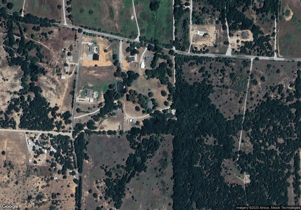
Map
Nearby Homes
- 910 County Road 1111
- 293 County Road 1111
- 00 Farm To Market Road 1810
- 258 W Ridge St
- 263 Eastridge Rd
- 286 W Ridge St
- 189 Rio Rancho Dr
- 209 Rio Rancho Dr
- 159 Rio Rancho Dr
- 206 Rio Rancho Dr
- 131 San Miguel Dr
- 112 La Paloma Way
- 200 County Road 1260
- 516 Wild Wood Dr
- 817 Farm To Market Road 1810
- 119 Private Road 1186
- 141 Mission Oak Trail
- 1480 Cr-1180
- 181 County Road 1326
- 0 Hlavek Rd
- 197 County Road 1110
- 1041 County Road 1111
- 1073 County Road 1111
- 191 County Road 1110
- 207 County Road 1110
- 141 County Road 1110
- 178 County Road 1110
- 0 County Rd 1110 Unit 13169790
- 239 County Road 1110
- 239 County Road 1110
- 197 Private Road 1112
- 730 County Road 1111
- 210 Private Road 1107
- 210 Private Road 1107
- 294 County Road 1110
- 338 County Road 1110
- 708 County Road 1111
- 708 County Road 1111
- 232 Private Road 1112
- 145 Private Road 1107 Unit 1107