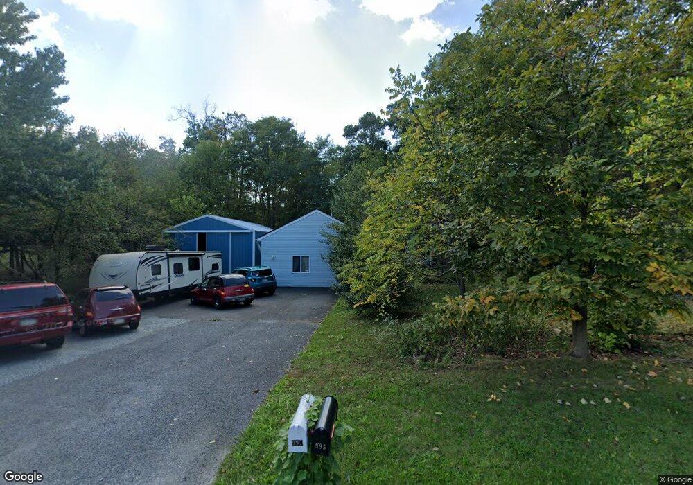
997 Gettysburg Rd Unit 2 Littlestown, PA 17340
Estimated Value: $422,000 - $521,000
5
Beds
4
Baths
3,212
Sq Ft
$142/Sq Ft
Est. Value
About This Home
This home is located at 997 Gettysburg Rd Unit 2, Littlestown, PA 17340 and is currently estimated at $456,083, approximately $141 per square foot. 997 Gettysburg Rd Unit 2 is a home located in Adams County with nearby schools including Rolling Acres El School, Maple Avenue Middle School, and Littlestown Senior High School.
Ownership History
Date
Name
Owned For
Owner Type
Purchase Details
Closed on
Apr 25, 2005
Sold by
Ost Frederick R and Ost Lois T
Bought by
Samuels Neil E and Samuels Holly R
Current Estimated Value
Home Financials for this Owner
Home Financials are based on the most recent Mortgage that was taken out on this home.
Original Mortgage
$209,000
Outstanding Balance
$109,743
Interest Rate
5.95%
Mortgage Type
New Conventional
Estimated Equity
$346,340
Create a Home Valuation Report for This Property
The Home Valuation Report is an in-depth analysis detailing your home's value as well as a comparison with similar homes in the area
Home Values in the Area
Average Home Value in this Area
Purchase History
| Date | Buyer | Sale Price | Title Company |
|---|---|---|---|
| Samuels Neil E | $270,000 | -- |
Source: Public Records
Mortgage History
| Date | Status | Borrower | Loan Amount |
|---|---|---|---|
| Open | Samuels Neil E | $209,000 |
Source: Public Records
Tax History Compared to Growth
Tax History
| Year | Tax Paid | Tax Assessment Tax Assessment Total Assessment is a certain percentage of the fair market value that is determined by local assessors to be the total taxable value of land and additions on the property. | Land | Improvement |
|---|---|---|---|---|
| 2025 | $4,564 | $241,100 | $57,400 | $183,700 |
| 2024 | $4,387 | $241,100 | $57,400 | $183,700 |
| 2023 | $4,276 | $241,100 | $57,400 | $183,700 |
| 2022 | $4,245 | $241,100 | $57,400 | $183,700 |
| 2021 | $4,094 | $241,100 | $57,400 | $183,700 |
| 2020 | $4,035 | $241,100 | $57,400 | $183,700 |
| 2019 | $3,948 | $241,100 | $57,400 | $183,700 |
| 2018 | $3,831 | $241,100 | $57,400 | $183,700 |
| 2017 | $3,711 | $241,100 | $57,400 | $183,700 |
| 2016 | -- | $241,100 | $57,400 | $183,700 |
| 2015 | -- | $241,100 | $57,400 | $183,700 |
| 2014 | -- | $241,100 | $57,400 | $183,700 |
Source: Public Records
Map
Nearby Homes
- 2238 Harney Rd Unit 3
- 2226 Harney Rd Unit 2
- 1024 Frederick Pike Unit 6
- 0 Hershey Rd Unit PALA2058618
- 15 Yorktowne Ct Unit 97
- 161 Stoners Cir
- 22 Rita Marie Ave
- 52 Stayman Way Unit 81
- 37 Amanda Dr Unit 14
- 129 W King St
- 135 Apple Grove Ln Unit 438
- 58 N Gala Unit 397
- 140 Apple Grove Ln Unit 425
- 117 Charles St
- 28 Gettysburg Ct Unit 60
- 115 Charles St
- 58 Windsor Ct
- 48 Windsor Ct
- 440 N Queen St
- 20 Locust Dr
- 1011 Gettysburg Rd Unit 3
- 990 Gettysburg Rd Unit 3
- 949 Gettysburg Rd Unit 1
- 980 Gettysburg Rd Unit 2
- 970 Gettysburg Rd
- 1020 Gettysburg Rd Unit 5
- 1425 Frederick Pike
- 944 Gettysburg Rd
- 1415 Frederick Pike
- 1038 Gettysburg Rd
- 941 Gettysburg Rd Unit 24
- LOT 1B Frederick Pike
- 1040 Gettysburg Rd
- 1461 Frederick Pike
- 1420 Frederick Pike Unit 4
- 1434 Frederick Pike Unit 3
- 1477 Frederick Pike Unit 7
- 1450 Frederick Pike Unit 2
- 1365 Frederick Pike Unit 2
- 1491 Frederick Pike Unit 6