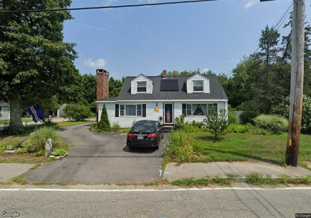
997 Point Rd Marion, MA 02738
Estimated Value: $466,277 - $521,000
3
Beds
2
Baths
1,489
Sq Ft
$330/Sq Ft
Est. Value
About This Home
This home is located at 997 Point Rd, Marion, MA 02738 and is currently estimated at $491,569, approximately $330 per square foot. 997 Point Rd is a home located in Plymouth County with nearby schools including Old Rochester Regional High School and Tabor Academy.
Ownership History
Date
Name
Owned For
Owner Type
Purchase Details
Closed on
Nov 22, 2025
Sold by
Pina Albin R
Bought by
997 Point Rd Rt and Strothers
Current Estimated Value
Purchase Details
Closed on
Mar 14, 2022
Sold by
Andrews Donna M and Pina Albin R
Bought by
Pina Albin R
Home Financials for this Owner
Home Financials are based on the most recent Mortgage that was taken out on this home.
Original Mortgage
$160,000
Interest Rate
3.55%
Mortgage Type
Purchase Money Mortgage
Purchase Details
Closed on
Oct 21, 2013
Sold by
Andrews Donna M and Christian Linda J
Bought by
Andrews Donna M and Christian Linda J
Create a Home Valuation Report for This Property
The Home Valuation Report is an in-depth analysis detailing your home's value as well as a comparison with similar homes in the area
Purchase History
| Date | Buyer | Sale Price | Title Company |
|---|---|---|---|
| 997 Point Rd Rt | -- | -- | |
| Pina Albin R | $120,000 | None Available | |
| Andrews Donna M | -- | -- | |
| Andrews Donna M | -- | -- |
Source: Public Records
Mortgage History
| Date | Status | Borrower | Loan Amount |
|---|---|---|---|
| Previous Owner | Pina Albin R | $160,000 |
Source: Public Records
Tax History
| Year | Tax Paid | Tax Assessment Tax Assessment Total Assessment is a certain percentage of the fair market value that is determined by local assessors to be the total taxable value of land and additions on the property. | Land | Improvement |
|---|---|---|---|---|
| 2025 | $3,580 | $384,100 | $160,000 | $224,100 |
| 2024 | $3,599 | $388,700 | $170,600 | $218,100 |
| 2023 | $3,690 | $390,900 | $192,000 | $198,900 |
| 2022 | $3,339 | $307,700 | $114,900 | $192,800 |
| 2021 | $3,198 | $282,500 | $93,400 | $189,100 |
| 2020 | $3,091 | $264,200 | $84,300 | $179,900 |
| 2019 | $2,914 | $264,200 | $84,300 | $179,900 |
| 2018 | $2,688 | $234,800 | $105,900 | $128,900 |
| 2017 | $2,608 | $228,600 | $105,900 | $122,700 |
| 2016 | $2,432 | $215,000 | $92,300 | $122,700 |
| 2015 | $2,423 | $218,100 | $84,100 | $134,000 |
Source: Public Records
Map
Nearby Homes
- 929 Point Rd
- 245 Wareham Rd
- 4 Blackhall Ct
- 5 Hermitage Rd
- 119 County Rd
- 12 Taft St
- 127 County Rd
- 14 Briarwood Dr
- 4 Roosevelt St
- 0 Cromesett Rd (Off) Unit 73385395
- 143 Cross Neck Rd
- 17 Fieldstone Ln
- 13 Fieldstone Ln
- 2 Quelle Ln
- 0 Cross Neck Rd Unit 73420524
- 0 Cross Neck Rd Unit 73466177
- 0 Cross Neck Rd Unit 73420525
- 9 Woodville Way
- 58 Shady Ln
- 10 Barnes St
Your Personal Tour Guide
Ask me questions while you tour the home.