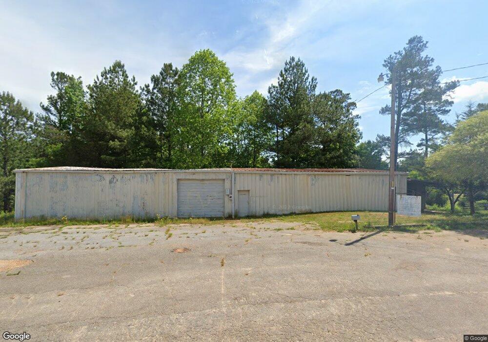
997 W Airport Rd Cornelia, GA 30531
Estimated Value: $234,000 - $238,000
2
Beds
1
Bath
832
Sq Ft
$284/Sq Ft
Est. Value
About This Home
This home is located at 997 W Airport Rd, Cornelia, GA 30531 and is currently estimated at $236,000, approximately $283 per square foot. 997 W Airport Rd is a home located in Habersham County with nearby schools including Level Grove Elementary School, South Habersham Middle School, and Habersham Success Academy.
Ownership History
Date
Name
Owned For
Owner Type
Purchase Details
Closed on
Oct 2, 2023
Sold by
Smith Sammy W
Bought by
Camtrell Chuck
Current Estimated Value
Home Financials for this Owner
Home Financials are based on the most recent Mortgage that was taken out on this home.
Original Mortgage
$105,000
Outstanding Balance
$96,584
Interest Rate
6.55%
Mortgage Type
New Conventional
Estimated Equity
$139,416
Create a Home Valuation Report for This Property
The Home Valuation Report is an in-depth analysis detailing your home's value as well as a comparison with similar homes in the area
Home Values in the Area
Average Home Value in this Area
Purchase History
| Date | Buyer | Sale Price | Title Company |
|---|---|---|---|
| Camtrell Chuck | $140,000 | -- |
Source: Public Records
Mortgage History
| Date | Status | Borrower | Loan Amount |
|---|---|---|---|
| Open | Camtrell Chuck | $105,000 |
Source: Public Records
Tax History
| Year | Tax Paid | Tax Assessment Tax Assessment Total Assessment is a certain percentage of the fair market value that is determined by local assessors to be the total taxable value of land and additions on the property. | Land | Improvement |
|---|---|---|---|---|
| 2025 | $2,090 | $86,505 | $8,190 | $78,315 |
| 2024 | $1,453 | $56,000 | $8,492 | $47,508 |
| 2023 | $1,511 | $60,452 | $8,492 | $51,960 |
| 2022 | $1,371 | $52,580 | $8,492 | $44,088 |
| 2021 | $1,242 | $47,844 | $8,492 | $39,352 |
| 2020 | $1,147 | $42,660 | $8,492 | $34,168 |
| 2019 | $1,149 | $42,660 | $8,492 | $34,168 |
| 2018 | $592 | $22,160 | $8,492 | $13,668 |
| 2017 | $580 | $21,608 | $8,492 | $13,116 |
| 2016 | $563 | $54,020 | $8,492 | $13,116 |
| 2015 | $557 | $54,020 | $8,492 | $13,116 |
| 2014 | $567 | $54,020 | $8,492 | $13,116 |
| 2013 | -- | $21,608 | $8,492 | $13,116 |
Source: Public Records
Map
Nearby Homes
- 490 Magnolia Grove Place
- 484 Magnolia Grove Place
- 554 Creek Rd
- 524 Creek Rd
- 657 Forest Way
- 661 Forest Way
- 3402 Bc Grant Rd
- 662 Forest Way
- 0 J Warren Rd Unit 10429700
- 212 Magnolia Villas Dr
- 285 Magnolia Villas Dr
- 722 Pathway Cir
- 266 Magnolia Villas Dr
- 304 Magnolia Villas Dr
- J Warren
- 429 Hubert Harris Rd
- 0 Highway 441 Bypass Unit 10428967
- 0 Hubert Harris
- 167 South St
- 115 Wood St
- 180 Village Pines Ave
- 145 Pine Straw Ln
- 989 Airport Rd W
- 340 Falcon Ln
- 162 Village Pines Ave
- 350 Falcon Ln
- 897 Airport Rd W
- 129 Pine Straw Ln
- 0 Airport Bc Grant Rd Unit 2996046
- 0 Airport Bc Grant Rd Unit 3189765
- 0 Airport Bc Grant Rd Unit 3268144
- 0 Airport Bc Grant Rd Unit 7051517
- 0 Airport Bc Grant Rd Unit 7142644
- 0 Airport B C Grant Rd Unit 7348936
- 360 Falcon Ln
- 158 Village Pines Ave
- 116 Boxwood Ave
- 111 Village Ave
- 893 Airport Rd W
- 483 Magnolia Grove Place
Your Personal Tour Guide
Ask me questions while you tour the home.