9973 Harbor Point Dr Sperry, OK 74073
Estimated Value: $420,517 - $657,000
4
Beds
3
Baths
2,262
Sq Ft
$227/Sq Ft
Est. Value
About This Home
This home is located at 9973 Harbor Point Dr, Sperry, OK 74073 and is currently estimated at $512,879, approximately $226 per square foot. 9973 Harbor Point Dr is a home with nearby schools including Sperry Elementary School, Sperry Middle School, and Sperry High School.
Ownership History
Date
Name
Owned For
Owner Type
Purchase Details
Closed on
Apr 15, 2021
Sold by
Spendlow Michael Ian and Spendlow Victoria Jane
Bought by
Spendlow Michael Ian and Spendlow Victoria Jane
Current Estimated Value
Purchase Details
Closed on
Sep 20, 2012
Sold by
Drummond Pointe Development Llc
Bought by
Spendlow Mcihael Ian and Spendlow Victoria Jane
Home Financials for this Owner
Home Financials are based on the most recent Mortgage that was taken out on this home.
Original Mortgage
$247,700
Outstanding Balance
$169,773
Interest Rate
3.37%
Mortgage Type
Adjustable Rate Mortgage/ARM
Estimated Equity
$343,106
Create a Home Valuation Report for This Property
The Home Valuation Report is an in-depth analysis detailing your home's value as well as a comparison with similar homes in the area
Home Values in the Area
Average Home Value in this Area
Purchase History
| Date | Buyer | Sale Price | Title Company |
|---|---|---|---|
| Spendlow Michael Ian | -- | None Available | |
| Spendlow Mcihael Ian | $100,000 | Stewart Escrow & Title |
Source: Public Records
Mortgage History
| Date | Status | Borrower | Loan Amount |
|---|---|---|---|
| Open | Spendlow Mcihael Ian | $247,700 |
Source: Public Records
Tax History Compared to Growth
Tax History
| Year | Tax Paid | Tax Assessment Tax Assessment Total Assessment is a certain percentage of the fair market value that is determined by local assessors to be the total taxable value of land and additions on the property. | Land | Improvement |
|---|---|---|---|---|
| 2024 | $4,116 | $37,836 | $12,000 | $25,836 |
| 2023 | $4,116 | $37,836 | $12,000 | $25,836 |
| 2022 | $4,098 | $37,836 | $12,000 | $25,836 |
| 2021 | $4,074 | $37,836 | $12,000 | $25,836 |
| 2020 | $4,080 | $37,836 | $12,000 | $25,836 |
| 2019 | $4,128 | $37,836 | $12,000 | $25,836 |
| 2018 | $4,125 | $37,836 | $12,000 | $25,836 |
| 2017 | $4,016 | $37,857 | $12,000 | $25,857 |
| 2016 | $3,998 | $37,857 | $12,000 | $25,857 |
| 2015 | $3,929 | $37,857 | $12,000 | $25,857 |
| 2014 | $3,948 | $37,857 | $12,000 | $25,857 |
| 2013 | $1,251 | $12,000 | $12,000 | $0 |
Source: Public Records
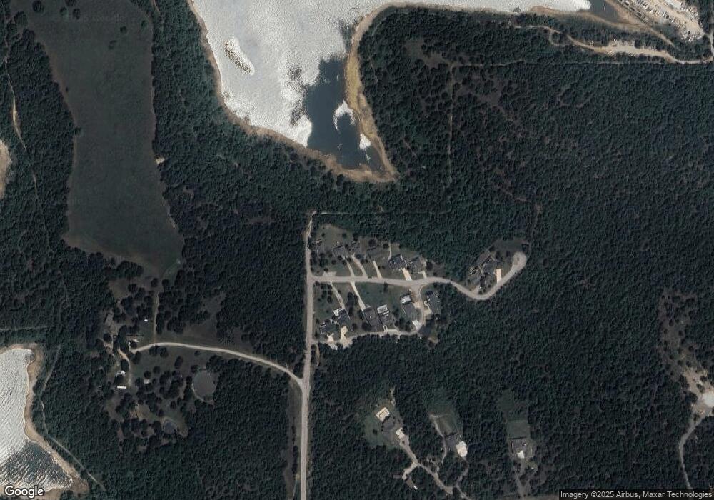
Map
Nearby Homes
- 19 Catalina Blvd
- 22 Catalina Blvd
- 21 Catalina Blvd
- 18 Catalina Blvd
- 33 Catalina Blvd
- 45 Catalina Blvd
- 9639 Horizon Cir
- 12778 Lake Rd
- 11 Avalon Dr
- 40 Avalon Dr
- 10 Avalon Dr
- 14 Avalon Dr
- 12586 Wilson Dr
- 12432 Boulder Ridge
- 0 Shoreline Dr Unit 2516761
- 1 Sunset View Dr
- 9352 Scenic Bluff Ave
- 0 Lakeview Rd Unit 2540300
- 8222 W 118th St N
- 0 W 103rd St N Unit 2533530
- 9985 Harbor Point Dr
- 9961 Harbor Point Dr
- 9965 Harbor Point Dr
- 9991 Harbor Point Dr
- 9941 Harbor Point Dr
- 9981 Anglers Ln
- 9985 Anglers Ln
- 9975 Anglers Ln
- 9995 Anglers Ln
- 9962 Anglers Ln
- 9965 Anglers Ln
- 9885 Harbor Point Dr
- 9885 Tall Chief Cove Rd
- 9883 Tall Chief Cove Rd
- 0 Tall Chief Cove Unit 2226199
- 9648 Sunset Cir
- 5283 Valley Rd
- 5517 Valley Rd
- 0003 Marina Dr
- 0001 Marina Dr