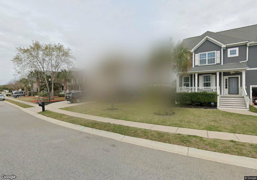
998 Clearspring Dr Charleston, SC 29412
James Island NeighborhoodEstimated Value: $829,000 - $972,000
3
Beds
3
Baths
2,274
Sq Ft
$398/Sq Ft
Est. Value
About This Home
This home is located at 998 Clearspring Dr, Charleston, SC 29412 and is currently estimated at $905,668, approximately $398 per square foot. 998 Clearspring Dr is a home located in Charleston County with nearby schools including James Island Elementary School, Camp Road Middle, and Septima P Clark Corporate Academy.
Ownership History
Date
Name
Owned For
Owner Type
Purchase Details
Closed on
Aug 23, 2013
Sold by
Mungo Homes Coastal Division Llc
Bought by
King Andrew and King Sarah
Current Estimated Value
Home Financials for this Owner
Home Financials are based on the most recent Mortgage that was taken out on this home.
Original Mortgage
$305,063
Outstanding Balance
$227,677
Interest Rate
4.48%
Mortgage Type
New Conventional
Estimated Equity
$677,991
Purchase Details
Closed on
Nov 15, 2012
Sold by
Hagan Scott
Bought by
Harbor Homes Llc
Purchase Details
Closed on
Feb 27, 2002
Sold by
Charleston Land Group Llc
Bought by
Hagan Scott and Scott Hagan Builders
Create a Home Valuation Report for This Property
The Home Valuation Report is an in-depth analysis detailing your home's value as well as a comparison with similar homes in the area
Home Values in the Area
Average Home Value in this Area
Purchase History
| Date | Buyer | Sale Price | Title Company |
|---|---|---|---|
| King Andrew | $321,119 | -- | |
| Harbor Homes Llc | $895,000 | -- | |
| Hagan Scott | $2,800,000 | -- |
Source: Public Records
Mortgage History
| Date | Status | Borrower | Loan Amount |
|---|---|---|---|
| Open | King Andrew | $305,063 |
Source: Public Records
Tax History Compared to Growth
Tax History
| Year | Tax Paid | Tax Assessment Tax Assessment Total Assessment is a certain percentage of the fair market value that is determined by local assessors to be the total taxable value of land and additions on the property. | Land | Improvement |
|---|---|---|---|---|
| 2024 | $2,562 | $19,550 | $0 | $0 |
| 2023 | $2,562 | $19,550 | $0 | $0 |
| 2022 | $2,389 | $19,550 | $0 | $0 |
| 2021 | $2,507 | $19,550 | $0 | $0 |
| 2020 | $2,599 | $19,550 | $0 | $0 |
| 2019 | $2,312 | $17,000 | $0 | $0 |
| 2017 | $1,709 | $12,840 | $0 | $0 |
| 2016 | $1,540 | $12,840 | $0 | $0 |
| 2015 | $1,594 | $12,840 | $0 | $0 |
| 2014 | $1,556 | $0 | $0 | $0 |
| 2011 | -- | $0 | $0 | $0 |
Source: Public Records
Map
Nearby Homes
- 1144 Clearspring Dr
- 1153 Clearspring Dr
- 1821 Folly Rd
- 1087 Clearspring Dr
- 1714 Lotus Ln
- 1685 Old Military Rd
- 1447 Fort Lamar Rd
- 0 Arsburn Rd Unit 1408440
- 0000 Arsburn Rd
- 000 Arsburn Rd
- 00 Arsburn Rd
- 1427 Battle Ground Rd
- 1617 Refuge Run
- 1582 Teal Marsh Rd
- 1410 Ordinance Point
- 1624 Wigeon Ln
- 1984 Folly Rd Unit A202
- 1984 Folly Rd Unit A314
- 1984 Folly Rd Unit A307
- 1984 Folly Rd Unit B304
- 1000 Clearspring Dr
- 994 Clearspring Dr
- 1006 Clearspring Dr
- 1010 Clearspring Dr
- 991 Clearspring Dr
- 1014 Clearspring Dr
- 987 Clearspring Dr
- 983 Clearspring Dr
- 1005 Clearspring Dr
- 986 Clearspring Dr
- 979 Clearspring Dr
- 1018 Clearspring Dr
- 997 Clearspring Dr
- 1009 Clearspring Dr
- 975 Clearspring Dr
- 1003 Clearspring Dr
- 1013 Clearspring Dr
- 999 Clearspring Dr
- 971 Clearspring Dr
- 1017 Clearspring Dr