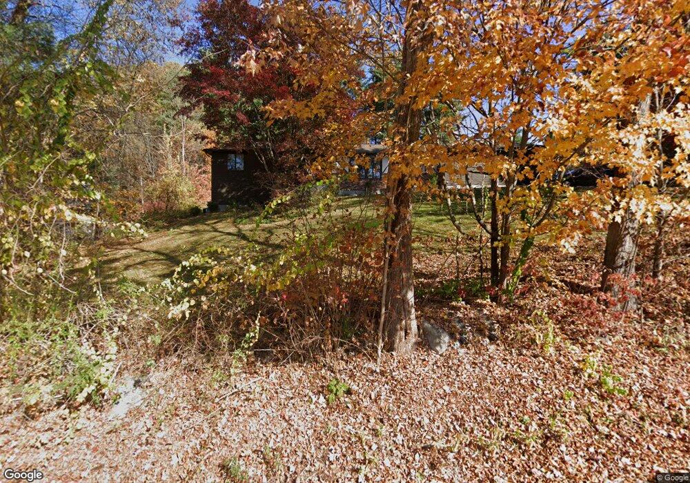
998 Matthews St Bristol, CT 06010
North Bristol NeighborhoodEstimated Value: $421,880 - $439,000
3
Beds
2
Baths
1,685
Sq Ft
$257/Sq Ft
Est. Value
About This Home
This home is located at 998 Matthews St, Bristol, CT 06010 and is currently estimated at $432,720, approximately $256 per square foot. 998 Matthews St is a home located in Hartford County with nearby schools including West Bristol Sch, Bristol Central High School, and Immanuel Lutheran School.
Ownership History
Date
Name
Owned For
Owner Type
Purchase Details
Closed on
May 1, 2000
Sold by
Levesque Adrien C and Levesque Linda M
Bought by
Gruimond Emile and Gruimond Joanne M
Current Estimated Value
Create a Home Valuation Report for This Property
The Home Valuation Report is an in-depth analysis detailing your home's value as well as a comparison with similar homes in the area
Home Values in the Area
Average Home Value in this Area
Purchase History
| Date | Buyer | Sale Price | Title Company |
|---|---|---|---|
| Gruimond Emile | $190,000 | -- |
Source: Public Records
Mortgage History
| Date | Status | Borrower | Loan Amount |
|---|---|---|---|
| Open | Gruimond Emile | $100,000 | |
| Closed | Gruimond Emile | $100,000 | |
| Closed | Gruimond Emile | $50,000 |
Source: Public Records
Tax History Compared to Growth
Tax History
| Year | Tax Paid | Tax Assessment Tax Assessment Total Assessment is a certain percentage of the fair market value that is determined by local assessors to be the total taxable value of land and additions on the property. | Land | Improvement |
|---|---|---|---|---|
| 2025 | $7,924 | $234,780 | $61,530 | $173,250 |
| 2024 | $7,478 | $234,780 | $61,530 | $173,250 |
| 2023 | $7,126 | $234,780 | $61,530 | $173,250 |
| 2022 | $6,365 | $165,970 | $48,090 | $117,880 |
| 2021 | $6,365 | $165,970 | $48,090 | $117,880 |
| 2020 | $6,365 | $165,970 | $48,090 | $117,880 |
| 2019 | $6,315 | $165,970 | $48,090 | $117,880 |
| 2018 | $6,121 | $165,970 | $48,090 | $117,880 |
| 2017 | $6,121 | $169,890 | $65,450 | $104,440 |
| 2016 | $6,121 | $169,890 | $65,450 | $104,440 |
| 2015 | $5,880 | $169,890 | $65,450 | $104,440 |
| 2014 | $5,880 | $169,890 | $65,450 | $104,440 |
Source: Public Records
Map
Nearby Homes
- 565 Clark Ave Unit 17
- 565 Clark Ave Unit 18
- 565 Clark Ave Unit 70
- 21 Sandra Ave
- 820 Matthews St Unit 29
- 441 Clark Ave Unit 2
- 441 Clark Ave Unit 5
- 17 Hoye St
- 2 Sandra Ave
- 19 Main St
- 14 Church St
- 7 Kearney St
- Lots 16, 18 and 22 E Hill St
- 10 Diamond St
- 26 Martin Rd
- 6 Ridgecrest Ln
- 15 Woodside Ln
- 78 Kearney St
- 11 William St
- 65 Gino Dr
- 1010 Matthews St
- 1001 Matthews St
- 1015 Matthews St
- 1022 Matthews St
- 971 Matthews St
- 1038 Matthews St
- 970 Matthews St
- 1052 Matthews St
- 940 Matthews St
- 1066 Matthews St
- 1089 Matthews St
- 1090 Matthews St
- 920 Matthews St
- 895 Matthews St Unit 56
- 895 Matthews St Unit 62
- 895 Matthews St Unit 61
- 895 Matthews St Unit 60
- 895 Matthews St Unit 59
- 895 Matthews St Unit 58
- 895 Matthews St Unit 57