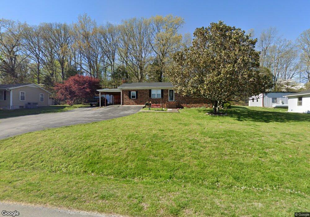
998 Stuart Smotherman Rd Russellville, KY 42276
Estimated Value: $144,000 - $214,000
3
Beds
2
Baths
1,456
Sq Ft
$117/Sq Ft
Est. Value
About This Home
This home is located at 998 Stuart Smotherman Rd, Russellville, KY 42276 and is currently estimated at $169,886, approximately $116 per square foot. 998 Stuart Smotherman Rd is a home located in Logan County with nearby schools including Logan County High School.
Ownership History
Date
Name
Owned For
Owner Type
Purchase Details
Closed on
Aug 22, 2025
Sold by
Fully Involved Properties Llc
Bought by
Scott Cameron Osborne
Current Estimated Value
Purchase Details
Closed on
Dec 27, 2017
Sold by
U S Bank National Assn
Bought by
Hampton Kyle Thomas and Hampton Amanda Rae
Purchase Details
Closed on
Dec 13, 2017
Sold by
Us Bank National Association
Bought by
Hampton Kyle Thomas and Hampton Amanda Rae
Purchase Details
Closed on
Aug 22, 2017
Sold by
Bradshaw Kayla and Young Adam
Bought by
Us Bank National Association
Create a Home Valuation Report for This Property
The Home Valuation Report is an in-depth analysis detailing your home's value as well as a comparison with similar homes in the area
Home Values in the Area
Average Home Value in this Area
Purchase History
| Date | Buyer | Sale Price | Title Company |
|---|---|---|---|
| Scott Cameron Osborne | $150,000 | Clark Title | |
| Hampton Kyle Thomas | $71,260 | -- | |
| Hampton Kyle Thomas | $71,260 | None Available | |
| Us Bank National Association | $74,200 | None Available |
Source: Public Records
Tax History Compared to Growth
Tax History
| Year | Tax Paid | Tax Assessment Tax Assessment Total Assessment is a certain percentage of the fair market value that is determined by local assessors to be the total taxable value of land and additions on the property. | Land | Improvement |
|---|---|---|---|---|
| 2025 | $740 | $84,000 | $5,000 | $79,000 |
| 2024 | $746 | $84,000 | $5,000 | $79,000 |
| 2023 | $650 | $71,260 | $5,000 | $66,260 |
| 2022 | $642 | $71,260 | $5,000 | $66,260 |
| 2021 | $645 | $71,260 | $5,000 | $66,260 |
| 2020 | $654 | $71,260 | $5,000 | $66,260 |
| 2019 | $653 | $71,260 | $5,000 | $66,260 |
| 2018 | $617 | $71,260 | $5,000 | $66,260 |
| 2017 | $715 | $80,000 | $7,000 | $73,000 |
| 2016 | $707 | $80,000 | $0 | $0 |
| 2015 | $186 | $80,000 | $7,000 | $73,000 |
| 2012 | $186 | $80,000 | $0 | $0 |
Source: Public Records
Map
Nearby Homes
- 2398 Lewisburg Rd
- 2148 Lewisburg Rd
- 0 Cole Rd Unit RA20250685
- 3.90 acres Lewisburg Rd Unit Map 068-00-00-026-
- 0 Terry Wilcutt Hwy
- 105 Woodhurst Ln
- 101 Longview Dr
- 1171 Newtown Rd
- 302 Hunters Cir
- 305 Hunters Cir
- 512 Hunters Cir
- 112 Hunters Cir
- 4688 Lewisburg Rd
- 104 S Oak St
- 1920 Coopertown Rd
- 0 Karis Dr Unit Lot 58 Stonewall Sub
- 315 Kondracki Rd
- 127 Garland Way
- 119 Garland Way
- 105 Madeline Ct
- 972 Stuart Smotherman Rd
- 101 Jenkins Rd
- 117 Jenkins Rd
- 148 Jenkins Rd
- 911 Stuart Smotherman Rd
- 0 Michaels Ln Unit 20151318
- 1061 Stuart Smotherman Rd
- 850 Stuart Smotherman Rd
- 920 Stuart Smotherman Rd
- 2658 Lewisburg Rd
- 1018 Stuart Smotherman Rd
- 1093 Stuart Smotherman Rd
- 842 Stuart Smotherman Rd
- 67 Ewing White Rd
- 201 Ewing White Rd
- 2756 Lewisburg Rd
- 2798 Lewisburg Rd
- 54 Ewing White Rd
- 1120 Stuart Smotherman Rd
- 1620 Terry Wilcutt Hwy