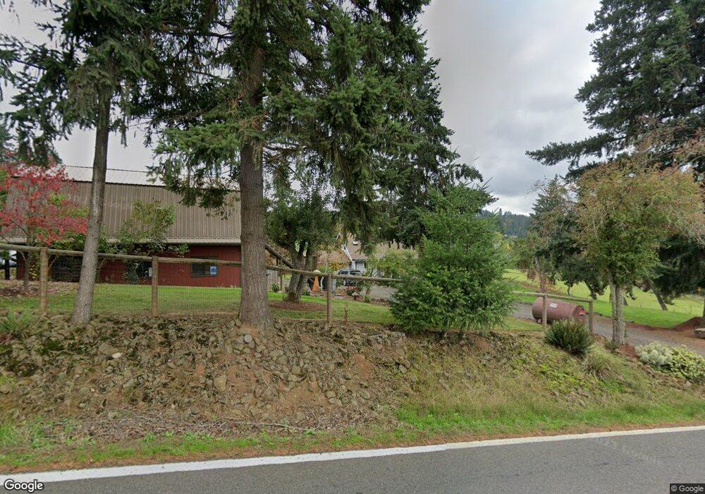
9982 S Maple Grove Rd Molalla, OR 97038
Estimated Value: $338,000 - $693,000
3
Beds
1
Bath
1,258
Sq Ft
$399/Sq Ft
Est. Value
About This Home
This home is located at 9982 S Maple Grove Rd, Molalla, OR 97038 and is currently estimated at $502,181, approximately $399 per square foot. 9982 S Maple Grove Rd is a home located in Clackamas County with nearby schools including Scotts Mills Elementary School and Silverton High School.
Ownership History
Date
Name
Owned For
Owner Type
Purchase Details
Closed on
May 30, 1996
Sold by
Shelstad Sharla
Bought by
Harrison Randy D
Current Estimated Value
Purchase Details
Closed on
May 28, 1996
Sold by
Harrison Randy D
Bought by
Owings James T and Owings Velva M
Create a Home Valuation Report for This Property
The Home Valuation Report is an in-depth analysis detailing your home's value as well as a comparison with similar homes in the area
Home Values in the Area
Average Home Value in this Area
Purchase History
| Date | Buyer | Sale Price | Title Company |
|---|---|---|---|
| Harrison Randy D | $65,000 | Fidelity National Title Co | |
| Owings James T | -- | Fidelity National Title | |
| Owings James T | $80,000 | Fidelity National Title |
Source: Public Records
Tax History Compared to Growth
Tax History
| Year | Tax Paid | Tax Assessment Tax Assessment Total Assessment is a certain percentage of the fair market value that is determined by local assessors to be the total taxable value of land and additions on the property. | Land | Improvement |
|---|---|---|---|---|
| 2025 | $2,397 | $187,578 | -- | -- |
| 2024 | $2,338 | $182,115 | -- | -- |
| 2023 | $2,338 | $176,811 | $0 | $0 |
| 2022 | $1,897 | $146,517 | $0 | $0 |
| 2021 | $1,816 | $142,250 | $0 | $0 |
| 2020 | $1,775 | $138,107 | $0 | $0 |
| 2019 | $1,720 | $134,085 | $0 | $0 |
| 2018 | $1,676 | $130,180 | $0 | $0 |
| 2017 | $1,639 | $126,388 | $0 | $0 |
| 2016 | $1,586 | $122,707 | $0 | $0 |
| 2015 | $1,539 | $119,133 | $0 | $0 |
| 2014 | $1,498 | $115,663 | $0 | $0 |
Source: Public Records
Map
Nearby Homes
- 0 Crooked Finger Rd NE Unit 827344
- 0 Crooked Finger Rd NE Unit 265826977
- 000 Crooked Finger Rd NE
- Lot 1600 Crooked Finger Rd NE
- 0 Off of Crooked Finge Rd
- 551 6th St
- 7138 Grandview Ave
- 7118 Grandview Ave
- 0 Hazelnut Ridge Rd
- 0 Address Undisclosed NE Unit 834166
- 0 Peak View Unit Lots 24 & 46
- 37486 S Highway 213 (Adj To)
- 37486 S Hwy 213 (Adj To)
- 37658 S Highway 213
- 5632 Mac Way NE
- 17616 Abiqua Rd NE
- 17576 Abiqua Rd NE
- 20125 Mckillop Rd
- 6627 Mary Ln NE
- 8438 Cascade Hwy NE
- 9981 S Maple Grove Rd
- 9950 S Maple Grove Rd
- 10044 S Maple Grove Rd
- 10051 S Maple Grove Rd
- 9892 S Butte Creek Rd
- 10052 S Maple Grove Rd
- 9961 S Maple Grove Rd
- 10288 S Maple Grove Rd
- 9959 S Butte Creek Rd
- 10123 S Maple Grove Rd
- 13087 S Butte Creek Rd
- 0 S Butte Creek Rd Unit 604921
- 0 S Butte Creek Rd
- 38900 S Friendship Ln
- 10071 S Butte Creek Rd
- 9920 S Butte Creek Rd
- 9951 S Maple Grove Rd
- 425 Crooked Finger Rd NE
- 401 Crooked Finger Rd NE
- 38880 S Nowlens Bridge Rd