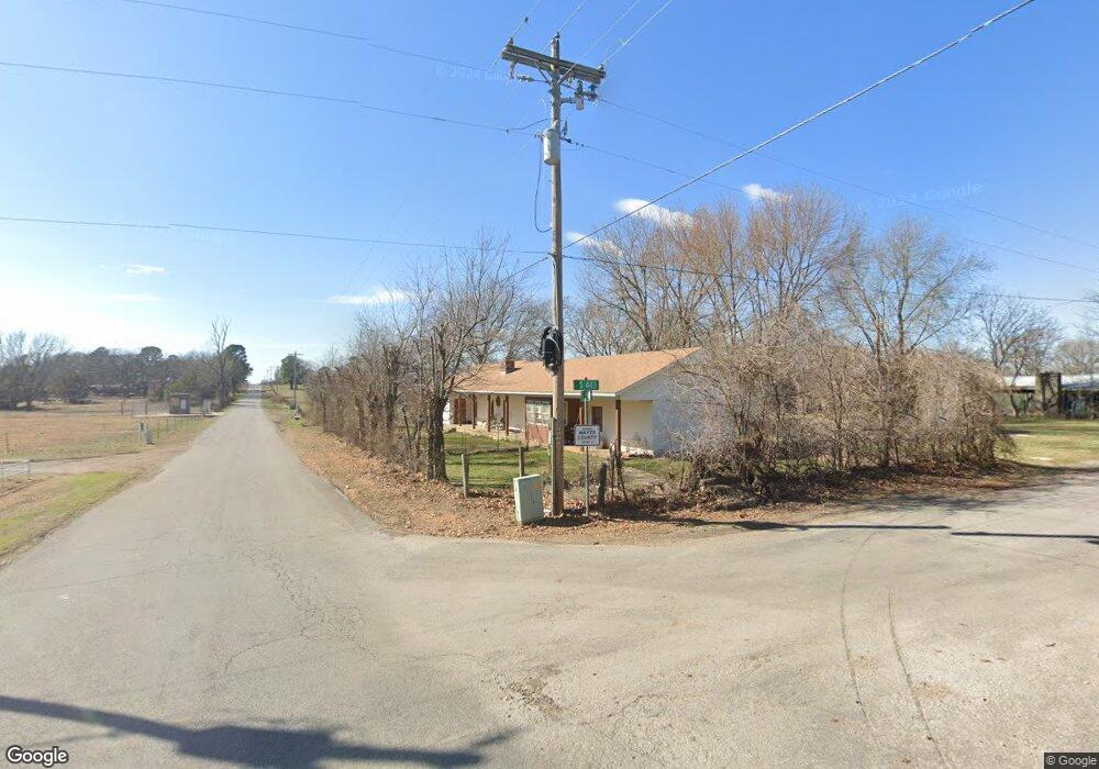
9984 S 443 Locust Grove, OK 74352
Estimated Value: $178,000 - $288,000
3
Beds
3
Baths
1,902
Sq Ft
$114/Sq Ft
Est. Value
About This Home
This home is located at 9984 S 443, Locust Grove, OK 74352 and is currently estimated at $216,809, approximately $113 per square foot. 9984 S 443 is a home located in Mayes County with nearby schools including Locust Grove Early Lrning Center, Locust Grove Upper Elementary School, and Locust Grove Middle School.
Ownership History
Date
Name
Owned For
Owner Type
Purchase Details
Closed on
Nov 29, 2019
Sold by
Olle Linda and Pickens Terry W
Bought by
Odle Giwda and Pickens Terry W
Current Estimated Value
Purchase Details
Closed on
May 6, 2019
Sold by
Vogel Judy
Bought by
Odle Linda and Pickens Terry
Purchase Details
Closed on
Jan 4, 2013
Sold by
Odle Linda
Bought by
Odle Linda and Pickens Terry
Purchase Details
Closed on
Jul 1, 2003
Sold by
Kastl Judy and Kathy Glasgow
Bought by
Odle Linda
Create a Home Valuation Report for This Property
The Home Valuation Report is an in-depth analysis detailing your home's value as well as a comparison with similar homes in the area
Home Values in the Area
Average Home Value in this Area
Purchase History
| Date | Buyer | Sale Price | Title Company |
|---|---|---|---|
| Odle Giwda | -- | None Available | |
| Odle Linda | -- | None Available | |
| Odle Linda | -- | None Available | |
| Odle Linda | -- | -- |
Source: Public Records
Tax History Compared to Growth
Tax History
| Year | Tax Paid | Tax Assessment Tax Assessment Total Assessment is a certain percentage of the fair market value that is determined by local assessors to be the total taxable value of land and additions on the property. | Land | Improvement |
|---|---|---|---|---|
| 2025 | $662 | $9,117 | $754 | $8,363 |
| 2024 | $662 | $9,117 | $726 | $8,391 |
| 2023 | $662 | $9,116 | $767 | $8,349 |
| 2022 | $642 | $9,117 | $622 | $8,495 |
| 2021 | $656 | $9,117 | $647 | $8,470 |
| 2020 | $666 | $9,117 | $1,067 | $8,050 |
| 2019 | $666 | $9,117 | $973 | $8,144 |
| 2018 | $680 | $9,117 | $973 | $8,144 |
| 2017 | $680 | $9,117 | $973 | $8,144 |
| 2016 | $664 | $9,117 | $973 | $8,144 |
| 2015 | $685 | $9,117 | $1,176 | $7,941 |
| 2014 | $685 | $9,117 | $1,176 | $7,941 |
Source: Public Records
Map
Nearby Homes
- 9212 S 443 Rd
- TBD SE 575
- 12293 E 590 Rd
- 0 E 610 Rd Unit 2542638
- 6164 E 578
- 12665 S 4429
- 7167 E 618 Rd
- 12754 S 442 Rd
- 10761 E 590 Rd
- 0 E 590 Rd Unit 2538744
- 6959 E 561 Rd
- 4100 N 430 Rd
- 0 Hwy 82 S Unit 2503331
- 10171 U S Highway 412
- 11377 E 590
- 815 S Cherokee St
- 715 S Cherokee St
- 608 S Cherokee St
- 00 Hill St
- 0 S 4409 Rd