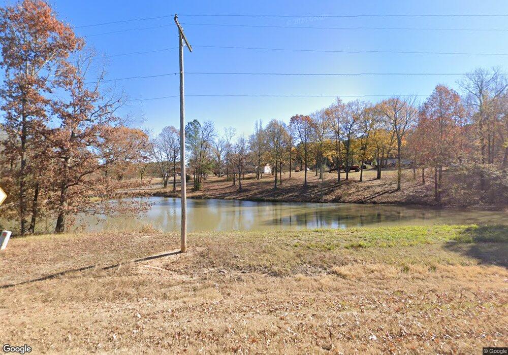
9985 Highway 67 Benton, AR 72015
Estimated Value: $289,000 - $394,000
--
Bed
2
Baths
2,520
Sq Ft
$135/Sq Ft
Est. Value
About This Home
This home is located at 9985 Highway 67, Benton, AR 72015 and is currently estimated at $339,987, approximately $134 per square foot. 9985 Highway 67 is a home located in Saline County with nearby schools including Glen Rose Elementary School, Glen Rose Middle School, and Glen Rose High School.
Ownership History
Date
Name
Owned For
Owner Type
Purchase Details
Closed on
Apr 3, 2023
Sold by
Jones Keith Lynn and Jones Rita Lynn
Bought by
South Central Connect Llc
Current Estimated Value
Purchase Details
Closed on
Jul 26, 2006
Sold by
Jones Keith L and Jones Rita L
Bought by
Jones Keith L and Jones Rita L
Home Financials for this Owner
Home Financials are based on the most recent Mortgage that was taken out on this home.
Original Mortgage
$180,000
Interest Rate
6.31%
Mortgage Type
New Conventional
Purchase Details
Closed on
Oct 1, 1993
Bought by
Jones
Create a Home Valuation Report for This Property
The Home Valuation Report is an in-depth analysis detailing your home's value as well as a comparison with similar homes in the area
Home Values in the Area
Average Home Value in this Area
Purchase History
| Date | Buyer | Sale Price | Title Company |
|---|---|---|---|
| South Central Connect Llc | $15,000 | First National Title | |
| Jones Keith L | -- | -- | |
| Jones | $50,000 | -- |
Source: Public Records
Mortgage History
| Date | Status | Borrower | Loan Amount |
|---|---|---|---|
| Previous Owner | Jones Keith L | $180,000 |
Source: Public Records
Tax History Compared to Growth
Tax History
| Year | Tax Paid | Tax Assessment Tax Assessment Total Assessment is a certain percentage of the fair market value that is determined by local assessors to be the total taxable value of land and additions on the property. | Land | Improvement |
|---|---|---|---|---|
| 2025 | $1,521 | $31,755 | $1,588 | $30,167 |
| 2024 | $1,521 | $31,755 | $1,588 | $30,167 |
| 2023 | $1,191 | $31,755 | $1,588 | $30,167 |
| 2022 | $1,241 | $31,755 | $1,588 | $30,167 |
| 2021 | $1,312 | $33,230 | $2,090 | $31,140 |
| 2020 | $1,267 | $33,230 | $2,090 | $31,140 |
| 2019 | $1,204 | $31,910 | $2,090 | $29,820 |
| 2018 | $1,229 | $31,910 | $2,090 | $29,820 |
| 2017 | $1,205 | $31,910 | $2,090 | $29,820 |
| 2016 | $1,433 | $29,920 | $2,070 | $27,850 |
| 2015 | $1,433 | $29,920 | $2,070 | $27,850 |
| 2014 | $1,134 | $28,950 | $2,070 | $26,880 |
Source: Public Records
Map
Nearby Homes
- 7035 Point View Rd
- 0000 Deer Creek Rd
- 6221 Bray Dr
- 6115 Point View Rd
- 4051 Whitney Ln
- 5086 Oklahoma Inn Rd
- 1500 Dwight Brown Rd
- 2009 Berkshire Dr
- 3914 Beacon Cove
- 810 Troutman Rd
- 00000 Crossroads
- 508 Saint Charles Ct
- 500 R Tram - Front Right
- 109 Riveria Cove
- 500 R Tram - Rear Right
- 500 R Tram - Left Side - Front
- 112 Kee Cove
- 500 R Tram - Left Rear
- 000 Traskwood Rd
- 00 House Rd
- 3800 Trammel Ln
- 9851 Highway 67
- 3821 Trammel Ln
- 9771 Highway 67
- 3879 Trammel Ln
- 9765 Highway 67
- 9842 Highway 67
- 9725 Highway 67
- 10292 Highway 67
- 9723 Highway 67
- 4418 Holy Ridge Rd
- 4500 Holy Ridge Rd
- 4332 Holy Ridge Rd
- 10116 Highway 67
- 7213 Point
- 7213 Point View Rd
- 4427 Holy Ridge Rd
- 17.08 Holy Ridge Rd
- 4401 Holy Ridge Rd
- 7806 Holy Ridge Cutoff
