9986 N Cloudcrest Ln Fair Grove, MO 65648
Estimated Value: $238,000 - $330,215
4
Beds
2
Baths
1,607
Sq Ft
$182/Sq Ft
Est. Value
About This Home
This home is located at 9986 N Cloudcrest Ln, Fair Grove, MO 65648 and is currently estimated at $292,804, approximately $182 per square foot. 9986 N Cloudcrest Ln is a home located in Greene County with nearby schools including Fair Grove Elementary School, Fair Grove Middle School, and Fair Grove High School.
Ownership History
Date
Name
Owned For
Owner Type
Purchase Details
Closed on
Feb 5, 2009
Sold by
Federal Home Loan Mortgage Corporation
Bought by
Gann Ronald L
Current Estimated Value
Home Financials for this Owner
Home Financials are based on the most recent Mortgage that was taken out on this home.
Original Mortgage
$89,100
Outstanding Balance
$56,653
Interest Rate
5.21%
Mortgage Type
New Conventional
Estimated Equity
$236,151
Purchase Details
Closed on
Sep 10, 2008
Sold by
Avila Isabel and Avila Rolanda
Bought by
Federal Home Loan Mortgage Corporation
Create a Home Valuation Report for This Property
The Home Valuation Report is an in-depth analysis detailing your home's value as well as a comparison with similar homes in the area
Purchase History
| Date | Buyer | Sale Price | Title Company |
|---|---|---|---|
| Gann Ronald L | $99,000 | None Available | |
| Federal Home Loan Mortgage Corporation | $96,301 | None Available |
Source: Public Records
Mortgage History
| Date | Status | Borrower | Loan Amount |
|---|---|---|---|
| Open | Gann Ronald L | $89,100 |
Source: Public Records
Tax History
| Year | Tax Paid | Tax Assessment Tax Assessment Total Assessment is a certain percentage of the fair market value that is determined by local assessors to be the total taxable value of land and additions on the property. | Land | Improvement |
|---|---|---|---|---|
| 2025 | $1,889 | $35,950 | $7,660 | $28,290 |
| 2024 | $1,626 | $31,690 | $5,740 | $25,950 |
| 2023 | $1,620 | $31,690 | $5,740 | $25,950 |
| 2022 | $1,441 | $27,820 | $5,740 | $22,080 |
| 2021 | $1,435 | $27,820 | $5,740 | $22,080 |
| 2020 | $1,346 | $24,810 | $4,180 | $20,630 |
| 2019 | $1,340 | $24,810 | $4,180 | $20,630 |
| 2018 | $1,329 | $24,210 | $4,180 | $20,030 |
| 2017 | $1,327 | $25,860 | $4,180 | $21,680 |
| 2016 | $1,346 | $25,860 | $4,180 | $21,680 |
| 2015 | $1,346 | $25,860 | $4,180 | $21,680 |
| 2014 | $1,336 | $25,460 | $4,180 | $21,280 |
Source: Public Records
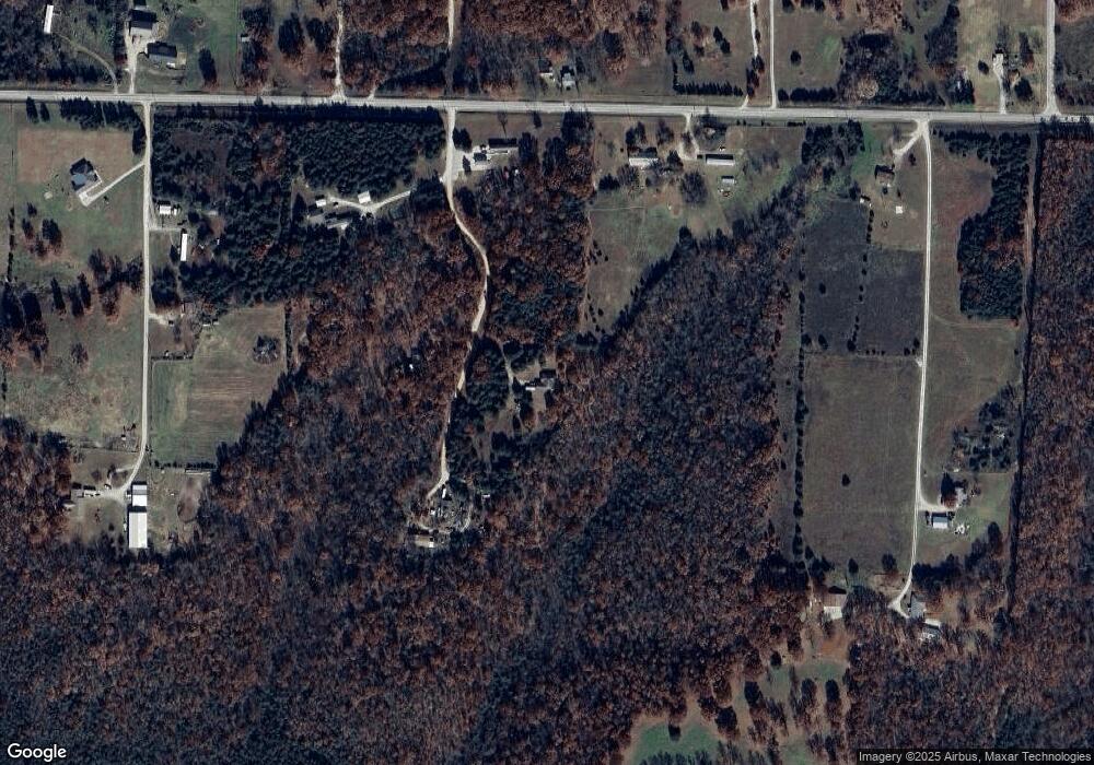
Map
Nearby Homes
- 000 Turtle Tracks Rd
- 157 Oak Crest Dr
- 24 Oak Crest Dr
- 624 N Ranch Rd
- 0000 N Farm Road 229
- 101 Old Hillcrest Rd
- 190 Broam Dr
- 2525 Beacon Hill Loop
- 000 Sparrow Dr
- 302 S Main St
- 633 Madelyn Dr
- 7197 N State Highway 125
- 340 Kellen St
- 318 S Meadowlark St
- 270 S Meadowlark St
- 84 S Rock Ridge St
- 208 Northview Cir W
- 5585 Highway Ab
- 9751 N Farm Road 205
- 41 Lookout Trail
- 9997 N Cloudcrest Ln
- 10081 N Rockin C Ln
- 10047 N Cloudcrest Ln
- 9326 E State Hwy E
- 000 E State Highway Hwy E
- 9891 N Cliffside Ln
- 9241 E State Hwy E
- 9925 N Garwood Ln
- 9285 E State Hwy E
- 10045 N Garwood Ln
- 9957 N Garwood Ln
- 9305 E State Hwy E
- 9365 E State Hwy E
- 0 N Farm Road 247 Unit 10810101
- 0 N Farm Road 247 Unit 10913002
- 0 N Farm Road 247 Unit 11008284
- 0 N Farm Road 247 Unit 11310196
- 0 N Farm Road 247 Unit 11316698
- 0 N Farm Road 247 Unit 60036005
- E State Hwy E
Your Personal Tour Guide
Ask me questions while you tour the home.