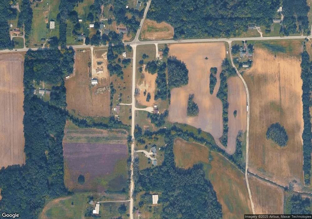
9988 Tuttlehill Rd Maybee, MI 48159
Estimated Value: $231,000 - $301,000
4
Beds
3
Baths
1,784
Sq Ft
$156/Sq Ft
Est. Value
About This Home
This home is located at 9988 Tuttlehill Rd, Maybee, MI 48159 and is currently estimated at $279,145, approximately $156 per square foot. 9988 Tuttlehill Rd is a home located in Monroe County with nearby schools including Dundee Middle School, Dundee Elementary School, and Dundee Community High School.
Ownership History
Date
Name
Owned For
Owner Type
Purchase Details
Closed on
Apr 22, 2021
Sold by
Mills William and Mills Raymond Nicole
Bought by
Mills William
Current Estimated Value
Home Financials for this Owner
Home Financials are based on the most recent Mortgage that was taken out on this home.
Original Mortgage
$170,311
Outstanding Balance
$154,016
Interest Rate
3.1%
Mortgage Type
New Conventional
Estimated Equity
$125,129
Purchase Details
Closed on
Feb 16, 2011
Sold by
Alexander John D and Alexander Julie
Bought by
Mills Willie and Raymond Nicole
Home Financials for this Owner
Home Financials are based on the most recent Mortgage that was taken out on this home.
Original Mortgage
$105,352
Interest Rate
4.78%
Mortgage Type
New Conventional
Create a Home Valuation Report for This Property
The Home Valuation Report is an in-depth analysis detailing your home's value as well as a comparison with similar homes in the area
Purchase History
| Date | Buyer | Sale Price | Title Company |
|---|---|---|---|
| Mills William | -- | First American Title | |
| Mills Willie | $94,500 | -- |
Source: Public Records
Mortgage History
| Date | Status | Borrower | Loan Amount |
|---|---|---|---|
| Open | Mills William | $170,311 | |
| Closed | Mills Willie | $105,352 |
Source: Public Records
Tax History
| Year | Tax Paid | Tax Assessment Tax Assessment Total Assessment is a certain percentage of the fair market value that is determined by local assessors to be the total taxable value of land and additions on the property. | Land | Improvement |
|---|---|---|---|---|
| 2025 | $731 | $122,400 | $122,400 | $0 |
| 2024 | $709 | $117,500 | $0 | $0 |
| 2023 | $675 | $83,600 | $0 | $0 |
| 2022 | $643 | $83,600 | $0 | $0 |
| 2021 | $1,728 | $78,300 | $0 | $0 |
| 2020 | $1,703 | $68,600 | $0 | $0 |
| 2019 | $1,894 | $68,600 | $0 | $0 |
| 2018 | $1,798 | $67,600 | $0 | $0 |
| 2017 | $1,434 | $67,600 | $0 | $0 |
| 2016 | $1,423 | $66,300 | $0 | $0 |
| 2015 | $1,414 | $53,910 | $0 | $0 |
| 2014 | $1,396 | $53,910 | $0 | $0 |
| 2013 | $964 | $50,580 | $0 | $0 |
Source: Public Records
Map
Nearby Homes
- 000 Tuttlehill Rd
- 00 Wells Rd
- 5 Covell Rd
- 0 Grames Rd Unit 25040792
- 14235 Wanty Rd
- 8844 Weldwood Dr
- 8655 Ida Maybee Rd
- 8650 Stone Rd
- 2 Covell
- 7 Covell Rd
- 4 Covell Rd
- 3 Covell
- 6 Covell Rd
- 11121 Darling Rd
- 11329 Crowe Rd
- 6859 N Ann Arbor Rd
- 0 Crowe Rd Unit 24008212
- 769 Falcon Dr
- 7844 Kreps Dr
- 14700 Darling Rd
- 9999 Tuttlehill Rd
- 9910 Tuttlehill Rd
- 11991 Ostrander Rd
- 12159 Ostrander Rd
- 12119 Ostrander Rd
- Vacant Ostrander Rd
- 12217 Ostrander Rd
- 0 Ostrander Rd Unit 4167802
- 2 Ostrander Rd
- 0 Ostrander Rd Unit 50168738
- 0 Ostrander Rd Unit 23036355
- 0 Ostrander Rd Unit 23291
- 0 Ostrander Rd Unit 50107308
- 0 Ostrander Rd Unit 3287951
- 0 Ostrander Rd Unit 3287588
- 0 Ostrander Rd Unit R2200061694
- 0 Ostrander Rd Unit 905131
- 12100 Ostrander Rd
- 9830 Tuttlehill Rd
- 10143 Tuttlehill Rd
Your Personal Tour Guide
Ask me questions while you tour the home.
