Estimated Value: $180,000 - $190,000
3
Beds
1
Bath
962
Sq Ft
$193/Sq Ft
Est. Value
About This Home
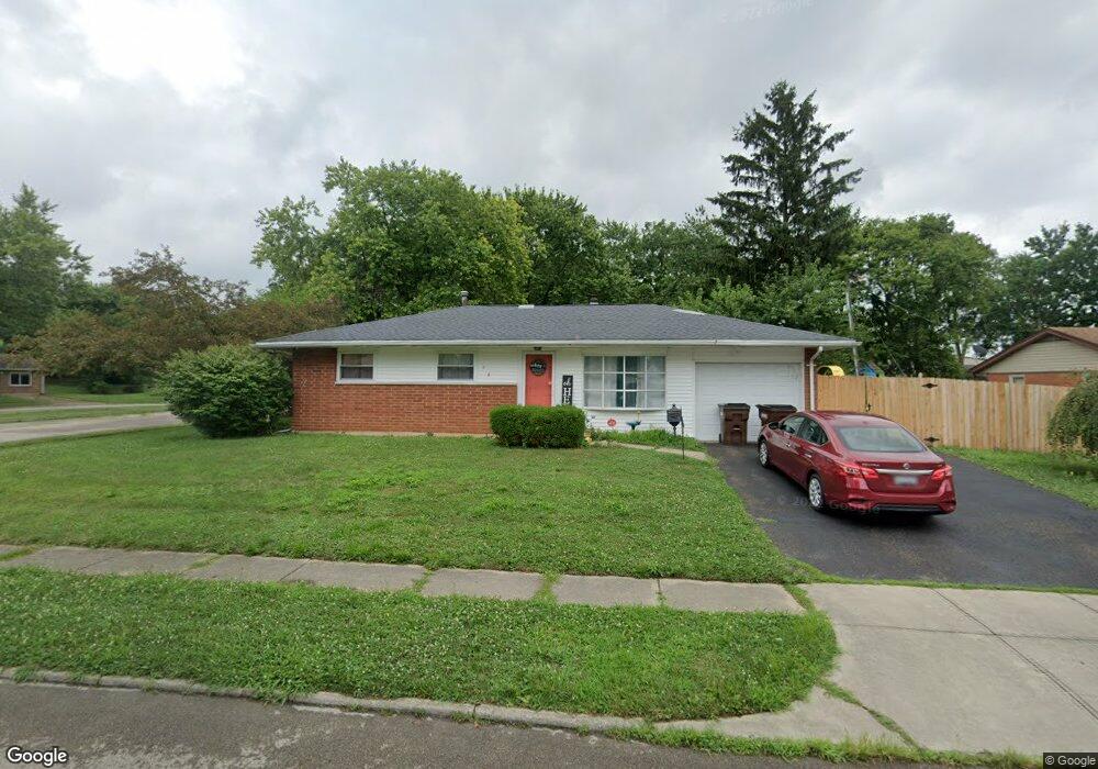
This home is located at 999 Buckskin Trail, Xenia, OH 45385 and is currently estimated at $185,384, approximately $192 per square foot. 999 Buckskin Trail is a home located in Greene County with nearby schools including Xenia High School, Summit Academy Community School for Alternative Learners - Xenia, and Legacy Christian Academy.
Ownership History
Date
Name
Owned For
Owner Type
Purchase Details
Closed on
Aug 31, 2017
Sold by
Scholl Lora B and Sawyer Lora B
Bought by
Webb Dakota
Current Estimated Value
Home Financials for this Owner
Home Financials are based on the most recent Mortgage that was taken out on this home.
Original Mortgage
$5,000
Outstanding Balance
$4,179
Interest Rate
3.93%
Mortgage Type
Second Mortgage Made To Cover Down Payment
Estimated Equity
$181,205
Purchase Details
Closed on
Sep 2, 2004
Sold by
Sawyer Gary M
Bought by
Sawyer Lora B
Create a Home Valuation Report for This Property
The Home Valuation Report is an in-depth analysis detailing your home's value as well as a comparison with similar homes in the area
Home Values in the Area
Average Home Value in this Area
Purchase History
| Date | Buyer | Sale Price | Title Company |
|---|---|---|---|
| Webb Dakota | $100,000 | None Available | |
| Sawyer Lora B | -- | -- |
Source: Public Records
Mortgage History
| Date | Status | Borrower | Loan Amount |
|---|---|---|---|
| Open | Webb Dakota | $5,000 | |
| Open | Webb Dakota | $98,188 |
Source: Public Records
Tax History Compared to Growth
Tax History
| Year | Tax Paid | Tax Assessment Tax Assessment Total Assessment is a certain percentage of the fair market value that is determined by local assessors to be the total taxable value of land and additions on the property. | Land | Improvement |
|---|---|---|---|---|
| 2024 | $2,302 | $53,790 | $11,140 | $42,650 |
| 2023 | $2,302 | $53,790 | $11,140 | $42,650 |
| 2022 | $1,922 | $38,310 | $6,550 | $31,760 |
| 2021 | $1,948 | $38,310 | $6,550 | $31,760 |
| 2020 | $1,866 | $38,310 | $6,550 | $31,760 |
| 2019 | $1,536 | $29,680 | $6,450 | $23,230 |
| 2018 | $1,542 | $29,680 | $6,450 | $23,230 |
| 2017 | $1,457 | $29,680 | $6,450 | $23,230 |
| 2016 | $1,367 | $26,520 | $6,450 | $20,070 |
| 2015 | $1,370 | $26,520 | $6,450 | $20,070 |
| 2014 | $1,311 | $26,520 | $6,450 | $20,070 |
Source: Public Records
Map
Nearby Homes
- 1208 Bellbrook Ave
- 1272 Bellbrook Ave
- 1618 Navajo Dr
- 1708 Ottawa Dr
- 1454 Kylemore Dr
- 1653 Seneca Dr
- 1342 Kylemore Dr
- 1568 Cheyenne Dr
- 1881 Commonwealth Dr
- 1766 Gayhart Dr
- 1829 Gayhart Dr
- 646 Glady Ave
- 1223 June Dr
- 1283 June Dr
- 1908 Whitt St
- 1391 June Dr
- 1255 Colorado Dr
- 305-325 Bellbrook Ave
- 1861 Iowa Dr
- 530 Cincinnati Ave
- 991 Deerfield Ct
- 1015 Buckskin Trail
- 1029 Buckskin Trail
- 985 Deerfield Ct
- 994 Buckskin Trail
- 1006 Buckskin Trail
- 980 Buckskin Trail
- 959 Buckskin Trail
- 1041 Buckskin Trail
- 968 Buckskin Trail
- 973 Deerfield Ct
- 1032 Buckskin Trail
- 979 Deerfield Ct
- 1196 Bellbrook Ave
- 1222 Bellbrook Ave
- 1182 Bellbrook Ave
- 954 Buckskin Trail
- 1055 Buckskin Trail
- 1046 Buckskin Trail
- 1234 Bellbrook Ave