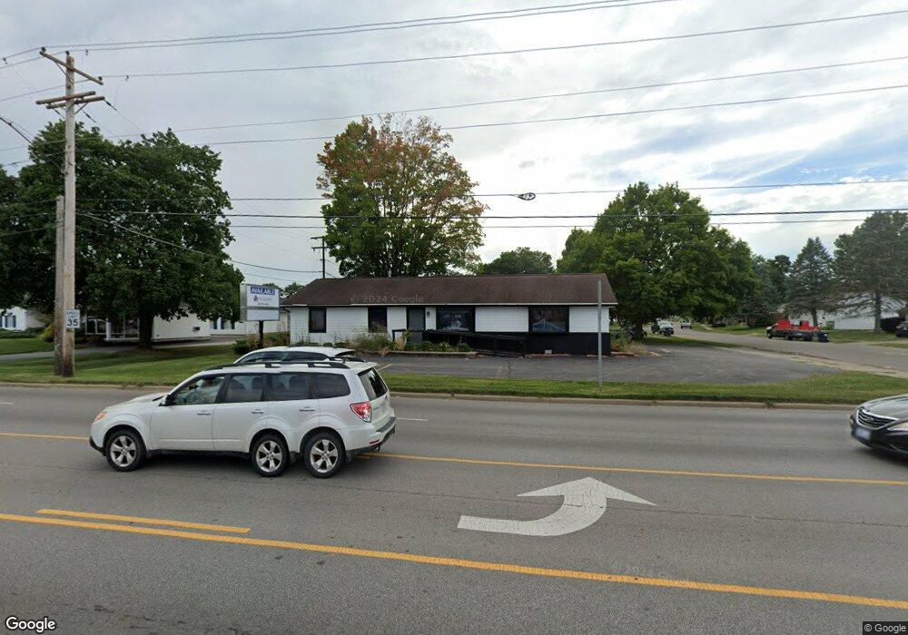
999 N 21st St Newark, OH 43055
Estimated Value: $452,488
Studio
--
Bath
1,560
Sq Ft
$290/Sq Ft
Est. Value
About This Home
This home is located at 999 N 21st St, Newark, OH 43055 and is currently estimated at $452,488, approximately $290 per square foot. 999 N 21st St is a home located in Licking County with nearby schools including Legend Elementary School, Liberty Middle School, and Newark High School.
Ownership History
Date
Name
Owned For
Owner Type
Purchase Details
Closed on
Oct 31, 2017
Sold by
Mccarthy James F and Mccarthy Gloria J
Bought by
Gaudio Holdings Llc
Current Estimated Value
Home Financials for this Owner
Home Financials are based on the most recent Mortgage that was taken out on this home.
Original Mortgage
$180,000
Outstanding Balance
$125,267
Interest Rate
3.83%
Mortgage Type
Future Advance Clause Open End Mortgage
Estimated Equity
$327,221
Create a Home Valuation Report for This Property
The Home Valuation Report is an in-depth analysis detailing your home's value as well as a comparison with similar homes in the area
Home Values in the Area
Average Home Value in this Area
Purchase History
| Date | Buyer | Sale Price | Title Company |
|---|---|---|---|
| Gaudio Holdings Llc | $225,000 | None Available |
Source: Public Records
Mortgage History
| Date | Status | Borrower | Loan Amount |
|---|---|---|---|
| Open | Gaudio Holdings Llc | $180,000 |
Source: Public Records
Tax History
| Year | Tax Paid | Tax Assessment Tax Assessment Total Assessment is a certain percentage of the fair market value that is determined by local assessors to be the total taxable value of land and additions on the property. | Land | Improvement |
|---|---|---|---|---|
| 2024 | $3,313 | $80,370 | $36,580 | $43,790 |
| 2023 | $4,282 | $80,370 | $36,580 | $43,790 |
| 2022 | $2,499 | $52,500 | $31,850 | $20,650 |
| 2021 | $2,633 | $52,500 | $31,850 | $20,650 |
| 2020 | $2,681 | $52,500 | $31,850 | $20,650 |
| 2019 | $2,697 | $52,500 | $31,850 | $20,650 |
| 2018 | $2,718 | $0 | $0 | $0 |
| 2017 | $2,393 | $0 | $0 | $0 |
| 2016 | $2,156 | $0 | $0 | $0 |
| 2015 | $2,207 | $0 | $0 | $0 |
| 2014 | $2,532 | $0 | $0 | $0 |
| 2013 | $2,126 | $0 | $0 | $0 |
Source: Public Records
Map
Nearby Homes
- 731 Grafton Rd
- 584 Moull St Unit A
- 508 Moull St
- 1001 Kingsbury Ct Unit 1001
- 188 Meadow Dr
- 184 Meadow Dr
- 222 Bachmann Ave
- 476 W Shields St
- 730 Maxola Ave
- 189 N Quentin Rd
- 158 English Ave
- 565 Granville St
- 655 Evans St
- 32 Cottage St
- 574 Blakeley Place Unit 574
- 34 Charles St
- 408 Granville St
- 567 Kibler Ave
- 979 Granville Rd
- 11 Waterworks Rd
- 405 Jackson Blvd
- 411 Jackson Blvd
- 1023 N 21st St
- 1000 N 21st St
- 406 Jackson Blvd
- 998 N 21st St
- 417 Jackson Blvd
- 412 Jackson Blvd
- 420 Jackson Blvd
- 1033 N 21st St
- 423 Jackson Blvd
- 507 Catalina Dr Unit D5
- 994 Cleveland Ave
- 994 Cleveland Ave Unit 4
- 426 Jackson Blvd
- 1004 Cleveland Ave
- 984 Cleveland Ave
- 976 Cleveland Ave
- 483 Catalina Dr
- 487 Catalina Dr Unit C6
Your Personal Tour Guide
Ask me questions while you tour the home.