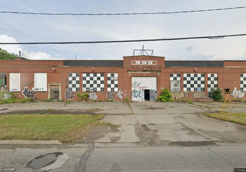
999 N Dort Hwy Flint, MI 48506
Eastside NeighborhoodEstimated Value: $284,532
--
Bed
--
Bath
47,000
Sq Ft
$6/Sq Ft
Est. Value
About This Home
This home is located at 999 N Dort Hwy, Flint, MI 48506 and is currently estimated at $284,532, approximately $6 per square foot. 999 N Dort Hwy is a home located in Genesee County with nearby schools including Potter School, Flint Cultural Center Academy, and WAY Academy of Flint.
Ownership History
Date
Name
Owned For
Owner Type
Purchase Details
Closed on
Dec 18, 2014
Sold by
999 Dort Llc
Bought by
Love Holdings Llc
Current Estimated Value
Purchase Details
Closed on
Oct 9, 2013
Sold by
The Genesee County Land Bank Authority
Bought by
999 Dort Llc
Home Financials for this Owner
Home Financials are based on the most recent Mortgage that was taken out on this home.
Original Mortgage
$73,600
Interest Rate
7%
Mortgage Type
Seller Take Back
Purchase Details
Closed on
Dec 20, 2012
Sold by
Cherry Deborah L and Genesee County Treasurer
Bought by
Genesee County Land Bank
Create a Home Valuation Report for This Property
The Home Valuation Report is an in-depth analysis detailing your home's value as well as a comparison with similar homes in the area
Home Values in the Area
Average Home Value in this Area
Purchase History
| Date | Buyer | Sale Price | Title Company |
|---|---|---|---|
| Love Holdings Llc | $145,000 | Mason Burgess Title | |
| 999 Dort Llc | $92,000 | Mason Burgess Title | |
| 999 Dort Llc | $92,000 | None Available | |
| Genesee County Land Bank | -- | None Available |
Source: Public Records
Mortgage History
| Date | Status | Borrower | Loan Amount |
|---|---|---|---|
| Previous Owner | 999 Dort Llc | $73,600 |
Source: Public Records
Tax History Compared to Growth
Tax History
| Year | Tax Paid | Tax Assessment Tax Assessment Total Assessment is a certain percentage of the fair market value that is determined by local assessors to be the total taxable value of land and additions on the property. | Land | Improvement |
|---|---|---|---|---|
| 2025 | $6,916 | $85,200 | $0 | $0 |
| 2024 | $6,258 | $96,000 | $0 | $0 |
| 2023 | $6,002 | $91,300 | $0 | $0 |
| 2022 | $0 | $90,200 | $0 | $0 |
| 2021 | $6,583 | $89,600 | $0 | $0 |
| 2020 | $6,018 | $90,300 | $0 | $0 |
| 2019 | $12,521 | $205,600 | $0 | $0 |
| 2018 | $23,554 | $413,600 | $0 | $0 |
| 2017 | $22,692 | $0 | $0 | $0 |
| 2016 | $22,490 | $0 | $0 | $0 |
| 2015 | -- | $0 | $0 | $0 |
| 2012 | -- | $333,600 | $0 | $0 |
Source: Public Records
Map
Nearby Homes
- 2605 Nebraska Ave
- 2426 Missouri Ave
- 2610 Pennsylvania Ave
- 301 Chandler St
- 406 S Lynch St
- 2301 Missouri Ave
- 524 S Lynch St
- 618 S Meade St
- 1510 N Vernon Ave
- 605 S Lynch St
- 622 Chalmers St
- 1501 Arlington Ave
- 1622 Arlington Ave
- 2131 Windemere Ave
- 2208 Windemere Ave
- 2202 Windemere Ave
- 1318 Cronk Ave
- 2013 E Court St
- 1644 Pennsylvania Ave
- 2122 Pierce St
- 2617 Kansas Ave
- 1001 N Dort Hwy
- 2613 Kansas Ave
- 2609 Kansas Ave
- 2605 Kansas Ave
- 2618 Nebraska Ave
- 2614 Nebraska Ave
- 2601 Kansas Ave
- 2606 Nebraska Ave
- 2513 Kansas Ave
- 2509 Kansas Ave
- 2602 Nebraska Ave
- 2514 Nebraska Ave
- 2505 Kansas Ave
- 2702 Robert T Longway #5 Blvd Unit 5
- 1109 N Dort Hwy
- 2510 Nebraska Ave
- 1101 N Meade St
- 2501 Kansas Ave
- 2702 Robert T Longway Blvd