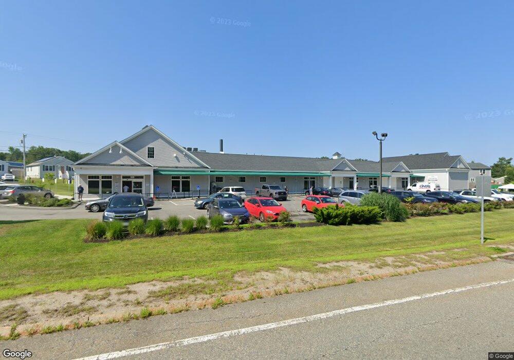
999 William s Canning Blvd Fall River, MA 02721
Maplewood NeighborhoodEstimated Value: $2,929,166
--
Bed
--
Bath
15,490
Sq Ft
$189/Sq Ft
Est. Value
About This Home
This home is located at 999 William s Canning Blvd, Fall River, MA 02721 and is currently estimated at $2,929,166, approximately $189 per square foot. 999 William s Canning Blvd is a home located in Bristol County with nearby schools including Henry Lord Community School, B M C Durfee High School, and Atlantis Charter School.
Ownership History
Date
Name
Owned For
Owner Type
Purchase Details
Closed on
Mar 26, 2019
Sold by
Jh Holdings Group Llc
Bought by
999 Canning Blvd Llc
Current Estimated Value
Purchase Details
Closed on
Dec 22, 2017
Sold by
Commonwealth Ests Inve
Bought by
Jh Holdings Group Llc
Create a Home Valuation Report for This Property
The Home Valuation Report is an in-depth analysis detailing your home's value as well as a comparison with similar homes in the area
Home Values in the Area
Average Home Value in this Area
Purchase History
| Date | Buyer | Sale Price | Title Company |
|---|---|---|---|
| 999 Canning Blvd Llc | -- | -- | |
| Jh Holdings Group Llc | $1,400,000 | -- |
Source: Public Records
Tax History Compared to Growth
Tax History
| Year | Tax Paid | Tax Assessment Tax Assessment Total Assessment is a certain percentage of the fair market value that is determined by local assessors to be the total taxable value of land and additions on the property. | Land | Improvement |
|---|---|---|---|---|
| 2025 | $56,365 | $2,365,300 | $740,700 | $1,624,600 |
| 2024 | $55,845 | $2,332,700 | $710,700 | $1,622,000 |
| 2023 | $60,191 | $2,336,600 | $705,800 | $1,630,800 |
| 2022 | $63,158 | $2,336,600 | $705,800 | $1,630,800 |
| 2021 | $52,786 | $1,777,300 | $516,700 | $1,260,600 |
| 2020 | $44,504 | $1,453,900 | $580,400 | $873,500 |
| 2019 | $41,063 | $1,309,400 | $580,400 | $729,000 |
| 2018 | $29,723 | $955,100 | $379,100 | $576,000 |
| 2017 | $21,724 | $709,000 | $379,100 | $329,900 |
| 2016 | $20,653 | $709,000 | $379,100 | $329,900 |
| 2015 | $1,742 | $133,200 | $133,200 | $0 |
| 2014 | $1,676 | $133,200 | $133,200 | $0 |
Source: Public Records
Map
Nearby Homes
- 0 Stafford Rd Unit 73431501
- 0 Stafford Rd Unit 1393774
- 1441 Stafford Rd
- 185 Stafford Rd
- 255-263 William
- 0 Wood St
- 54 Pondview Dr
- 343 Ludlow St
- 4 Bronson St
- 24 Bronson St
- 20 Bronson St
- 16 Bronson St
- 12 Bronson St
- 8 Bronson St
- 498 Tower St
- 17 Lynwood St
- 495 Chicago St
- 206 Songbird Ln
- 47 Detroit St
- 6 Detroit St
- 74 Commonwealth Ave
- 84 Commonwealth Ave
- 43 Commonwealth Ave
- 53 Commonwealth Ave
- 63 Commonwealth Ave
- 73 Commonwealth Ave
- 26 Heritage Ct
- 36 Heritage Ct
- 16 Heritage Ct
- 217 Napoleon St
- 83 Commonwealth Ave
- 46 Heritage Ct
- 201 Napoleon St
- 93 Commonwealth Ave
- 103 Commonwealth Ave
- 250 Napoleon St
- 197 Sterling St
- 22 Edmund St
- 52 Heritage Ct
- 29 Heritage Ct