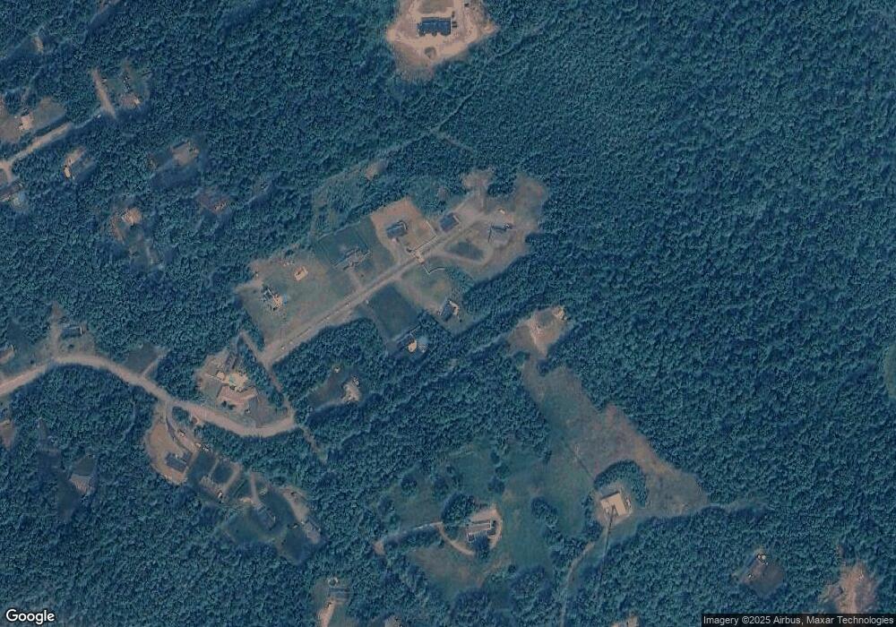
99A Campbell St Rutland, MA 01543
Estimated Value: $631,000 - $705,000
3
Beds
3
Baths
2,296
Sq Ft
$291/Sq Ft
Est. Value
About This Home
This home is located at 99A Campbell St, Rutland, MA 01543 and is currently estimated at $669,152, approximately $291 per square foot. 99A Campbell St is a home with nearby schools including Wachusett Regional High School.
Create a Home Valuation Report for This Property
The Home Valuation Report is an in-depth analysis detailing your home's value as well as a comparison with similar homes in the area
Home Values in the Area
Average Home Value in this Area
Tax History Compared to Growth
Tax History
| Year | Tax Paid | Tax Assessment Tax Assessment Total Assessment is a certain percentage of the fair market value that is determined by local assessors to be the total taxable value of land and additions on the property. | Land | Improvement |
|---|---|---|---|---|
| 2025 | $7,818 | $549,000 | $98,800 | $450,200 |
| 2024 | $7,789 | $525,200 | $94,800 | $430,400 |
| 2023 | $7,193 | $524,300 | $89,500 | $434,800 |
| 2022 | $6,722 | $425,700 | $75,800 | $349,900 |
| 2021 | $6,520 | $390,400 | $75,800 | $314,600 |
| 2020 | $7,021 | $398,700 | $72,000 | $326,700 |
| 2019 | $2,929 | $163,700 | $68,600 | $95,100 |
| 2018 | $6,552 | $361,400 | $68,600 | $292,800 |
| 2017 | $1,257 | $68,600 | $68,600 | $0 |
| 2016 | $1,134 | $65,300 | $65,300 | $0 |
Source: Public Records
Map
Nearby Homes
- 35 Brintnal Dr
- 73 Brintnal Dr
- 2 Simon Davis Dr
- 101 Brintnal Dr
- 175 Glenwood Rd
- 81 Glenwood Place
- 271 Glenwood Rd
- 40 Brunelle Dr
- 16 Richards Ave
- 25 Watson Ln
- 139 E County Rd Unit 139
- 147 E County Rd Unit 149
- 55 Pommogussett Rd
- 5 Miles Rd
- 32 Pommogussett Rd Unit 1
- 10 Soucy Dr
- 47 Woodside Ave
- 51 Woodside Ave
- 28 Forest Hill Dr
- 11 Lewis St
- 91 Campbell St
- 89 Campbell St
- 94 Campbell St
- Lot 1 Campbell St
- 98 Campbell St
- 85 Campbell St
- 3 Forbes Rd
- 93 Campbell St
- 0 Campbell St Unit 30702466
- 8 Thurston Hill Rd
- 84 Campbell St
- 95A Campbell St
- 95 Campbell St
- 3 Campbell Ct
- 10 Thurston Hill Rd
- 7 Forbes Rd
- 82 Campbell St
- 4 Thurston Hill Rd
- 99 Campbell St
- 6 Forbes Rd
