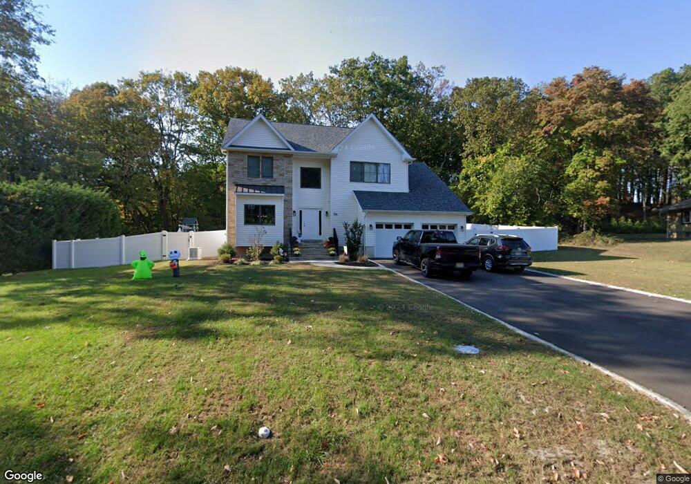
9A Mcbride Rd Manalapan, NJ 07726
Estimated Value: $884,000 - $898,000
4
Beds
3
Baths
2,400
Sq Ft
$371/Sq Ft
Est. Value
About This Home
This home is located at 9A Mcbride Rd, Manalapan, NJ 07726 and is currently estimated at $890,036, approximately $370 per square foot. 9A Mcbride Rd is a home located in Monmouth County with nearby schools including Barclay Brook Elementary School, Brookside Elementary School, and Monroe Township Middle School.
Ownership History
Date
Name
Owned For
Owner Type
Purchase Details
Closed on
Dec 5, 2022
Sold by
Akal Properties Llc
Bought by
Knox Frank and Knox Karen
Current Estimated Value
Purchase Details
Closed on
Mar 19, 2021
Sold by
Pate Pushpa K
Bought by
Akal Properties Llc
Purchase Details
Closed on
Sep 30, 2005
Sold by
Works Of Wishes Llc
Bought by
Patel Pushpa
Purchase Details
Closed on
Nov 7, 2002
Sold by
Pagano Andrew
Bought by
Works Of Wishes Llc
Create a Home Valuation Report for This Property
The Home Valuation Report is an in-depth analysis detailing your home's value as well as a comparison with similar homes in the area
Home Values in the Area
Average Home Value in this Area
Purchase History
| Date | Buyer | Sale Price | Title Company |
|---|---|---|---|
| Knox Frank | $735,000 | Chicago Title | |
| Knox Frank | $735,000 | Chicago Title | |
| Akal Properties Llc | $170,000 | Foundation Title Llc | |
| Akal Properties Llc | $170,000 | Foundation Title | |
| Patel Pushpa | -- | -- | |
| Works Of Wishes Llc | $30,000 | -- |
Source: Public Records
Tax History Compared to Growth
Tax History
| Year | Tax Paid | Tax Assessment Tax Assessment Total Assessment is a certain percentage of the fair market value that is determined by local assessors to be the total taxable value of land and additions on the property. | Land | Improvement |
|---|---|---|---|---|
| 2025 | $11,740 | $794,500 | $259,000 | $535,500 |
| 2024 | $2,827 | $695,500 | $169,000 | $526,500 |
| 2023 | $2,827 | $170,000 | $170,000 | $0 |
| 2022 | $1,158 | $170,000 | $170,000 | $0 |
| 2021 | $1,158 | $55,600 | $55,600 | $0 |
| 2020 | $1,145 | $55,600 | $55,600 | $0 |
| 2019 | $1,147 | $55,600 | $55,600 | $0 |
| 2018 | $1,154 | $55,600 | $55,600 | $0 |
| 2017 | $1,154 | $55,600 | $55,600 | $0 |
| 2016 | $1,142 | $55,600 | $55,600 | $0 |
| 2015 | $1,154 | $55,600 | $55,600 | $0 |
| 2014 | $1,150 | $54,000 | $54,000 | $0 |
Source: Public Records
Map
Nearby Homes
- 2605 Charleston Dr
- 3504 Charleston Dr
- 12 Emily Rd
- 0 Tracy Station Rd
- 23 Crooked Stick Place
- 44 Kings Mill Rd
- 56 Kings Mill Rd
- 83 Crimson Dr
- Yorktown Plan at Manalapan Grove
- 52 Crimson Dr
- 15 Lone Star Ln
- 29 Wilson Ave
- 21 Lone Star Ln
- 0 Private St Unit 22508862
- 13 Lasatta Ave
- 39 Crimson Dr
- 7 Riviera Dr
- 44 Federal Rd
- 32 Primrose Ct
- 22 Primrose Ct
- 9 Mcbride Rd
- 9 Mc Bride Rd
- 9-11 Mc Bride Rd Unit 4
- 0 Mcbride Rd Unit Lots 1,5,10 22202900
- 0 Mcbride Rd Unit NJMM110982
- 00 Mcbride Rd
- 0 Mcbride Rd Unit 21942375
- 0 Mcbride Rd Unit 21942368
- 7 Mc Bride Rd
- 8 Lewis St
- 6 Lewis St
- 11 Mcbride Rd
- 8 Mcbride Rd
- 3 Mcbride Rd
- 10 Lewis St
- 6 Mcbride Rd
- 4 Mcbride Rd
- 2812 Hayden Ct
- 98 Wood Ave
- 2810 Hayden Ct