9N270 Percy Rd Maple Park, IL 60151
Estimated Value: $289,000
4
Beds
2
Baths
2,318
Sq Ft
$125/Sq Ft
Est. Value
About This Home
This home is located at 9N270 Percy Rd, Maple Park, IL 60151 and is currently priced at $289,000, approximately $124 per square foot. 9N270 Percy Rd is a home located in Kane County with nearby schools including Sycamore High School.
Ownership History
Date
Name
Owned For
Owner Type
Purchase Details
Closed on
Mar 22, 2019
Sold by
Thurnau Beverly J
Bought by
Pfund Kurt and Pfund Jessica
Current Estimated Value
Home Financials for this Owner
Home Financials are based on the most recent Mortgage that was taken out on this home.
Original Mortgage
$100,000
Interest Rate
2.55%
Mortgage Type
Purchase Money Mortgage
Purchase Details
Closed on
Jun 20, 2014
Sold by
Thurnau Beverly Jean and Thurnau Beverly J
Bought by
Thurnau Beverly J and Pfund Kurt
Home Financials for this Owner
Home Financials are based on the most recent Mortgage that was taken out on this home.
Original Mortgage
$250,000
Interest Rate
4.25%
Mortgage Type
New Conventional
Purchase Details
Closed on
Jun 19, 2014
Sold by
Thurnau Daniel
Bought by
Thurnau Beverly
Home Financials for this Owner
Home Financials are based on the most recent Mortgage that was taken out on this home.
Original Mortgage
$250,000
Interest Rate
4.25%
Mortgage Type
New Conventional
Create a Home Valuation Report for This Property
The Home Valuation Report is an in-depth analysis detailing your home's value as well as a comparison with similar homes in the area
Home Values in the Area
Average Home Value in this Area
Purchase History
| Date | Buyer | Sale Price | Title Company |
|---|---|---|---|
| Pfund Kurt | $100,000 | None Available | |
| Thurnau Beverly J | -- | Fox Title Company | |
| Thurnau Beverly | -- | Fox Title Company |
Source: Public Records
Mortgage History
| Date | Status | Borrower | Loan Amount |
|---|---|---|---|
| Closed | Pfund Kurt | $100,000 | |
| Previous Owner | Thurnau Beverly J | $250,000 |
Source: Public Records
Tax History
| Year | Tax Paid | Tax Assessment Tax Assessment Total Assessment is a certain percentage of the fair market value that is determined by local assessors to be the total taxable value of land and additions on the property. | Land | Improvement |
|---|---|---|---|---|
| 2021 | $14,145 | $170,390 | $46,160 | $124,230 |
| 2019 | $7,944 | $119,928 | $21,474 | $98,454 |
| 2018 | $7,539 | $113,633 | $20,347 | $93,286 |
| 2017 | $741,561 | $108,480 | $19,424 | $89,056 |
| 2016 | $7,793 | $84,258 | $18,276 | $65,982 |
| 2015 | -- | $72,366 | $17,776 | $54,590 |
| 2014 | -- | $82,372 | $17,879 | $64,493 |
| 2013 | -- | $78,473 | $18,622 | $59,851 |
Source: Public Records
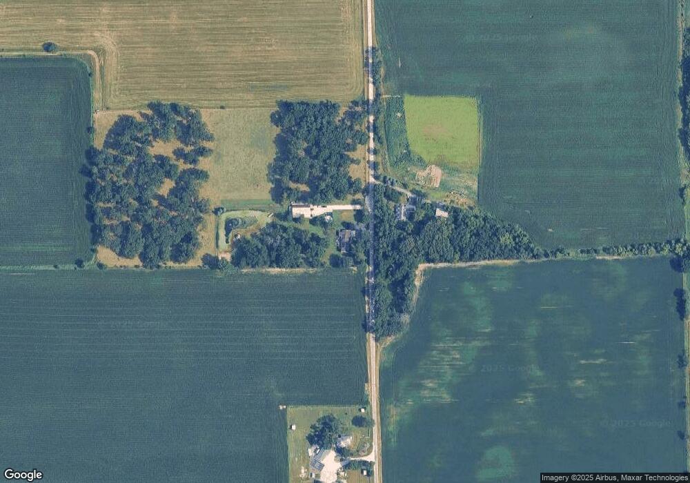
Map
Nearby Homes
- 11N315 Mcgough Rd
- 17128 Lukens Rd
- 0 Plank Rd
- 0 Plank Rd
- 49W972 Peterson Rd
- 300 Rolling Oaks Dr
- LOT 5 Rolling Oaks Dr
- 8N153 Grand Arbor Ln
- 00 Welter Rd
- 254 Old Plank Rd
- 16038 Quigley Rd
- Lot 3 Hickory Cir
- 5N487 County Line Rd
- 0 Winters Rd
- 1823 Constitution St
- 000 Winters Rd
- 15165 Quigley Rd
- 2337 Coventry Cir S
- 723 Nancy Ct Unit 2
- TBD Bethany Rd
- 9N270 Percy Rd
- 9N301 Percy Rd
- 9N100 Percy Rd
- 48W849 Middleton Rd
- 9N152 Barron Rd
- 9N252 Barron Rd
- 49W677 Middleton Rd
- 13 Middleton Rd
- 49W666 Middleton Rd
- 9N054 Barron Rd
- 9N380 Barron Rd
- 49W680 Middleton Rd
- 8N711 Percy Rd
- 8N680 Percy Rd
- 9N047 Barron Rd
- 9n321 Barron Rd
- 8N606 Percy Rd
- 49W237 Ellithorpe Rd
- 49W105 Ellithorpe Rd
- 8N492 Percy Rd
Your Personal Tour Guide
Ask me questions while you tour the home.