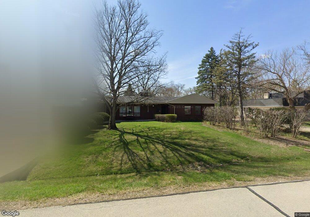
9S720 William Dr Unit 2 Burr Ridge, IL 60527
Waterfall Glen NeighborhoodEstimated Value: $543,000 - $571,000
--
Bed
--
Bath
2,179
Sq Ft
$254/Sq Ft
Est. Value
About This Home
This home is located at 9S720 William Dr Unit 2, Burr Ridge, IL 60527 and is currently estimated at $552,386, approximately $253 per square foot. 9S720 William Dr Unit 2 is a home located in DuPage County with nearby schools including Concord Elementary School, Cass Jr High School, and Hinsdale South High School.
Ownership History
Date
Name
Owned For
Owner Type
Purchase Details
Closed on
Sep 14, 1998
Sold by
Daniels Albert J and Daniels Judith A
Bought by
Coffey Kenneth M and Coffey Ann S
Current Estimated Value
Home Financials for this Owner
Home Financials are based on the most recent Mortgage that was taken out on this home.
Original Mortgage
$224,100
Outstanding Balance
$48,162
Interest Rate
6.97%
Estimated Equity
$504,224
Create a Home Valuation Report for This Property
The Home Valuation Report is an in-depth analysis detailing your home's value as well as a comparison with similar homes in the area
Home Values in the Area
Average Home Value in this Area
Purchase History
| Date | Buyer | Sale Price | Title Company |
|---|---|---|---|
| Coffey Kenneth M | $249,000 | -- |
Source: Public Records
Mortgage History
| Date | Status | Borrower | Loan Amount |
|---|---|---|---|
| Open | Coffey Kenneth M | $224,100 |
Source: Public Records
Tax History Compared to Growth
Tax History
| Year | Tax Paid | Tax Assessment Tax Assessment Total Assessment is a certain percentage of the fair market value that is determined by local assessors to be the total taxable value of land and additions on the property. | Land | Improvement |
|---|---|---|---|---|
| 2024 | $9,361 | $164,650 | $66,726 | $97,924 |
| 2023 | $9,007 | $151,360 | $61,340 | $90,020 |
| 2022 | $8,643 | $145,380 | $58,920 | $86,460 |
| 2021 | $7,961 | $143,730 | $58,250 | $85,480 |
| 2020 | $7,844 | $140,890 | $57,100 | $83,790 |
| 2019 | $7,569 | $135,190 | $54,790 | $80,400 |
| 2018 | $6,948 | $128,150 | $54,500 | $73,650 |
| 2017 | $6,868 | $123,310 | $52,440 | $70,870 |
| 2016 | $6,149 | $108,870 | $50,050 | $58,820 |
| 2015 | $6,029 | $102,430 | $47,090 | $55,340 |
| 2014 | $6,301 | $105,570 | $45,780 | $59,790 |
| 2013 | $8,008 | $137,130 | $45,570 | $91,560 |
Source: Public Records
Map
Nearby Homes
- 242 Highland Rd
- 17W033 87th St
- 124 Sunrise Ave
- 17W085 Elm Ct
- 313 83rd St
- 8625 Meadowbrook Dr
- 17W060 Burr Oak Ln
- 8320 Highpoint Cir Unit 8230-F
- 8673 Timber Ridge Dr
- 8301 Highpoint Cir Unit C
- 16W130 89th St
- 10S220 Hampshire Ln W
- 10S111 Leonard Dr
- 16W540 Lake Dr Unit 9-104
- 8081 Tennessee Ave
- 16W234 91st St
- 13 Kingery Quarter Unit 106B
- 7976 Clarendon Hills Rd
- 17A Kingery Quarter Unit 102
- 14B Kingery Quarter Unit 207
- 9S706 William Dr
- 9S732 William Dr
- 9S680 William Dr
- 9S711 William Dr
- 9S750 William Dr
- 9S681 William Dr
- 9S731 William Dr
- 9S664 William Dr
- 9S737 William Dr
- 9S665 William Dr
- 9S758 William Dr
- 9S721 Brookbank Rd
- 9S731 Brookbank Rd
- 9S711 Brookbank Rd
- 8535 Brookbank Rd
- 9S765 William Dr
- 410 Highland Rd
- 9S654 William Dr
- 9S749 Brookbank Rd
- 9S655 William Dr