A205 Summit Dr Unit 205A Bryn Mawr, PA 19010
Estimated Value: $422,000 - $471,000
2
Beds
2
Baths
1,325
Sq Ft
$336/Sq Ft
Est. Value
About This Home
This home is located at A205 Summit Dr Unit 205A, Bryn Mawr, PA 19010 and is currently estimated at $444,837, approximately $335 per square foot. A205 Summit Dr Unit 205A is a home located in Delaware County with nearby schools including Ithan Elementary School, Radnor Middle School, and Radnor Senior High School.
Ownership History
Date
Name
Owned For
Owner Type
Purchase Details
Closed on
Jul 14, 2016
Sold by
Ryan Anne T
Bought by
Mack Catherine
Current Estimated Value
Home Financials for this Owner
Home Financials are based on the most recent Mortgage that was taken out on this home.
Original Mortgage
$75,000
Outstanding Balance
$59,795
Interest Rate
3.54%
Mortgage Type
New Conventional
Estimated Equity
$385,042
Purchase Details
Closed on
Jun 9, 2013
Sold by
Roche Priscilla
Bought by
Ryan Anne T
Home Financials for this Owner
Home Financials are based on the most recent Mortgage that was taken out on this home.
Original Mortgage
$161,250
Interest Rate
3.97%
Mortgage Type
New Conventional
Purchase Details
Closed on
Feb 1, 2001
Sold by
Potts John H
Bought by
Roche Priscilla
Create a Home Valuation Report for This Property
The Home Valuation Report is an in-depth analysis detailing your home's value as well as a comparison with similar homes in the area
Home Values in the Area
Average Home Value in this Area
Purchase History
| Date | Buyer | Sale Price | Title Company |
|---|---|---|---|
| Mack Catherine | $270,000 | None Available | |
| Ryan Anne T | $215,000 | None Available | |
| Roche Priscilla | $153,000 | -- |
Source: Public Records
Mortgage History
| Date | Status | Borrower | Loan Amount |
|---|---|---|---|
| Open | Mack Catherine | $75,000 | |
| Previous Owner | Ryan Anne T | $161,250 |
Source: Public Records
Tax History Compared to Growth
Tax History
| Year | Tax Paid | Tax Assessment Tax Assessment Total Assessment is a certain percentage of the fair market value that is determined by local assessors to be the total taxable value of land and additions on the property. | Land | Improvement |
|---|---|---|---|---|
| 2025 | $5,204 | $257,400 | $63,600 | $193,800 |
| 2024 | $5,204 | $257,400 | $63,600 | $193,800 |
| 2023 | $4,998 | $257,400 | $63,600 | $193,800 |
| 2022 | $4,943 | $257,400 | $63,600 | $193,800 |
| 2021 | $7,940 | $257,400 | $63,600 | $193,800 |
| 2020 | $4,478 | $128,730 | $31,800 | $96,930 |
| 2019 | $4,352 | $128,730 | $31,800 | $96,930 |
| 2018 | $4,266 | $128,730 | $0 | $0 |
| 2017 | $4,177 | $128,730 | $0 | $0 |
| 2016 | $706 | $128,730 | $0 | $0 |
| 2015 | $706 | $128,730 | $0 | $0 |
| 2014 | $706 | $128,730 | $0 | $0 |
Source: Public Records
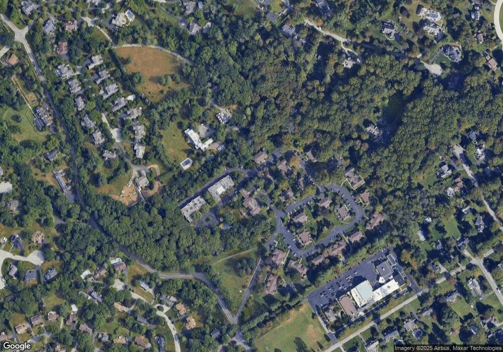
Map
Nearby Homes
- 307 B B000 Summit Dr Unit B
- 202 Summit Dr Unit B
- 103 Summit Dr Unit B
- 67 Parkridge Dr
- 62 Parkridge Dr Unit 62
- 53 Parkridge Dr
- 633 Foxfields Rd
- 14 Westview Rd
- 560 S Bryn Mawr Ave
- 6205 Parkview Dr
- 215 Cornell Dr
- 390 S Bryn Mawr Ave
- 3920 Darby Rd
- 128 Clemson Rd
- 200 Marple Rd
- 145 Landover Rd
- 124 Carli Dr
- 173 Clemson Rd
- 127 Deerfield Rd
- 258 Lee Cir
- A301 Summit Dr Unit A301
- A204 Summit Dr Unit 204A
- A203 Summit Dr Unit A203
- A203 Summit Dr Unit A203
- A306 Summit Dr Unit A306
- A305 Summit Dr Unit A305
- A303 Summit Dr
- A302 Summit Dr Unit A302
- A201 Summit Dr Unit 201A
- 206 Summit Dr Unit A
- 107 Summit Terrace Unit B
- 106 Summit Terrace Unit B
- 207 Summit Dr Unit B
- 206 Summit Dr Unit B
- 101 Summit Terrace Unit B
- 107 Summit Terrace
- 1 Summit Dr Unit B001
- 207 Summit Dr
- 107 Summit Terrace Unit A
- 104 Summit Terrace