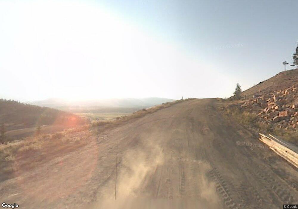
BLK20LT12 Indian Trail Granby, CO 80446
Estimated Value: $711,989 - $1,012,000
3
Beds
3
Baths
2,408
Sq Ft
$369/Sq Ft
Est. Value
About This Home
This home is located at BLK20LT12 Indian Trail, Granby, CO 80446 and is currently estimated at $889,497, approximately $369 per square foot. BLK20LT12 Indian Trail is a home located in Grand County with nearby schools including Middle Park High School and Indian Peaks Charter School.
Ownership History
Date
Name
Owned For
Owner Type
Purchase Details
Closed on
Jul 23, 2019
Sold by
Kerswell Julie and Kerswell Peter
Bought by
Mcvay Benjamin A and Mcvay Clelia M
Current Estimated Value
Home Financials for this Owner
Home Financials are based on the most recent Mortgage that was taken out on this home.
Original Mortgage
$400,000
Outstanding Balance
$350,436
Interest Rate
3.82%
Mortgage Type
New Conventional
Estimated Equity
$539,061
Purchase Details
Closed on
Mar 12, 2007
Sold by
Bane Mark Curtis
Bought by
Kerswell Julie and Kerswell Peter
Create a Home Valuation Report for This Property
The Home Valuation Report is an in-depth analysis detailing your home's value as well as a comparison with similar homes in the area
Home Values in the Area
Average Home Value in this Area
Purchase History
| Date | Buyer | Sale Price | Title Company |
|---|---|---|---|
| Mcvay Benjamin A | $500,000 | Title Company Of The Rockies | |
| Kerswell Julie | $47,000 | None Available |
Source: Public Records
Mortgage History
| Date | Status | Borrower | Loan Amount |
|---|---|---|---|
| Open | Mcvay Benjamin A | $400,000 |
Source: Public Records
Tax History Compared to Growth
Tax History
| Year | Tax Paid | Tax Assessment Tax Assessment Total Assessment is a certain percentage of the fair market value that is determined by local assessors to be the total taxable value of land and additions on the property. | Land | Improvement |
|---|---|---|---|---|
| 2024 | $3,187 | $50,540 | $4,950 | $45,590 |
| 2023 | $3,187 | $50,540 | $4,950 | $45,590 |
| 2022 | $2,185 | $32,790 | $1,560 | $31,230 |
| 2021 | $2,264 | $33,740 | $1,610 | $32,130 |
| 2020 | $1,698 | $28,750 | $930 | $27,820 |
| 2019 | $1,656 | $28,750 | $930 | $27,820 |
| 2018 | $1,295 | $21,660 | $680 | $20,980 |
| 2017 | $1,382 | $21,660 | $680 | $20,980 |
| 2016 | $1,358 | $22,570 | $720 | $21,850 |
| 2015 | $1,250 | $22,570 | $720 | $21,850 |
| 2014 | $1,250 | $20,650 | $0 | $20,650 |
Source: Public Records
Map
Nearby Homes
- 74 Gcr 895
- 223 Indian Trail
- 300 Gcr 859 Beaver Dr Unit 39
- 310 Overlook Dr
- 361 Beaver Dr
- TBD Village Rd
- 433 Gcr 8952
- 577 Gcr 8952
- 574 Overlook Dr
- 457 Forrest Cty Rd 8952 Dr Unit 16
- 457 Gcr 8952 Forrest Dr
- 35 Arapahoe Cir Unit 5
- 433 Forrest Dr
- 547 Gcr 8952
- 658 Forrest Dr
- 985 Forrest Dr
- 985 Forrest Dr Unit 52
- 574 Gcr 899 Overlook Dr
- 74 Gcr 8932
- 19 Willow Dr
- 366 Indian Trail
- 332 Indian Trail
- 78 Gcr 8950
- 78 Indian Trail
- 377 Indian Trail
- 8950 Indian Trail
- 0 Indian Trail
- 314 Indian Trail
- 343 Indian Trail
- 235 Spruce Dr
- 71 County Road 8950
- 160 County Road 8950
- 120 Indian Trail
- 55 Indian Trail
- 292 Indian Trail
- 169 Spruce Dr
- 169 Gcr 896 Spruce Dr
- 138 Cr 8950 Aka Indian Trail
- 138 Indian Trail
- 309 Indian Trail
