Camas Trace Cherokee Village, AR 72529
Estimated payment $0/month
About This Lot
Your Approved for Owner Financing! This Thanksgiving, invest in your future with your own 0.40-acre parcel on Camas Trace, Cherokee Village, AR only $75/month!
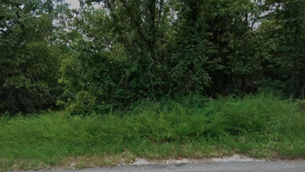
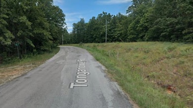
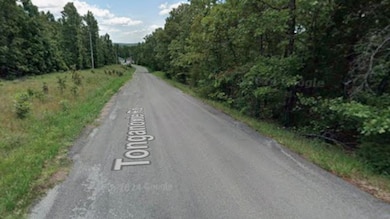
Tucked away on a paved, city-maintained road, this treed lot offers peace, privacy, and endless opportunities to enjoy nature.
Nearby Adventures & Attractions:
Mammoth Spring State Park boating, fishing, hiking, and breathtaking scenery
Ash Flat Ball Park & Depot Museum fun for the whole family
Star Falls & Grand Gulf State Park hiking, exploring, and unforgettable outdoor experiences
Arkansas Welcome Center at Mammoth Spring start your adventures here
Accessibility & Location Perks:
Easy access via US HWY-412 and RT-289
Close to major cities: Jonesboro, Springfield, Memphis, St. Louis
Dont wait Thanksgiving is the perfect time to secure your slice of Arkansas land. Flexible monthly payments make ownership simple, and parcels like this go fast!
Pricing Info:
Cash Price: $ 1, 900
Owner Financing Terms: $ 75 per month for 36 months.
Down Payment: $ 50
Doc Fee: $ 100
Property Details:
County/State: Fulton, AR
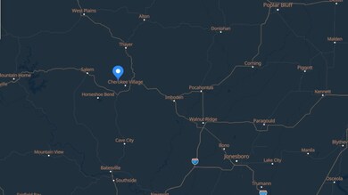
Address: Camas Trace, Cherokee Village, AR 72529
Coordinates: 36.313381, -91.596777
APN: 260-16103-000
Lot Size: 0.40 Acres
Terrain: Sloped, Treed
County/State: Fulton, AR
County & Zoning Info:
Zoning: Single-Family Residential
Camping: Not allowed
RVs: Not allowed
Mobile Homes: Not allowed
Water: Contact Cherokee Village Water Works at (870) 257-3508
Sewer/Septic: Septic needed
Gas: Propane
Listing Agent
Justin McQueen
Horizon Lines Listed on: 11/10/2025

Property Details
Property Type
- Land
Est. Annual Taxes
- $29
Lot Details
- Rural Setting
- Few Trees
- Potential uses include residential single
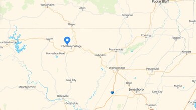
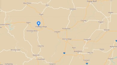
Map
Home Values in the Area
Average Home Value in this Area
Tax History
| Year | Tax Paid | Tax Assessment Tax Assessment Total Assessment is a certain percentage of the fair market value that is determined by local assessors to be the total taxable value of land and additions on the property. | Land | Improvement |
|---|---|---|---|---|
| 2025 | $29 | $700 | $700 | $0 |
| 2024 | $29 | $700 | $700 | $0 |
| 2023 | $29 | $700 | $700 | $0 |
| 2022 | $156 | $700 | $700 | $0 |
| 2021 | $155 | $700 | $700 | $0 |
| 2020 | $25 | $700 | $700 | $0 |
| 2019 | $177 | $700 | $700 | $0 |
| 2018 | $22 | $700 | $700 | $0 |
| 2017 | $17 | $700 | $700 | $0 |
| 2016 | $157 | $700 | $700 | $0 |
| 2015 | -- | $600 | $600 | $0 |
| 2014 | -- | $600 | $600 | $0 |
| 2013 | -- | $600 | $600 | $0 |
Property History
| Date | Event | Price | List to Sale | Price per Sq Ft |
|---|---|---|---|---|
| 11/10/2025 11/10/25 | For Sale | $75 | -- | -- |
Purchase History
| Date | Type | Sale Price | Title Company |
|---|---|---|---|
| Warranty Deed | $2,000 | -- |
- Camas Trace
- 0 Tonganoxie Rd Unit 25017915
- Lot 5 Notus Trace
- Lot 18 Ramah Cir
- Lot 8 Quinton Trace
- 0 Coweta Dr
- Lot 9 Coweta Trace
- Lot 27 Minidoka Dr
- 10 Potlatch Dr
- Lot 61 E Canute Ct
- Lot 46 S Canute Trace
- Lot 21 Canute Dr
- Lot 65 Canute Dr
- Lot 55 Canute Dr
- Lot 10 W Canute Ct
- Lot 11 W Canute Ct
- TBD Owasso Ln
- Lot 37 Paola Cir
- Lot 41 Paola Cir
- Lot 9 Canute Cir
