
Camas Trace Cherokee Village, AR 72529
Estimated payment $0/month
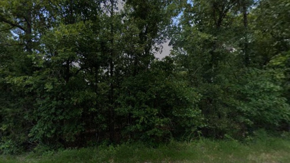
About This Lot
Your Approved for Owner Financing! This Thanksgiving, give yourself the gift of land! Own your very own 0.30-acre treed lot on Camas Trace, Cherokee Village, AR for just $75/month no banks, no credit checks.
Enjoy peace, privacy, and endless outdoor fun right on your property!
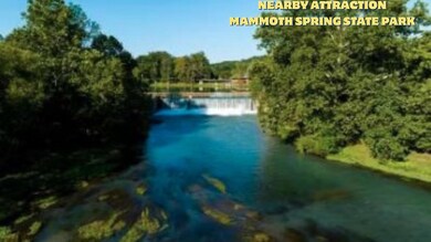
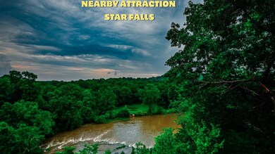
Nearby Adventures & Attractions:
Mammoth Spring State Park boating, fishing, hiking, and breathtaking scenery
Ash Flat Ball Park & Depot Museum perfect for family fun and exploring local history
Star Falls & Grand Gulf State Park adventure, hiking, and scenic nature experiences
Arkansas Welcome Center at Mammoth Spring start your outdoor adventures here
Property & Location Highlights:
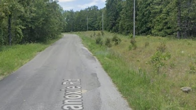
Access Road: Camas Trace | Road Surface: Paved | Maintenance: City maintained
Closest Highways: US HWY-412 & RT-289
Nearby Major Cities: Jonesboro, Springfield, Memphis, St. Louis
Dont miss this limited time offer thanksgiving opportunity to own your slice of Arkansas! Flexible monthly payments make land ownership simple.
Act now properties like this go fast!
Pricing Info:
Cash Price: $ 1, 800
Owner Financing Terms: $ 75 per month for 30 months.
Down Payment: $ 50
Doc Fee: $ 100
Property Details:
County/State: Fulton, AR
Address: Camas Trace, Cherokee Village, AR 72529
Coordinates: 36.312677, -91.597405
APN: 260-16104-000
Lot Size: 0.30 Acres
Terrain: Sloped, Treed
County/State: Fulton, AR
County & Zoning Info:
Zoning: Single-Family Residential
Camping: Not allowed
RVs: Not allowed
Mobile Homes: Not allowed
Water: Contact Cherokee Village Water Works at (870) 257-3508
Sewer/Septic: Septic needed
Gas: Propane
Listing Agent
Justin McQueen
Horizon Lines Listed on: 11/17/2025

Property Details
Property Type
- Land
Est. Annual Taxes
- $29
Lot Details
- Rural Setting
- Off Grid Property
- Few Trees
- Potential uses include residential single
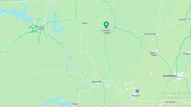
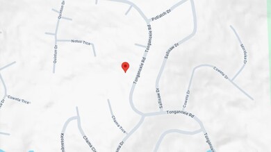
Map
Home Values in the Area
Average Home Value in this Area
Tax History
| Year | Tax Paid | Tax Assessment Tax Assessment Total Assessment is a certain percentage of the fair market value that is determined by local assessors to be the total taxable value of land and additions on the property. | Land | Improvement |
|---|---|---|---|---|
| 2025 | $29 | $700 | $700 | $0 |
| 2024 | $29 | $700 | $700 | $0 |
| 2023 | $29 | $700 | $700 | $0 |
| 2022 | $29 | $700 | $700 | $0 |
| 2021 | $27 | $700 | $700 | $0 |
| 2020 | $25 | $700 | $700 | $0 |
| 2019 | $23 | $700 | $700 | $0 |
| 2018 | $22 | $700 | $700 | $0 |
| 2017 | $17 | $700 | $700 | $0 |
| 2016 | $139 | $700 | $700 | $0 |
| 2015 | -- | $600 | $600 | $0 |
| 2014 | -- | $600 | $600 | $0 |
| 2013 | -- | $600 | $600 | $0 |
Property History
| Date | Event | Price | List to Sale | Price per Sq Ft |
|---|---|---|---|---|
| 11/17/2025 11/17/25 | For Sale | $75 | -- | -- |
Purchase History
| Date | Type | Sale Price | Title Company |
|---|---|---|---|
| Warranty Deed | $2,000 | -- |
- Camas Trace
- 0 Tonganoxie Rd Unit 25017915
- Lot 5 Notus Trace
- Lot 18 Ramah Cir
- Lot 8 Quinton Trace
- 0 Coweta Dr
- Lot 9 Coweta Trace
- Lot 27 Minidoka Dr
- 10 Potlatch Dr
- Lot 61 E Canute Ct
- Lot 46 S Canute Trace
- Lot 21 Canute Dr
- Lot 65 Canute Dr
- Lot 55 Canute Dr
- Lot 10 W Canute Ct
- Lot 11 W Canute Ct
- TBD Owasso Ln
- Lot 37 Paola Cir
- Lot 41 Paola Cir
- Lot 9 Canute Cir