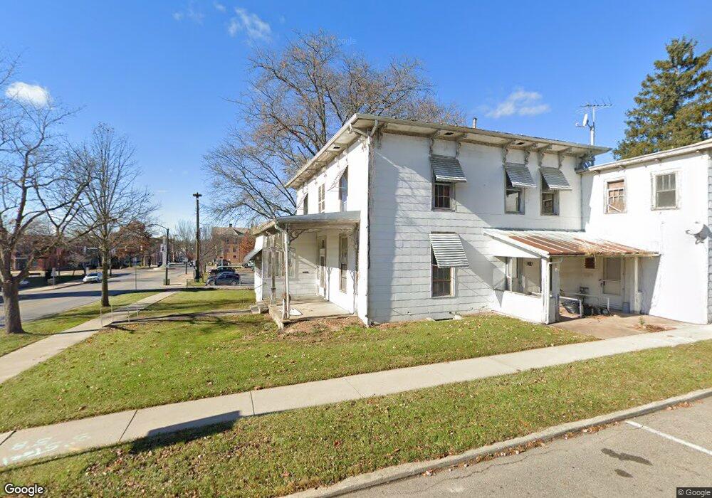
CO20 Rd Mount Gilead, OH 43338
Estimated Value: $254,000 - $326,000
--
Bed
--
Bath
--
Sq Ft
8,930
Sq Ft Lot
About This Home
This home is located at CO20 Rd, Mount Gilead, OH 43338 and is currently estimated at $290,000. CO20 Rd is a home with nearby schools including Northmor Elementary School and Northmor High School.
Ownership History
Date
Name
Owned For
Owner Type
Purchase Details
Closed on
Oct 30, 2018
Sold by
Harrison Gale
Bought by
Shaw Collen and Shaw Beth
Current Estimated Value
Home Financials for this Owner
Home Financials are based on the most recent Mortgage that was taken out on this home.
Interest Rate
4.86%
Purchase Details
Closed on
Jul 12, 2004
Bought by
Harrison Gale
Create a Home Valuation Report for This Property
The Home Valuation Report is an in-depth analysis detailing your home's value as well as a comparison with similar homes in the area
Home Values in the Area
Average Home Value in this Area
Purchase History
| Date | Buyer | Sale Price | Title Company |
|---|---|---|---|
| Shaw Collen | $215,000 | -- | |
| Harrison Gale | $21,000 | -- |
Source: Public Records
Mortgage History
| Date | Status | Borrower | Loan Amount |
|---|---|---|---|
| Closed | Shaw Collen | -- |
Source: Public Records
Tax History Compared to Growth
Tax History
| Year | Tax Paid | Tax Assessment Tax Assessment Total Assessment is a certain percentage of the fair market value that is determined by local assessors to be the total taxable value of land and additions on the property. | Land | Improvement |
|---|---|---|---|---|
| 2024 | $26 | $670 | $670 | $0 |
| 2023 | $26 | $670 | $670 | $0 |
| 2022 | $17 | $390 | $390 | $0 |
| 2021 | $17 | $390 | $390 | $0 |
| 2020 | $17 | $390 | $390 | $0 |
| 2019 | $15 | $350 | $350 | $0 |
| 2018 | $15 | $350 | $350 | $0 |
| 2017 | $15 | $350 | $350 | $0 |
| 2016 | $14 | $320 | $320 | $0 |
| 2015 | $13 | $320 | $320 | $0 |
| 2014 | $14 | $320 | $320 | $0 |
| 2013 | $13 | $320 | $320 | $0 |
Source: Public Records
Map
Nearby Homes
- 6160 Congress St
- 7326 State Route 19 Unit 1 Lots 62-63
- 7326 State Route 19 Unit 6 Lots 90 91 92
- 6410 Township Road 84
- 5615 County Road 98
- 7326 State Route 19 Unit 9 Lots 327-328
- 7326 State Route 19 Unit 9 Lots 256-257
- 6726 County Road 22
- 7071 County Road 56
- 0 State Route 61 Unit 9066611
- 5545 County Road 240-Bryn Zion Rd
- VL Twp Rd 165
- 7326
- 281 Stanford Ct Unit 8
- 124 Picadilly Dr Unit 8
- 8-281 Stanford Ct
- 165 Waldemar Ct Unit 8
- 7007 County Road 97
- 7326 State Route 19 Unit 2 Lots 286-287
- 7326 State Route 19 Unit 2 Lots 1-2
- 6290 County Road 20
- 6250 Rt 42 St
- 6303 County Road 20
- 6250 U S 42
- 6296 County Road 20
- 6311 County Road 20
- 6396 County Road 20
- 6396 County Road 20
- 6396 County Road 20
- 6057 Township Road 87
- 6394 County Road 20
- 6394 County Road 20
- 6045 Township Road 87
- 6278 U S 42
- 0 Rt 42 St Unit 41465
- 0 Rt 42 St Unit 41460
- 0 Rt 42 St Unit 41453
- 0 Rt 42 St Unit 9929892
- 0 Rt 42 St Unit 2110845
- 0 Rt 42 St Unit 9932711