4
Beds
5
Baths
3,050
Sq Ft
1,064,171
Sq Ft Lot
About This Home
This home is located at Dr, Baltimore, MD 21230. Dr is a home located in Baltimore City with nearby schools including Thomas Johnson Elementary School, Booker T. Washington Middle School, and Digital Harbor High School.
Ownership History
Date
Name
Owned For
Owner Type
Purchase Details
Closed on
Nov 20, 2023
Sold by
Insulator Drive Llc
Bought by
Gs Port Covington Apartments Owner Llc
Home Financials for this Owner
Home Financials are based on the most recent Mortgage that was taken out on this home.
Original Mortgage
$74,609,888
Interest Rate
6.95%
Mortgage Type
Construction
Purchase Details
Closed on
Sep 15, 2022
Sold by
Locke Insulators Inc
Bought by
Insulator Drive Llc
Home Financials for this Owner
Home Financials are based on the most recent Mortgage that was taken out on this home.
Original Mortgage
$6,500,000
Interest Rate
5.13%
Mortgage Type
New Conventional
Purchase Details
Closed on
May 31, 1988
Sold by
Locke Insulators Inc
Bought by
Insulator Drive Llc
Create a Home Valuation Report for This Property
The Home Valuation Report is an in-depth analysis detailing your home's value as well as a comparison with similar homes in the area
Purchase History
| Date | Buyer | Sale Price | Title Company |
|---|---|---|---|
| Gs Port Covington Apartments Owner Llc | $11,050,000 | First American Title Insurance | |
| Insulator Drive Llc | -- | None Listed On Document | |
| Insulator Drive Llc | -- | None Listed On Document |
Source: Public Records
Mortgage History
| Date | Status | Borrower | Loan Amount |
|---|---|---|---|
| Previous Owner | Gs Port Covington Apartments Owner Llc | $74,609,888 | |
| Previous Owner | Insulator Drive Llc | $6,500,000 | |
| Previous Owner | Insulator Drive Llc | $22,000,000 |
Source: Public Records
Tax History
| Year | Tax Paid | Tax Assessment Tax Assessment Total Assessment is a certain percentage of the fair market value that is determined by local assessors to be the total taxable value of land and additions on the property. | Land | Improvement |
|---|---|---|---|---|
| 2025 | $149,630 | $6,370,600 | $6,370,600 | -- |
| 2024 | $149,630 | $6,370,600 | $6,370,600 | -- |
| 2023 | $143,432 | $6,106,700 | $6,106,700 | $0 |
| 2022 | $189,784 | $8,041,700 | $6,106,700 | $1,935,000 |
| 2021 | $189,784 | $8,041,700 | $6,106,700 | $1,935,000 |
| 2020 | $196,262 | $8,316,200 | $6,106,700 | $2,209,500 |
| 2019 | $184,387 | $7,850,400 | $0 | $0 |
| 2018 | $174,277 | $7,384,600 | $0 | $0 |
| 2017 | $163,284 | $6,918,800 | $0 | $0 |
| 2016 | $165,806 | $6,918,800 | $0 | $0 |
| 2015 | $165,806 | $6,918,800 | $0 | $0 |
| 2014 | $165,806 | $7,000,000 | $0 | $0 |
Source: Public Records
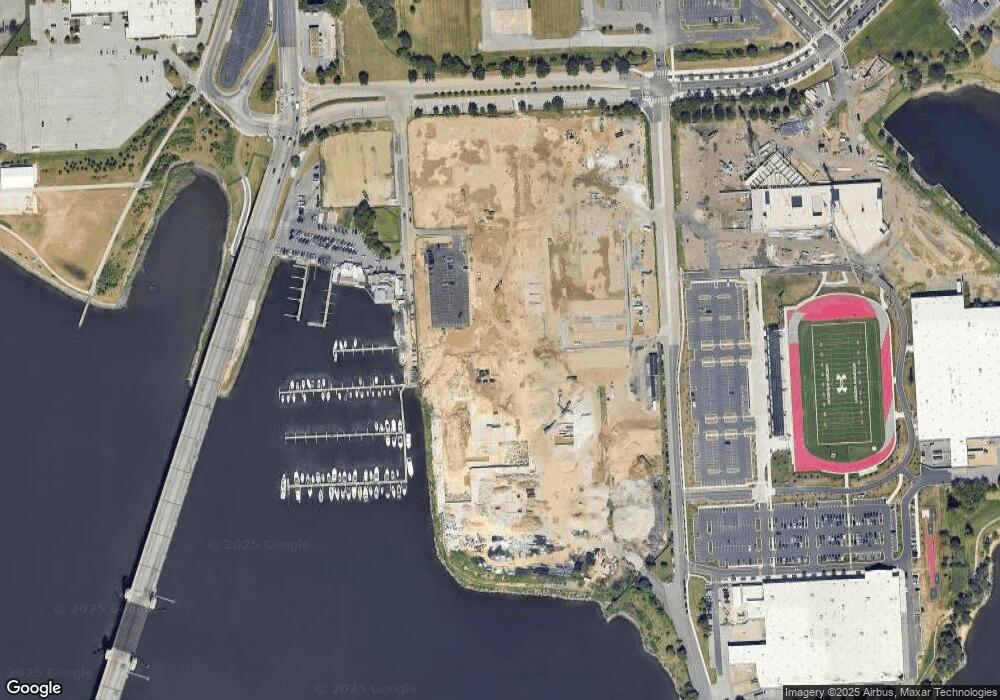
Map
Nearby Homes
- TBB Ferry Bar Dr Unit WATERFORD
- TBB Ferry Bar Dr Unit ROCKLAND
- 2710 Light St
- 2716 Light St
- 112 Glass Ln
- TBB Crown St Unit BRIDGTON
- 2717 Light St
- 2727 Light St
- 2719 Light St
- 112 Locke St Unit A
- 128B Locke St
- 118 Locke St Unit B
- 118B Locke St Mews
- 2508 W Peninsula Dr Unit 302A
- 103 E Cromwell St
- 105 E Cromwell St
- 105 E Cromwell St Unit 1004
- 107 E Cromwell St Unit 1005
- 107 E Cromwell St Unit 2005
- 111 E Cromwell St Unit 1007
- 2625 Ferry Bar Dr
- HOMESITE 129 Ferry Bar Dr
- 2620 Light St
- Homesite 281 Light St
- 2618 Light St
- 0 Homesite 85 Crown St Unit 36424100
- St
- 2608 Light St
- Homesite 220 Light St
- 2606 Light St
- 2606 W Peninsula Dr Unit 309B
- Homesite 81 Crown St
- Homesite 81 Crown St
- Homesite 81 Crown St
- Homesite 81 Crown St
- Homesite 81 Crown St
- Homesite 81 Crown St
- Homesite 81 Crown St
- Homesite 81 Crown St
- Homesite 81 Crown St
Your Personal Tour Guide
Ask me questions while you tour the home.