e 2029 Waletta Dr Waupaca, WI 54981
Estimated Value: $130,000 - $385,000
2
Beds
2
Baths
950
Sq Ft
$269/Sq Ft
Est. Value
About This Home
This home is located at e 2029 Waletta Dr, Waupaca, WI 54981 and is currently estimated at $255,333, approximately $268 per square foot. e 2029 Waletta Dr is a home located in Waupaca County with nearby schools including Waupaca Learning Center Elementary School, Waupaca Middle School, and Waupaca High School.
Ownership History
Date
Name
Owned For
Owner Type
Purchase Details
Closed on
Aug 20, 2011
Sold by
Helland Scott G
Bought by
Carini Ross D and Helland Carini Kathleen R
Current Estimated Value
Home Financials for this Owner
Home Financials are based on the most recent Mortgage that was taken out on this home.
Original Mortgage
$17,300
Interest Rate
4.01%
Mortgage Type
Purchase Money Mortgage
Purchase Details
Closed on
Oct 11, 2007
Sold by
Helland Scott G
Bought by
Helland Scott G and Helland Carini Kathleen R
Create a Home Valuation Report for This Property
The Home Valuation Report is an in-depth analysis detailing your home's value as well as a comparison with similar homes in the area
Home Values in the Area
Average Home Value in this Area
Purchase History
| Date | Buyer | Sale Price | Title Company |
|---|---|---|---|
| Carini Ross D | $37,300 | None Available | |
| Helland Scott G | -- | None Available |
Source: Public Records
Mortgage History
| Date | Status | Borrower | Loan Amount |
|---|---|---|---|
| Previous Owner | Carini Ross D | $17,300 |
Source: Public Records
Tax History Compared to Growth
Tax History
| Year | Tax Paid | Tax Assessment Tax Assessment Total Assessment is a certain percentage of the fair market value that is determined by local assessors to be the total taxable value of land and additions on the property. | Land | Improvement |
|---|---|---|---|---|
| 2024 | $1,720 | $161,600 | $106,900 | $54,700 |
| 2023 | $1,720 | $161,600 | $106,900 | $54,700 |
| 2022 | $1,724 | $98,100 | $66,800 | $31,300 |
| 2021 | $1,665 | $98,100 | $66,800 | $31,300 |
| 2020 | $1,564 | $98,100 | $66,800 | $31,300 |
| 2019 | $1,596 | $98,100 | $66,800 | $31,300 |
| 2018 | $1,883 | $98,100 | $66,800 | $31,300 |
| 2017 | $1,850 | $98,100 | $66,800 | $31,300 |
| 2016 | $1,850 | $98,100 | $66,800 | $31,300 |
| 2015 | $1,767 | $98,100 | $66,800 | $31,300 |
| 2014 | $1,791 | $96,800 | $66,800 | $30,000 |
| 2013 | $1,774 | $96,800 | $66,800 | $30,000 |
Source: Public Records
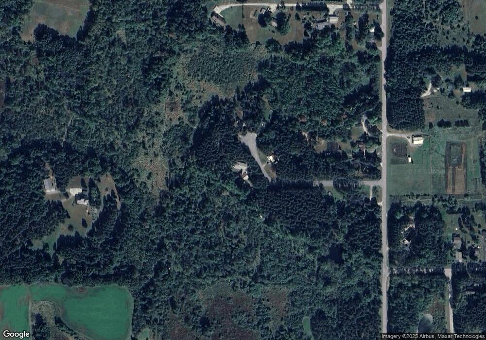
Map
Nearby Homes
- E2041 Meadowlark Ln
- 0 State Road 22 Unit 50271805
- 0 State Road 22 Unit 50271804
- E2319 Parfreyville Rd
- N1705 Virginia Dr
- N1983 Evergreen Ln
- N2071 Mary Jane Cir
- N1903 Virginia Dr
- E2086 King Rd
- E1852 King Rd
- E1761 Amy St
- N2769 Taylor Ct
- N2089 Shadow Rd
- 0 Crystal Rd Unit 50302177
- E1457 Rural Rd
- 0 Pryse Dr
- E1747 Pine Ridge Ln
- E1396 Grandview Rd
- N2475 E Miner Dr
- 1579 Foxfire Ct
- E2029 Waletta Dr
- E2024 Waletta Dr
- E2047 Waletta Dr
- E2038 Waletta Dr
- E2046 Waletta Dr
- 0 Waletta Dr
- E2068 Waletta Dr
- N2336 Parfreyville Rd
- N2319 Parfreyville Rd
- N2243 Parfreyville Rd
- N2194 Smith Rd
- N2315 Parfreyville Rd
- N2247 Parfreyville Rd
- N2255 Parfreyville Rd
- N2219 Parfreyville Rd
- N2227 Parfreyville Rd
- N2301 Parfreyville Rd
- E2082 Meadowlark Ln
- N2252 Parfreyville Rd
- N2270 Parfreyville Rd