e 4217 E Gate Dr Waupaca, WI 54981
--
Bed
--
Bath
--
Sq Ft
3.09
Acres
About This Home
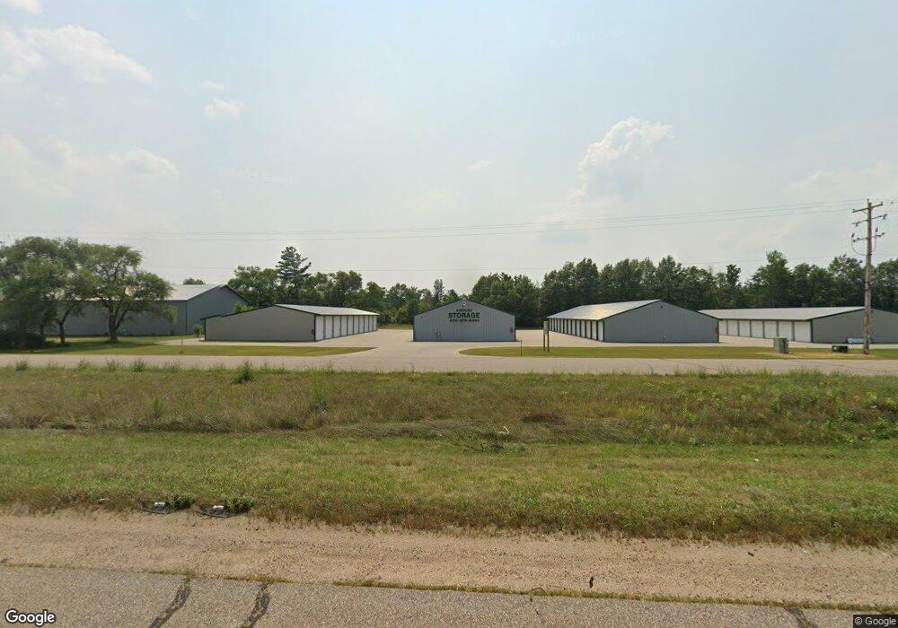
This home is located at e 4217 E Gate Dr, Waupaca, WI 54981. e 4217 E Gate Dr is a home located in Waupaca County with nearby schools including Waupaca Learning Center Elementary School, Waupaca Middle School, and Waupaca High School.
Ownership History
Date
Name
Owned For
Owner Type
Purchase Details
Closed on
Aug 28, 2015
Sold by
Partridge Crop Llc
Bought by
Airport Mini Storage Llc
Home Financials for this Owner
Home Financials are based on the most recent Mortgage that was taken out on this home.
Original Mortgage
$84,363
Interest Rate
3.97%
Mortgage Type
Future Advance Clause Open End Mortgage
Purchase Details
Closed on
Apr 16, 2010
Sold by
Kasprzyk David
Bought by
Partridge Crop Llc
Purchase Details
Closed on
Feb 1, 2007
Sold by
Kasprazyk David
Bought by
Patridge Crop Llc
Home Financials for this Owner
Home Financials are based on the most recent Mortgage that was taken out on this home.
Original Mortgage
$140,000
Interest Rate
7%
Mortgage Type
Seller Take Back
Create a Home Valuation Report for This Property
The Home Valuation Report is an in-depth analysis detailing your home's value as well as a comparison with similar homes in the area
Home Values in the Area
Average Home Value in this Area
Purchase History
| Date | Buyer | Sale Price | Title Company |
|---|---|---|---|
| Airport Mini Storage Llc | $95,000 | None Available | |
| Partridge Crop Llc | -- | None Available | |
| Patridge Crop Llc | $240,000 | None Available |
Source: Public Records
Mortgage History
| Date | Status | Borrower | Loan Amount |
|---|---|---|---|
| Closed | Airport Mini Storage Llc | $84,363 | |
| Previous Owner | Patridge Crop Llc | $140,000 |
Source: Public Records
Tax History Compared to Growth
Tax History
| Year | Tax Paid | Tax Assessment Tax Assessment Total Assessment is a certain percentage of the fair market value that is determined by local assessors to be the total taxable value of land and additions on the property. | Land | Improvement |
|---|---|---|---|---|
| 2024 | $5,281 | $421,500 | $66,400 | $355,100 |
| 2023 | $5,281 | $368,800 | $62,000 | $306,800 |
| 2022 | $5,320 | $368,800 | $62,000 | $306,800 |
| 2021 | $4,416 | $276,100 | $56,400 | $219,700 |
| 2020 | $4,396 | $276,100 | $56,400 | $219,700 |
| 2019 | $3,805 | $211,900 | $40,000 | $171,900 |
| 2018 | $4,417 | $211,900 | $40,000 | $171,900 |
| 2017 | $2,105 | $109,000 | $40,000 | $69,000 |
| 2016 | $2,105 | $109,000 | $40,000 | $69,000 |
| 2015 | $4,567 | $109,000 | $40,000 | $69,000 |
| 2014 | $4,577 | $230,000 | $80,000 | $150,000 |
| 2013 | $4,630 | $230,000 | $80,000 | $150,000 |
Source: Public Records
Map
Nearby Homes
- E4347 E Gate Dr
- 0 Runway Dr Unit 50291193
- 0 Runway Dr Unit 50256086
- 0 Runway Dr Unit 50179248
- 0 Commercial Dr Unit 50291246
- 0 Commercial Dr Unit 50312972
- 0 Commercial Dr Unit 50291198
- 0 Commercial Dr Unit 50312984
- 2333 Runway Dr
- 1545 Webster Way
- 0 State Road 22-54 Unit 50291195
- 0 State Road 22-54 Unit 50291197
- 2016 Farm Dr
- 1926 Huffcutt Ln
- 1927 Huffcutt Ln
- 0 Handrich Rd
- 0 State Highway 22 54
- E3192 Apple Tree Ln
- N2559 Pleasant View Ln
- 0 High Point Ridge Unit 50308213
- E4217 E Gate Dr
- N2460 Airport Rd
- E4259 E Gate Dr
- E4259 E Gate Dr
- 0 E Gate Dr Unit 50215223
- 0 E Gate Dr Unit 50215224
- 0 E Gate Dr Unit 50022797
- 0 E Gate Dr Unit 50149389
- E4120 Runway Dr
- N2353 Airport Rd
- N818 N818 Hwy E
- N818 Hwy E
- E4320 Us Highway 10 49
- 2501 Runway Dr
- E4045 E Gate Dr
- 0 Runway Dr Unit 50016687
- 0 Runway Dr Unit 50272069
- 0 Runway Dr Unit 50249358
- 0 Runway Dr Unit 20804662
- 0 Runway Dr Unit 20804661