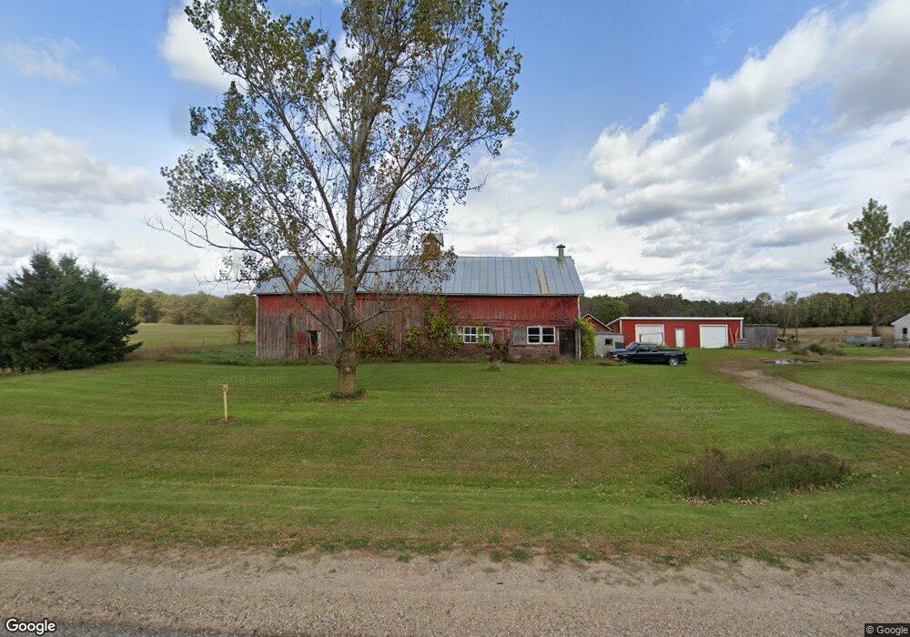
E1002 State Road 54 Waupaca, WI 54981
Estimated Value: $204,489 - $766,000
Studio
--
Bath
--
Sq Ft
154,638
Sq Ft Lot
About This Home
This home is located at E1002 State Road 54, Waupaca, WI 54981 and is currently estimated at $508,830. E1002 State Road 54 is a home with nearby schools including Waupaca Learning Center Elementary School, Waupaca Middle School, and Waupaca High School.
Ownership History
Date
Name
Owned For
Owner Type
Purchase Details
Closed on
Mar 4, 2024
Sold by
Horizon Properties Of Waupaca Llc
Bought by
Carroll Lanae M
Current Estimated Value
Purchase Details
Closed on
Mar 1, 2011
Sold by
Horizon Properties Llc
Bought by
Stephens Michael Alan
Home Financials for this Owner
Home Financials are based on the most recent Mortgage that was taken out on this home.
Original Mortgage
$150,000
Interest Rate
7%
Mortgage Type
Seller Take Back
Create a Home Valuation Report for This Property
The Home Valuation Report is an in-depth analysis detailing your home's value as well as a comparison with similar homes in the area
Purchase History
| Date | Buyer | Sale Price | Title Company |
|---|---|---|---|
| Carroll Lanae M | $106,500 | None Listed On Document | |
| Stephens Michael Alan | $150,000 | None Available |
Source: Public Records
Mortgage History
| Date | Status | Borrower | Loan Amount |
|---|---|---|---|
| Previous Owner | Stephens Michael Alan | $150,000 |
Source: Public Records
Tax History
| Year | Tax Paid | Tax Assessment Tax Assessment Total Assessment is a certain percentage of the fair market value that is determined by local assessors to be the total taxable value of land and additions on the property. | Land | Improvement |
|---|---|---|---|---|
| 2024 | $2,562 | $155,500 | $25,000 | $130,500 |
| 2023 | $2,250 | $155,500 | $25,000 | $130,500 |
| 2022 | $1,931 | $155,500 | $25,000 | $130,500 |
| 2021 | $1,810 | $108,500 | $14,200 | $94,300 |
| 2020 | $1,790 | $108,500 | $14,200 | $94,300 |
| 2019 | $1,793 | $108,500 | $14,200 | $94,300 |
| 2018 | $1,968 | $108,500 | $14,200 | $94,300 |
| 2017 | $1,937 | $108,500 | $14,200 | $94,300 |
| 2016 | $1,937 | $108,500 | $14,200 | $94,300 |
| 2015 | $1,900 | $108,500 | $14,200 | $94,300 |
| 2014 | $1,886 | $108,500 | $14,200 | $94,300 |
| 2013 | $3,230 | $181,600 | $23,100 | $158,500 |
Source: Public Records
Map
Nearby Homes
- N2942 Highland Ln
- E1280 County Road Q Unit 3
- E1280 County Road Q
- N3032 Hicks Ln
- E1402 Grandview Rd
- N3820 Manney Ct
- E1592 Murray Ln
- E1747 Pine Ridge Ln
- 2001 State Rd 54
- N2883 Otter Dr
- N2307 Whispering Pines Rd
- E1234 Pine Tree Point
- E1628 River Wood Dr
- N2208 Cleghorn Rd
- 1456 Foxfire Ct
- 1547 Foxfire Ct
- E1990 State Road 54
- 1000 County Road Qq
- 10976 Red Pine Way
- E1471 Arbor St
- 1002 E Hwy 54
- E957 State Road 54
- E1022 State Road 54
- E1009 State Road 54
- N3095 Hwy Q
- E1085 State Road 54
- N3131 W Silver Lake Dr
- 0 Silver View Heights Unit 20804266
- N3150 W Silver Lake Dr
- N3172 W Silver Lake Dr
- N3160 W Silver Lake Dr
- N3125 W Silver Lake Dr
- N3183 Hwy Q
- 3128 W Silver Lake Dr
- n 3128 W Silver Lake Dr
- N3183 County Road Q
- N3121 W Silver Lake Dr
- N3180 W Silver Lake Dr
- N3128 W Silver Lake Dr
- 3124 N Silver Lake Dr
Your Personal Tour Guide
Ask me questions while you tour the home.