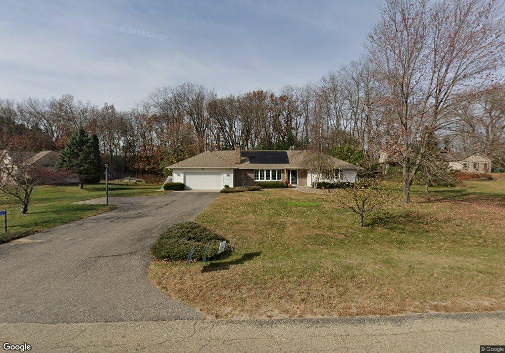
E11062 Wynsong Dr Baraboo, WI 53913
Estimated Value: $412,000 - $504,000
2
Beds
2
Baths
2,100
Sq Ft
$208/Sq Ft
Est. Value
About This Home
This home is located at E11062 Wynsong Dr, Baraboo, WI 53913 and is currently estimated at $437,560, approximately $208 per square foot. E11062 Wynsong Dr is a home located in Sauk County with nearby schools including Baraboo High School, St. John's Lutheran School, and St. Joseph Catholic School.
Ownership History
Date
Name
Owned For
Owner Type
Purchase Details
Closed on
Oct 27, 2022
Sold by
Mihm Daniel A and Mihm Laura L
Bought by
Mihm Daniel A and Mihm Laura L
Current Estimated Value
Purchase Details
Closed on
Sep 16, 2011
Sold by
Estate Of Elva A Christopher
Bought by
Mihm Daniel A and Mihm Laura L
Home Financials for this Owner
Home Financials are based on the most recent Mortgage that was taken out on this home.
Original Mortgage
$141,000
Interest Rate
4.4%
Mortgage Type
New Conventional
Create a Home Valuation Report for This Property
The Home Valuation Report is an in-depth analysis detailing your home's value as well as a comparison with similar homes in the area
Home Values in the Area
Average Home Value in this Area
Purchase History
| Date | Buyer | Sale Price | Title Company |
|---|---|---|---|
| Mihm Daniel A | -- | None Listed On Document | |
| Mihm Daniel A | $188,000 | None Available |
Source: Public Records
Mortgage History
| Date | Status | Borrower | Loan Amount |
|---|---|---|---|
| Previous Owner | Mihm Daniel A | $141,000 |
Source: Public Records
Tax History Compared to Growth
Tax History
| Year | Tax Paid | Tax Assessment Tax Assessment Total Assessment is a certain percentage of the fair market value that is determined by local assessors to be the total taxable value of land and additions on the property. | Land | Improvement |
|---|---|---|---|---|
| 2024 | $2,703 | $364,400 | $60,600 | $303,800 |
| 2023 | $2,448 | $364,400 | $60,600 | $303,800 |
| 2022 | $4,271 | $254,200 | $52,500 | $201,700 |
| 2021 | $4,171 | $254,200 | $52,500 | $201,700 |
| 2020 | $4,248 | $254,200 | $52,500 | $201,700 |
| 2019 | $4,196 | $254,200 | $52,500 | $201,700 |
| 2018 | $3,865 | $254,200 | $52,500 | $201,700 |
| 2017 | $3,854 | $254,200 | $52,500 | $201,700 |
| 2016 | $4,194 | $266,800 | $53,900 | $212,900 |
| 2015 | $4,332 | $266,800 | $53,900 | $212,900 |
| 2014 | $4,110 | $266,800 | $53,900 | $212,900 |
Source: Public Records
Map
Nearby Homes
- S4166 Whispering Pines Dr
- 80.68 Acres Fox Hill Rd
- 36.2A Fox Hill Rd
- 35.57 Fox Hill Rd
- E11220 Birnam Woods Rd
- S3898 County Highway Bd
- 59.04 County Rd W
- 713 Madison Ave
- 633 Naragansett Ave
- L52 Draper St
- 203 Linn St
- 500 Willow St
- 604 9th Ave
- 327 8th Ave
- E11086 Hatchery Rd
- 0 U S 12
- 116 9th Ave
- 1326 Ash St
- 616 West St
- 327 5th Ave
- E11056 Wynsong Dr
- E11025 W Wynsong Ln
- E11047 W Wynsong Ln
- E11052 Wynsong Dr
- E11019 W Wynsong Ln
- E11063 Wynsong Dr
- E11059 Wynsong Dr
- E11015 W Wynsong Ln
- E11053 Wynsong Dr
- E11046 Wynsong Dr
- E11036 W Wynsong Ln
- E11077 Wynsong Dr
- E11007 W Wynsong Ln
- E11040 Wynsong Dr
- E11045 Wynsong Dr
- E11022 W Wynsong Ln
- Lot 75 Whispering Pines Dr
- E11109 Wynsong Dr
- E11034 Wynsong Dr
- E11081 Wynsong Dr